MyTopo
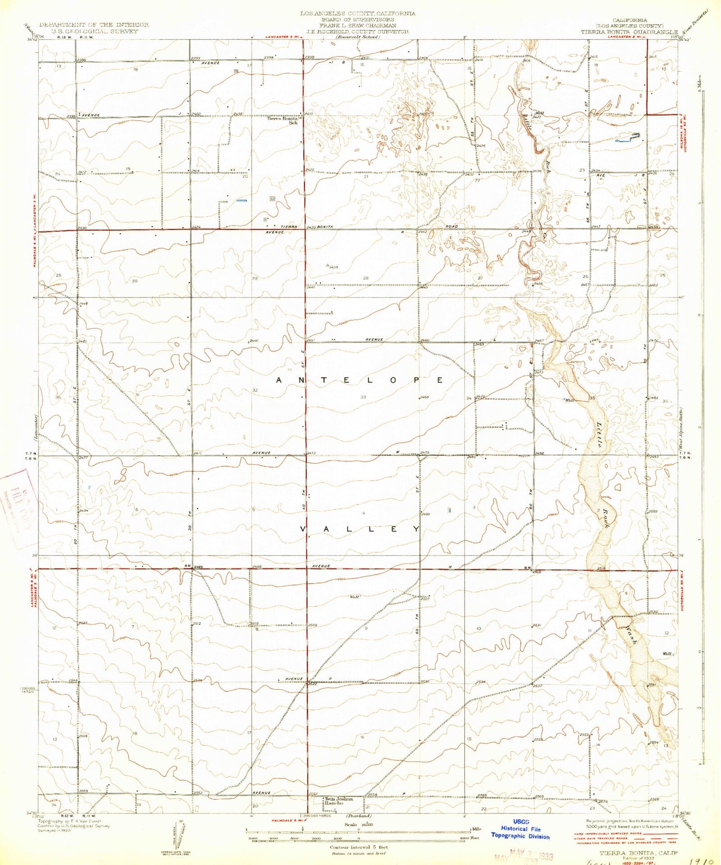
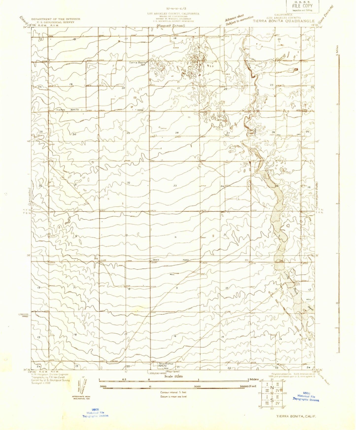
Classic USGS Tierra Bonita California 7.5'x7.5' Topo Map
Couldn't load pickup availability
Historical USGS topographic quad map of Tierra Bonita in the state of California. Map scale may vary for some years, but is generally around 1:24,000. Print size is approximately 24" x 27"
This quadrangle is in the following counties: Los Angeles.
The map contains contour lines, roads, rivers, towns, and lakes. Printed on high-quality waterproof paper with UV fade-resistant inks, and shipped rolled.
Contains the following named places: Airport Terminal Police, Desert Aire Golf Course, KUTY-AM (Palmdale), Los Angeles County Fire Department Station 117, Los Angeles County Fire Department Station 135, Palmdale Army Air Field, Palmdale United States Air Force Plant 42, Sheriffs Heliport, Skytower Park, Tierra Bonita Park, Tierra Bonita School, Twin Joshua Rancho, United States Air Force Plant 42, United States Air Force Plant 42 Fire Department Station 1 Headquarters, United States Air Force Plant 42 Fire Department Station 2