MyTopo
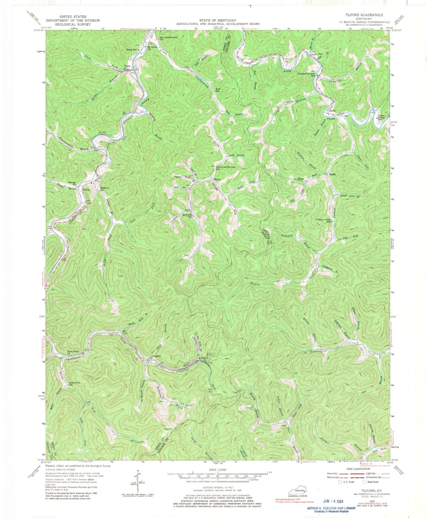
Classic USGS Tilford Kentucky 7.5'x7.5' Topo Map
Couldn't load pickup availability
Historical USGS topographic quad map of Tilford in the state of Kentucky. Map scale may vary for some years, but is generally around 1:24,000. Print size is approximately 24" x 27"
This quadrangle is in the following counties: Harlan, Letcher, Perry.
The map contains contour lines, roads, rivers, towns, and lakes. Printed on high-quality waterproof paper with UV fade-resistant inks, and shipped rolled.
Contains the following named places: Andy Branch, Ax Handle Branch, Baker Branch, Banks, Barkcamp Branch, Bates Fork, Bear Branch, Beech Fork, Beech Rock Branch, Beehive, Beehive Branch, Beehive School, Bent Branch, Berean Church, Big Leatherwood Church, Blair Fork, Campbell Branch, Campbell Branch School, Cedar Grove School, Cliff Branch, Cole Fork, Coon Branch, Cornettsville Fire Department, Daisy, Daisy Division, Daisy Post Office, Daisy School, Deadening Branch, Deephole Branch, Delphia, Delphia Post Office, Delphia School, Dike Branch, Field Fork, Gibson Branch, Hallie, Hallie Post Office, Hicks Branch, Holcom Church, Holcomb School, Horn Branch, Huff School, Indian Branch, Ingram Branch, Jackson Fork, Jesse Post Office, Jessie Post Office, Jewell Ridge, Jewell Ridge Railroad Station, Jim Polly Branch, Josie Post Office, Lake Tom, Leatherwood Fire Department, Leatherwood Railroad Station, Left Fork Bates Fork, Left Fork Beehive Branch, Little Leatherwood Creek, Little Leatherwood School, Long Branch, Long Prong Branch, Lost Fork, Lower Twin Branch, Macedonia Community Church, Miniard School, Mount Olivet Baptist Church, Muriel Branch, Nats Branch, Oldhouse Branch, Owens Branch, Owens Cabin Branch, Pigeon Fork, Pigeon Roost Branch, Pitcher Branch, Puncheoncamp Branch, Right Fork Beehive Branch, Right Fork Hicks Branch, Right Fork Stony Fork, Road Fork, Saltlick Branch, Seng Branch, Shipley Branch, Slemp, Slemp Post Office, Stony Fork, Stony Fork Church, Stony Fork School, Straight Fork, Tilford, Tilford Post Office, Turkey Creek, Turkey Creek School, Upper Twin Branch, Walter Railroad Station, Wentz, Wentz Post Office, Wilson Branch, Wolfpen Branch, ZIP Codes: 41731, 41735, 41821


