MyTopo
Classic USGS Tiller Oregon 7.5'x7.5' Topo Map
Couldn't load pickup availability
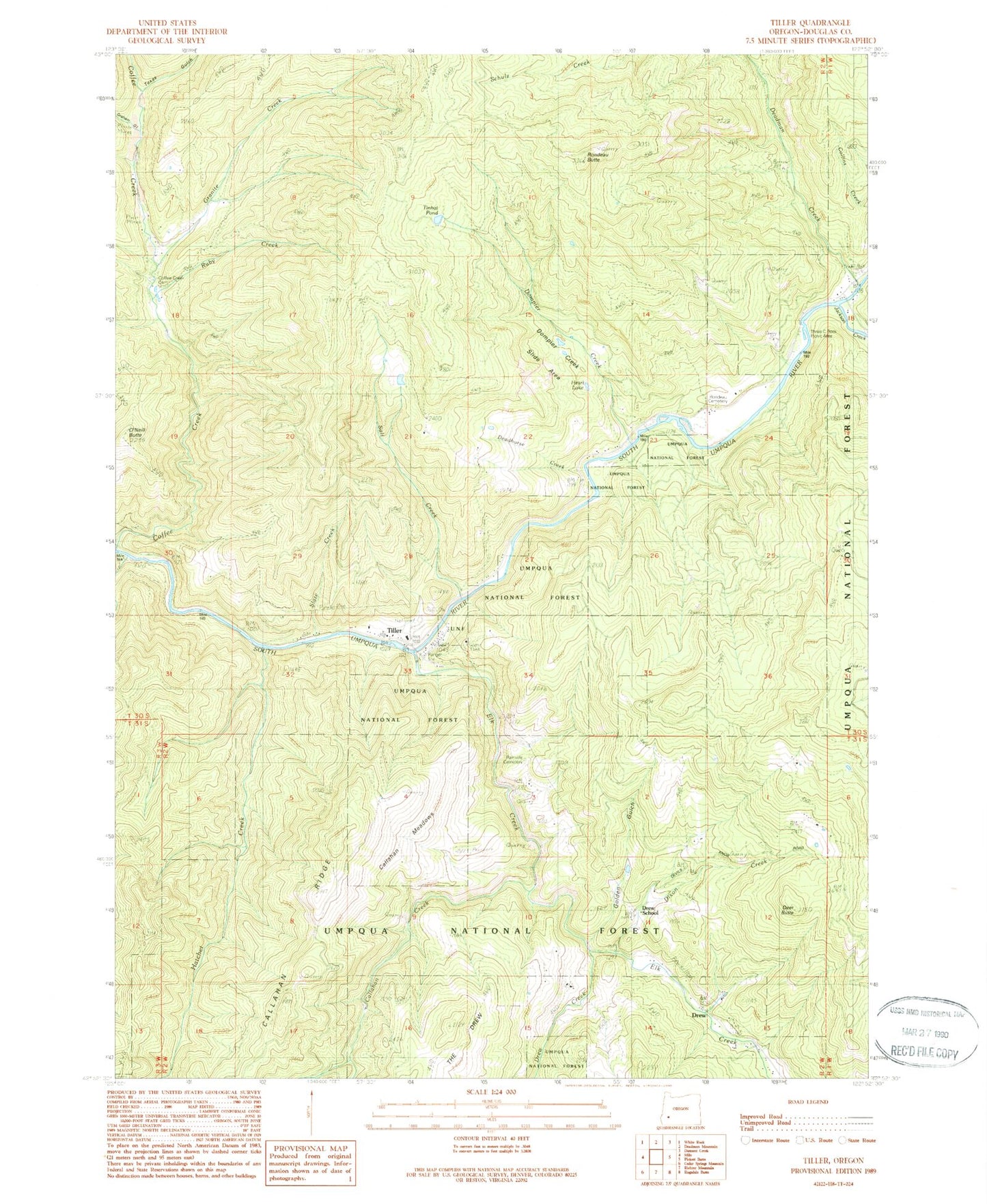
Historical USGS topographic quad map of Tiller in the state of Oregon. Map scale may vary for some years, but is generally around 1:24,000. Print size is approximately 24" x 27"
This quadrangle is in the following counties: Douglas.
The map contains contour lines, roads, rivers, towns, and lakes. Printed on high-quality waterproof paper with UV fade-resistant inks, and shipped rolled.
Contains the following named places: Brown Ranch, Callahan Creek, Callahan Lookout, Callahan Meadows, Callahan Ridge, Camp Creek, Cathedral Creek, Coffee Creek Cemetery, Cole Creek, Cook Creek, Cow Creek, Deadhorse Creek, Deadman Creek, Deer Butte, Dixon Creek, Dompier Creek, Dompier Creek Slide Area, Drew, Drew Creek, Drew Post Office, Drew School, Elk Creek, Golden Gulch, Graham Gulch, Granite Creek, Hatchet Creek, Heart Lake, Jackson Creek, Joseph Reed Dam, Joseph Reed Reservoir, Lake Creek, Lucas Ranch, Marshall Place, Neet Post Office, O'Neill Butte, Rainville Cemetery, Rondeau Butte, Rondeau Cemetery, Ruby Creek, Salt Creek, Slate Creek, South Umpqua Division, Texas Gulch, Three C Rock Campground Boat Launch, Three C Rock Recreation Site, Tiller, Tiller Elementary School, Tiller Post Office, Tiller Ranger Station, Tiller Rural Fire Protection District Headquarters, Tinhat Pond, United States Forest Service Tiller Ranger District


