
MyTopo
Classic USGS Tim Mountain Maine 7.5'x7.5' Topo Map
Couldn't load pickup availability
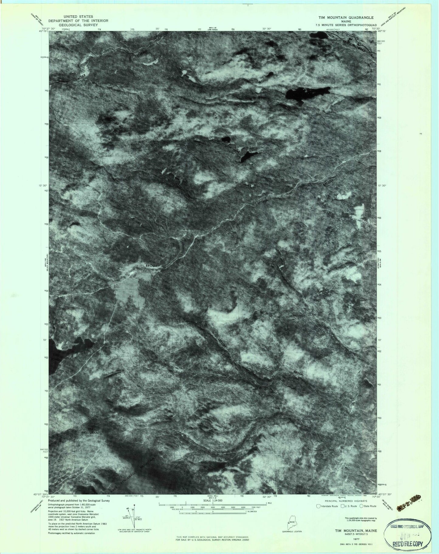
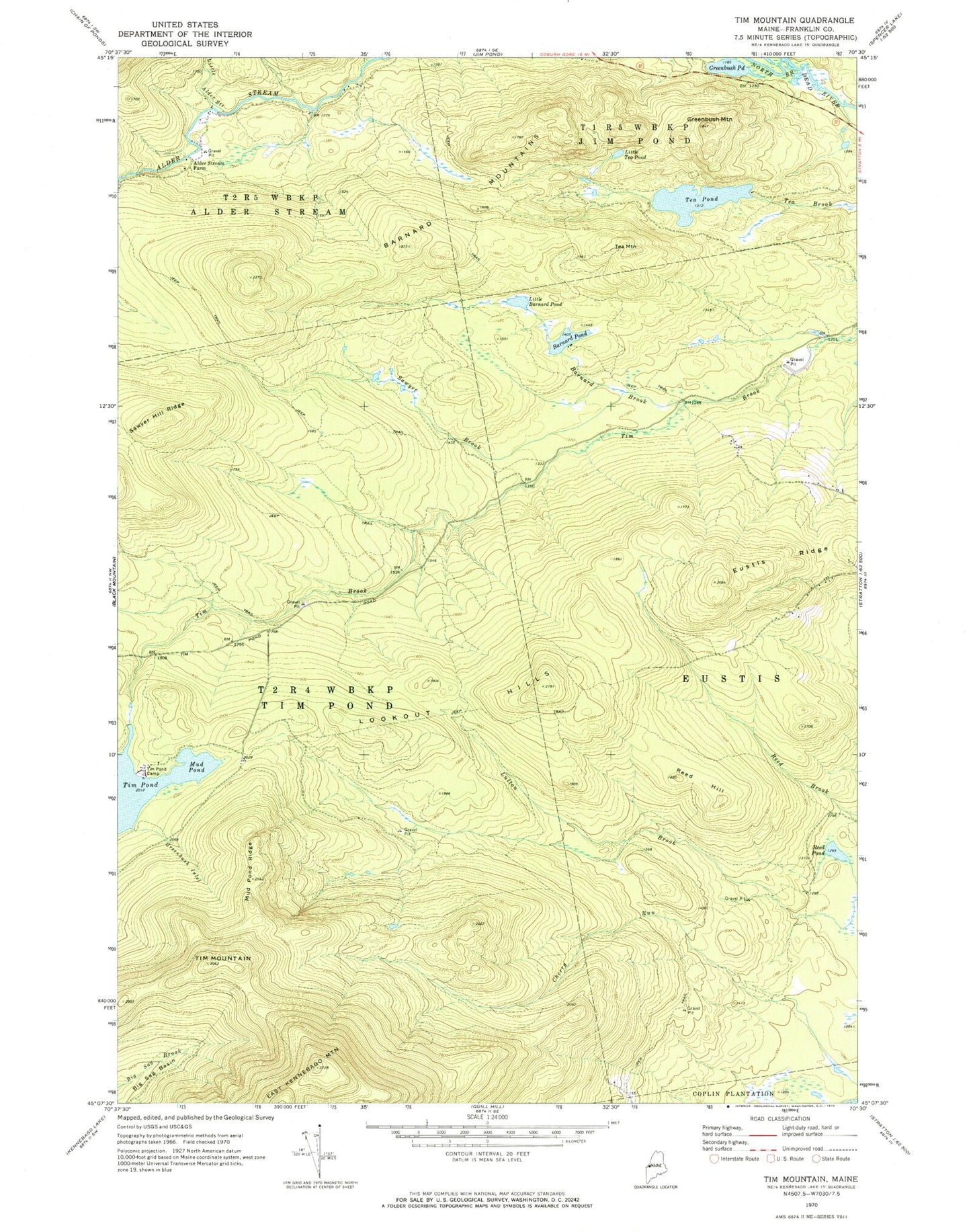
Historical USGS topographic quad map of Tim Mountain in the state of Maine. Typical map scale is 1:24,000, but may vary for certain years, if available. Print size: 24" x 27"
This quadrangle is in the following counties: Franklin.
The map contains contour lines, roads, rivers, towns, and lakes. Printed on high-quality waterproof paper with UV fade-resistant inks, and shipped rolled.
Contains the following named places: Alder Stream Farm, Barnard Brook, Barnard Mountains, Barnard Pond, Greenbush Inlet, Greenbush Mountain, Greenbush Pond, Little Alder Stream, Little Barnard Pond, Little Tea Pond, Lookout Hills, Mud Pond, Mud Pond Ridge, Reed Hill, Reed Pond, Sawyer Brook, Sawyer Hill Ridge, Tea Mountain, Tea Pond, Tim Mountain, Tim Pond Camp, Tim Pond Township