MyTopo
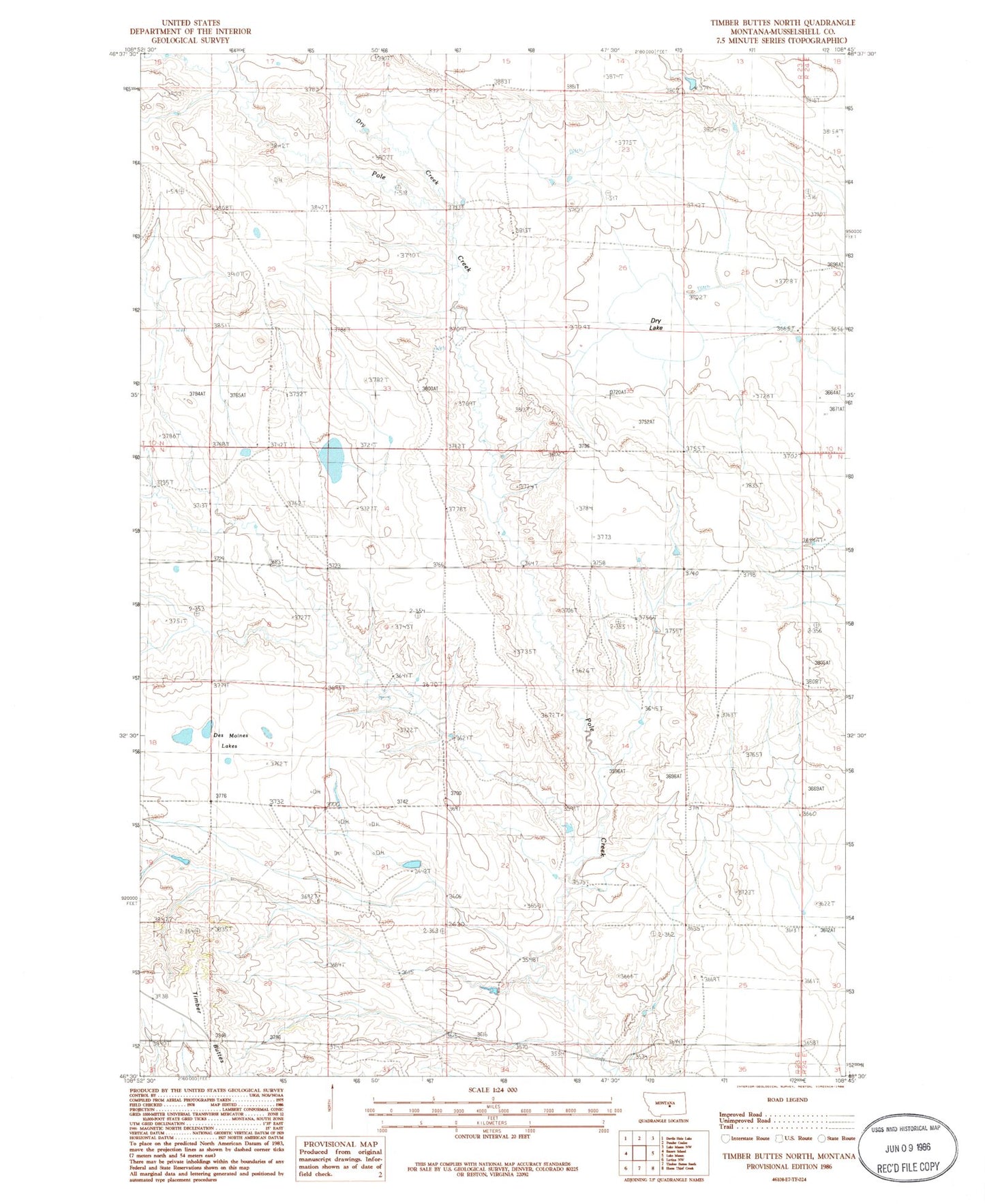
Classic USGS Timber Buttes North Montana 7.5'x7.5' Topo Map
Regular price
$16.95
Regular price
Sale price
$16.95
Unit price
per
Couldn't load pickup availability
Historical USGS topographic quad map of Timber Buttes North in the state of Montana. Map scale may vary for some years, but is generally around 1:24,000. Print size is approximately 24" x 27"
This quadrangle is in the following counties: Musselshell.
The map contains contour lines, roads, rivers, towns, and lakes. Printed on high-quality waterproof paper with UV fade-resistant inks, and shipped rolled.
Contains the following named places: 09N23E17DCB_01 Well, 09N23E17DCB_02 Well, 09N23E21BBC_01 Well, 09N23E32BADC01 Well, 09N31E10DBCD01 Well, 10N23E32C___01 Well, 10N23E33AAC_01 Well, Des Moines Lakes, Dry Creek, Dry Lake, Pony Dam, Wheaton, Wheaton Post Office