MyTopo
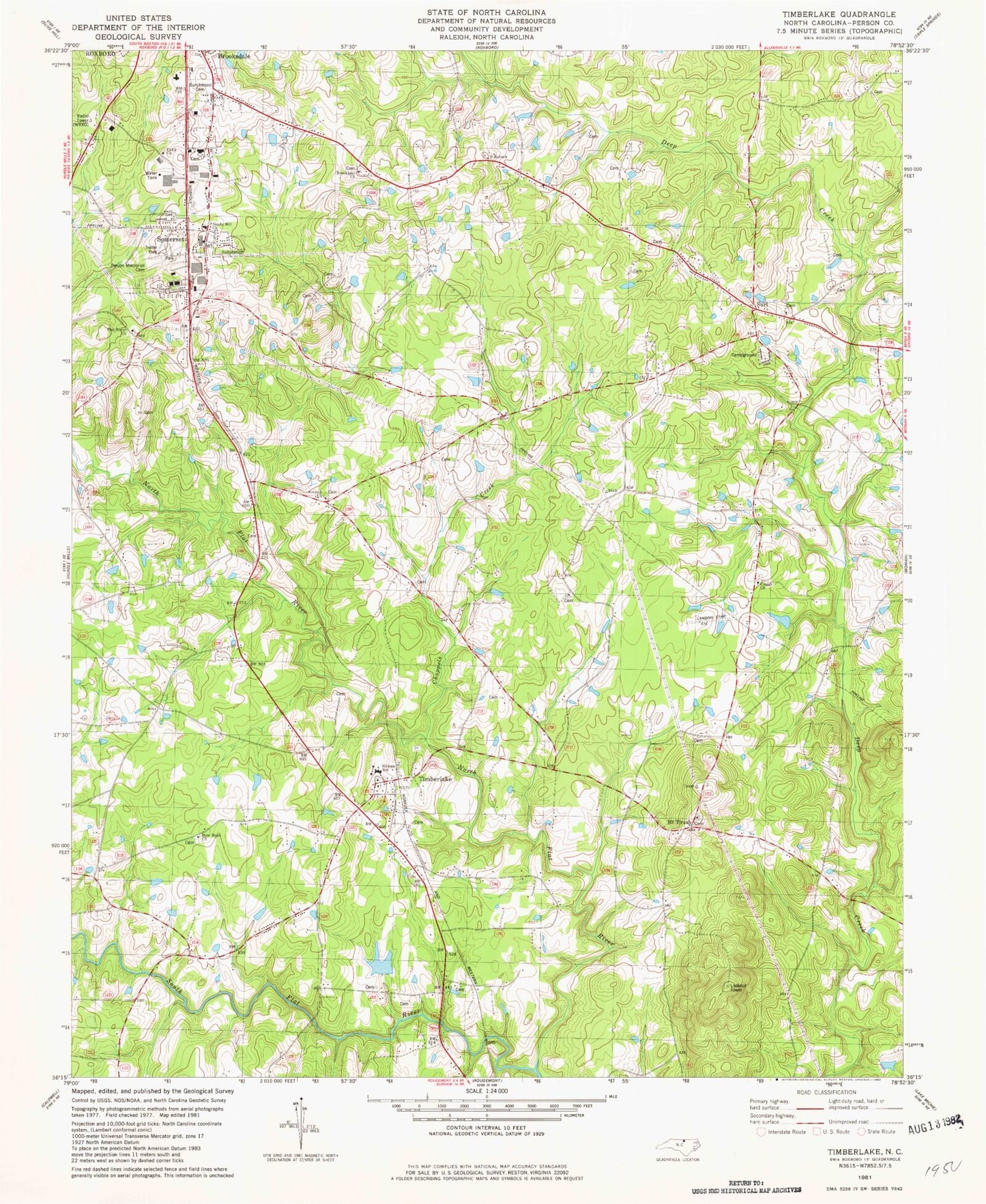
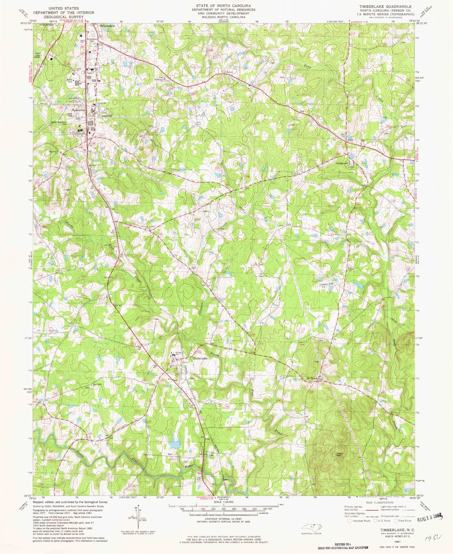
Classic USGS Timberlake North Carolina 7.5'x7.5' Topo Map
Couldn't load pickup availability
Historical USGS topographic quad map of Timberlake in the state of North Carolina. Map scale may vary for some years, but is generally around 1:24,000. Print size is approximately 24" x 27"
This quadrangle is in the following counties: Person.
The map contains contour lines, roads, rivers, towns, and lakes. Printed on high-quality waterproof paper with UV fade-resistant inks, and shipped rolled.
Contains the following named places: Ai, Antioch Baptist Church, Bartons Mill, Brookland Church Cemetery, Brookland United Methodist Church, Brooksdale, Burchwood Cemetery, Cates, Cedar Grove School Number 2, Chappels Creek, Claytons Store, Cleggs Chapel Missionary Baptist Church, Faith Church, Flat River Primitive Baptist Church, Flat River Primitive Baptist Church Cemetery, Glenns Mountain, Greenwood Acres, Helena Primitive Baptist Church, Helena School, Helena United Methodist Church, Horton Pond Dam Number One, Horton Pond Number One, M L Blalock Dam, M L Blalock Lake, Mount Tirzah, Mount Tirzah United Methodist Cemetery, Mount Tirzah United Methodist Church, Mountain School, New Hope Church, New Hope School, North Flat River, Oby Church, Person County Airport, Person County Airport Fire Department, Person Memorial Cemetery, Rock Fork Branch, Roxboro Market Place Shopping Center, Satterfield School, Shady Hill Missionary Baptist Church, Sneeds Mill, Somerset, South Flat River, Surl, Surl Church Cemetery, Surl Primitive Baptist Church, Timberlake, Timberlake Post Office, Timberlake Volunteer Fire Department, Timberlakes Store, Township of Flat River, WKRX-FM (Roxboro), WRXO-AM (Roxboro), ZIP Codes: 27572, 27583


