MyTopo
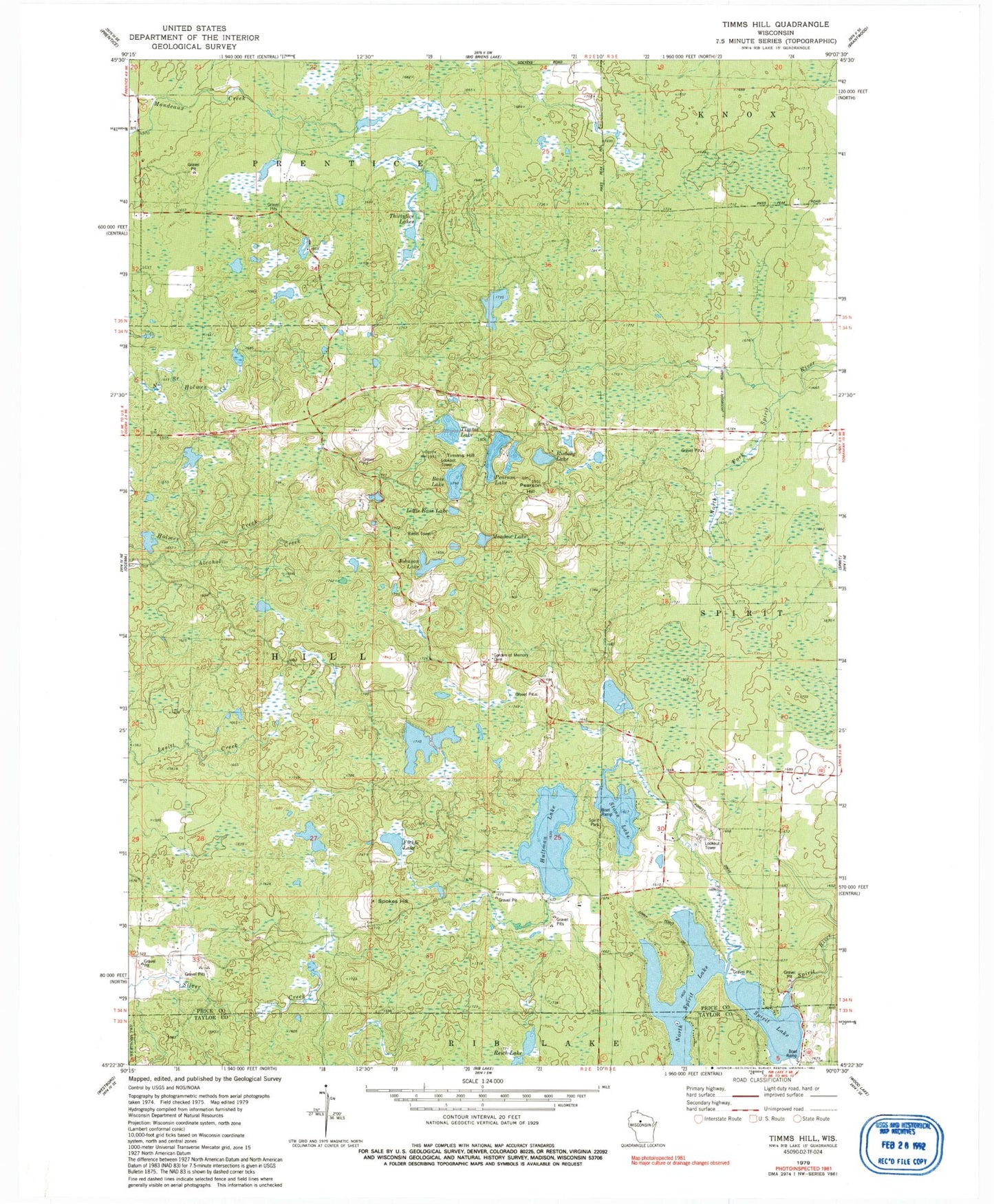
Classic USGS Timms Hill Wisconsin 7.5'x7.5' Topo Map
Couldn't load pickup availability
Historical USGS topographic quad map of Timms Hill in the state of Wisconsin. Typical map scale is 1:24,000, but may vary for certain years, if available. Print size: 24" x 27"
This quadrangle is in the following counties: Price, Taylor.
The map contains contour lines, roads, rivers, towns, and lakes. Printed on high-quality waterproof paper with UV fade-resistant inks, and shipped rolled.
Contains the following named places: Bass Lake, Fickle Lake, Garden of Memory Cemetery, Hultman Lake, Johnson Lake, Little Bass Lake, Meadow Lake, North Spirit Lake, Pearson Hill, Pearson Lake, Reich Lake, Risberg Lake, Spirit Lake, Spirit Park, Spokes Hill, Stone Lake, Thirtyfive Lakes, Timms Hill, Timms Lake, Town of Hill, Kalepp Number 2 3NW79816 Dam, Norlin School (historical), Ogema Fire Tower, Ring School (historical), Stone Lake School (historical), Bergeson Lake


