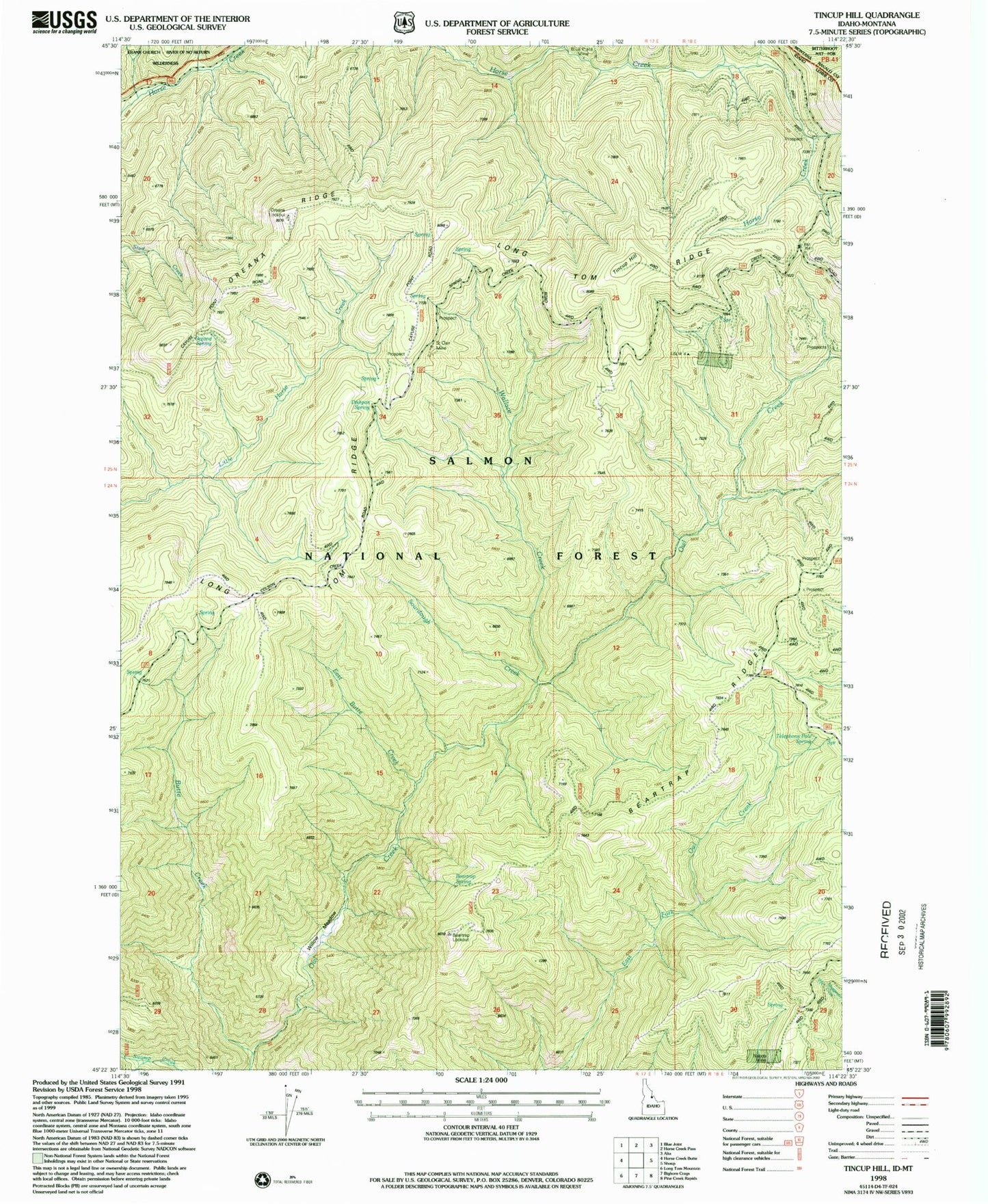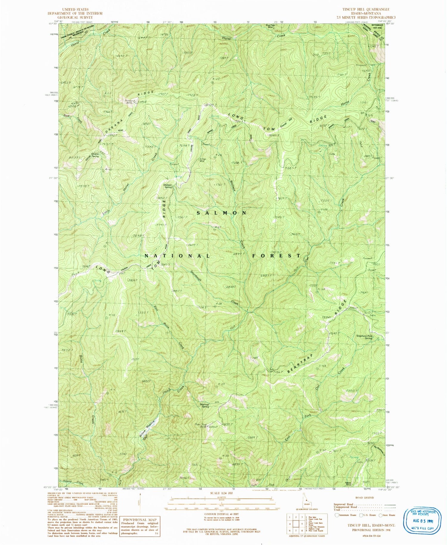
MyTopo
Classic USGS Tincup Hill Idaho 7.5'x7.5' Topo Map
Regular price
$16.95
Regular price
Sale price
$16.95
Unit price
per
Couldn't load pickup availability
Historical USGS topographic quad map of Tincup Hill in the state of Idaho. Typical map scale is 1:24,000, but may vary for certain years, if available. Print size: 24" x 27"
This quadrangle is in the following counties: Lemhi, Ravalli.
The map contains contour lines, roads, rivers, towns, and lakes. Printed on high-quality waterproof paper with UV fade-resistant inks, and shipped rolled.
Contains the following named places: Beartrap Lookout, Beartrap Spring, Blue Plate Mine, Butte Creek, Dishpan Spring, East Butte Creek, Nabob Mine, Oreana Lookout, Oreana Ridge, Oreana Spring, Saint Clair Mine, Sourdough Creek, Telephone Pole Spring, Tincup Hill, Wallace Creek, Willow Meadow, Gibbs Creek