MyTopo
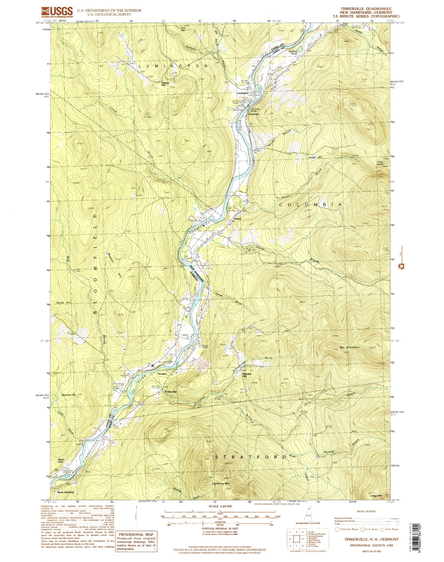
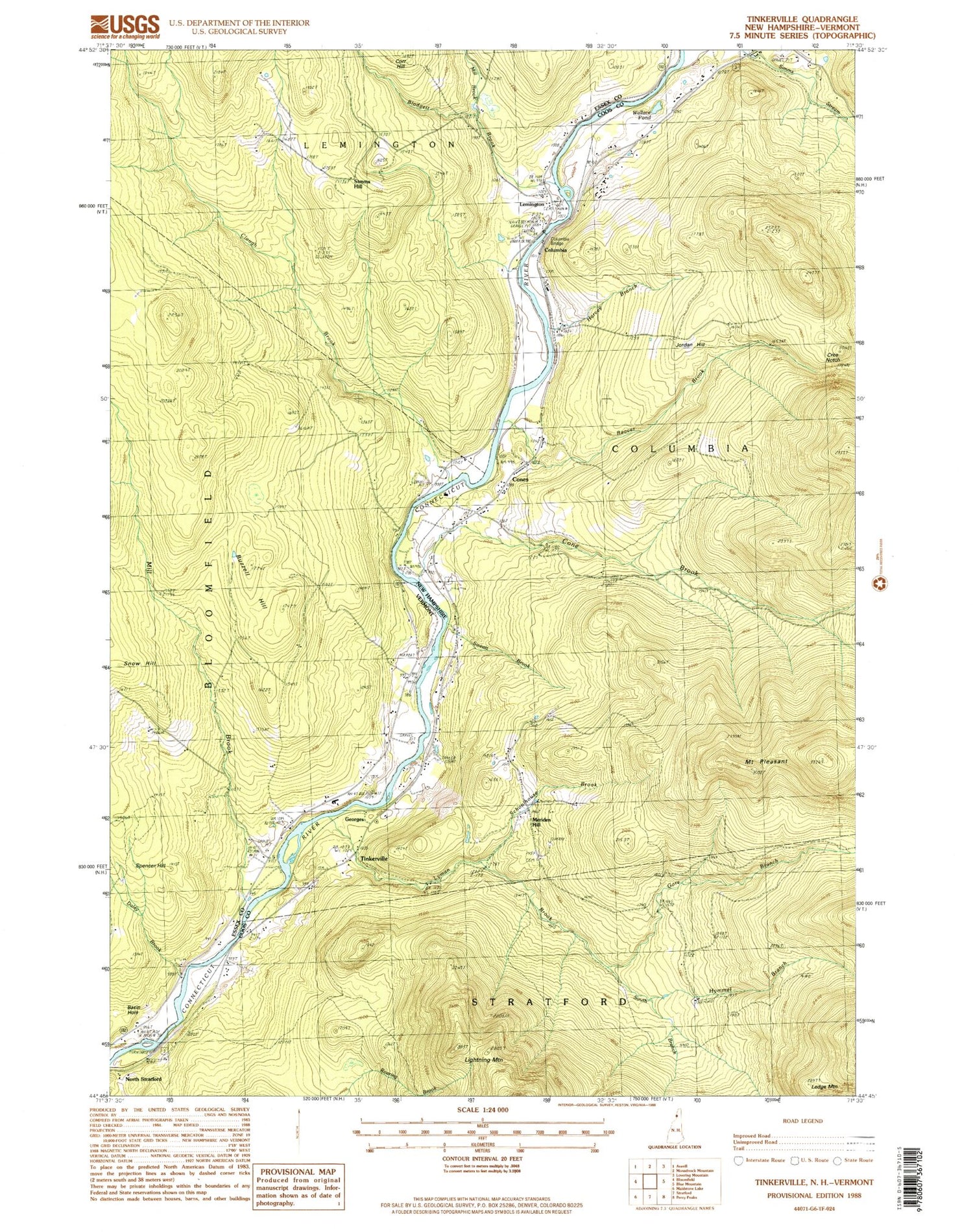
Classic USGS Tinkerville New Hampshire 7.5'x7.5' Topo Map
Couldn't load pickup availability
Historical USGS topographic quad map of Tinkerville in the states of New Hampshire, Vermont. Map scale may vary for some years, but is generally around 1:24,000. Print size is approximately 24" x 27"
This quadrangle is in the following counties: Coos, Essex.
The map contains contour lines, roads, rivers, towns, and lakes. Printed on high-quality waterproof paper with UV fade-resistant inks, and shipped rolled.
Contains the following named places: Basin Hole, Beaver Brook, Blodgett Brook, Blodgett Cemetery, Bloomfield Cemetery, Buzzell Hill, Camp Number 5, Camp Number 6, Clough Brook, Columbia, Columbia Bridge, Cone Brook, Cone School, Cones, Cree Notch, Daley Brook, Georges, Gore Branch, Harvey Brook, Healey Cemetery, Hymmel Branch, Jordan Hill, Ledge Mountain, Lennington, Lightning Mountain, Lyman Brook, Lyman Cemetery, Meriden Hill, Mill Brook, Mount Pleasant, O'Neil Cemetery, Schoolhouse Brook, Simms Hill, Snow Hill, South Branch Lyman Brook, South Columbia School, Sweatt Brook, Tinkerville, Wallace Pond


