MyTopo
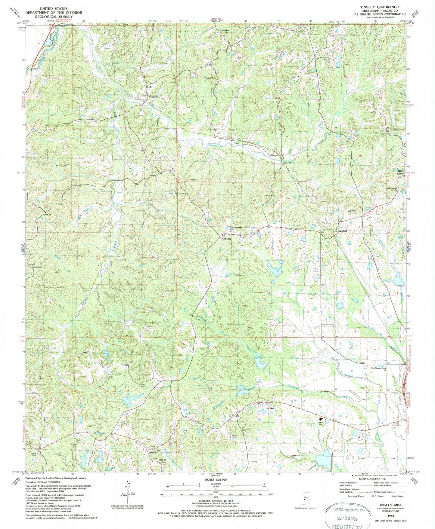
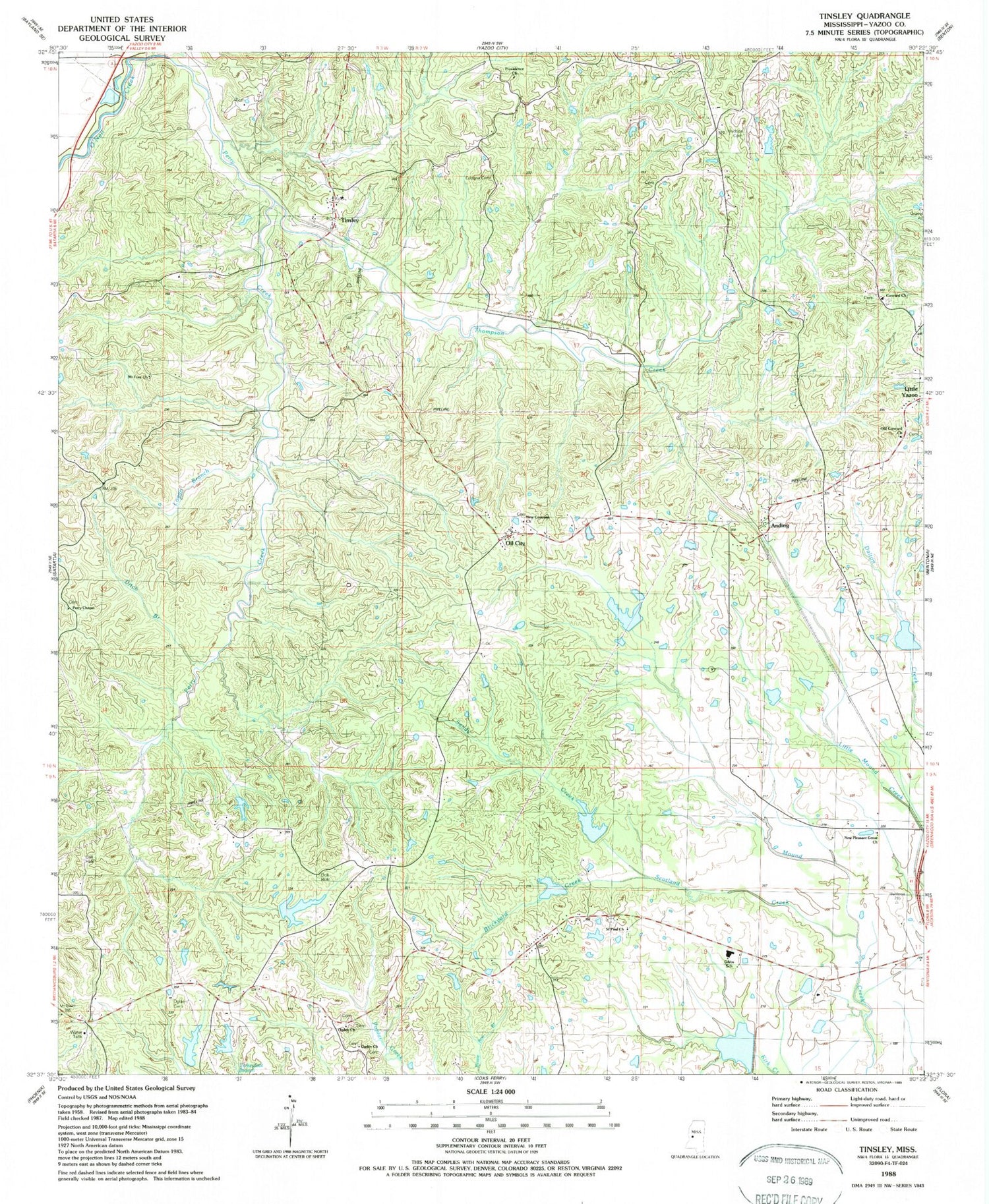
Classic USGS Tinsley Mississippi 7.5'x7.5' Topo Map
Couldn't load pickup availability
Historical USGS topographic quad map of Tinsley in the state of Mississippi. Map scale may vary for some years, but is generally around 1:24,000. Print size is approximately 24" x 27"
This quadrangle is in the following counties: Yazoo.
The map contains contour lines, roads, rivers, towns, and lakes. Printed on high-quality waterproof paper with UV fade-resistant inks, and shipped rolled.
Contains the following named places: Anding, Bentonia Gibbs Elementary School, Bentonia Watershed Structure 1 Dam, Bentonia Watershed Structure 2 Dam, Bentonia Watershed Structure 3 Dam, Bentonia Watershed Structure 4 Dam, Bentonia Watershed Structure 5 Dam, Bentonia Watershed Structure 7 Dam, Bill Link Pond Dam, Brickyard Creek, Cessna Cemetery, Chethams, Concord Church, Ditch Branch, Hudson Cemetery, Lewis School, Logan Branch, Mount Ever Church, New Concord Church, New Pleasant Grove Church, Ogden Cemetery, Ogden Church, Oil City, Old Concord Church, Perry Chapel, Perry Creek, Providence Church, Ralph Fears Lake Dam, Saint Paul Church, Sandy Creek, Scotland Creek, Supervisor District 1, Thompson Creek, Tinsley, Tinsley Baptist Church, Tinsley Oil Field, Tinsley Post Office, V W Landen Pond Dam, Woodbine Plantation, ZIP Code: 39040


