MyTopo
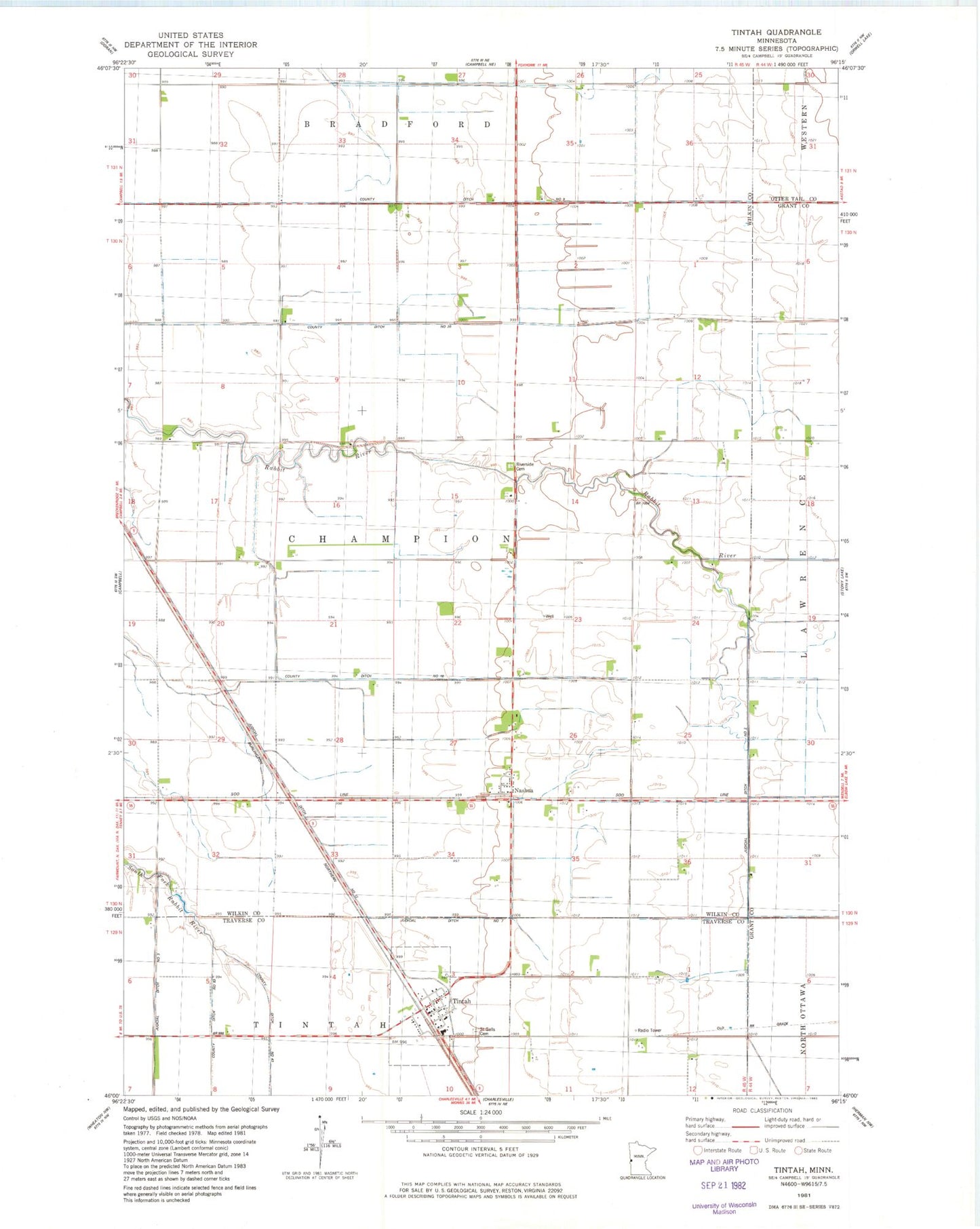
Classic USGS Tintah Minnesota 7.5'x7.5' Topo Map
Couldn't load pickup availability
Historical USGS topographic quad map of Tintah in the state of Minnesota. Map scale may vary for some years, but is generally around 1:24,000. Print size is approximately 24" x 27"
This quadrangle is in the following counties: Grant, Otter Tail, Traverse, Wilkin.
The map contains contour lines, roads, rivers, towns, and lakes. Printed on high-quality waterproof paper with UV fade-resistant inks, and shipped rolled.
Contains the following named places: City of Nashua, City of Tintah, County Ditch Number Eighteen, County Ditch Number Nine, County Ditch Number Twenty, First Congregational Church, Judicial Ditch Number Seven, Judicial Ditch Number Three, Nashua, Nashua Post Office, Riverside Cemetery, Saint Gall's Catholic Church, Saint Galls Cemetery, School Number 10, School Number 7, Tintah, Tintah Fire Department, Tintah Post Office, Township of Champion, Wetenkamp Airport, ZIP Code: 56565