MyTopo
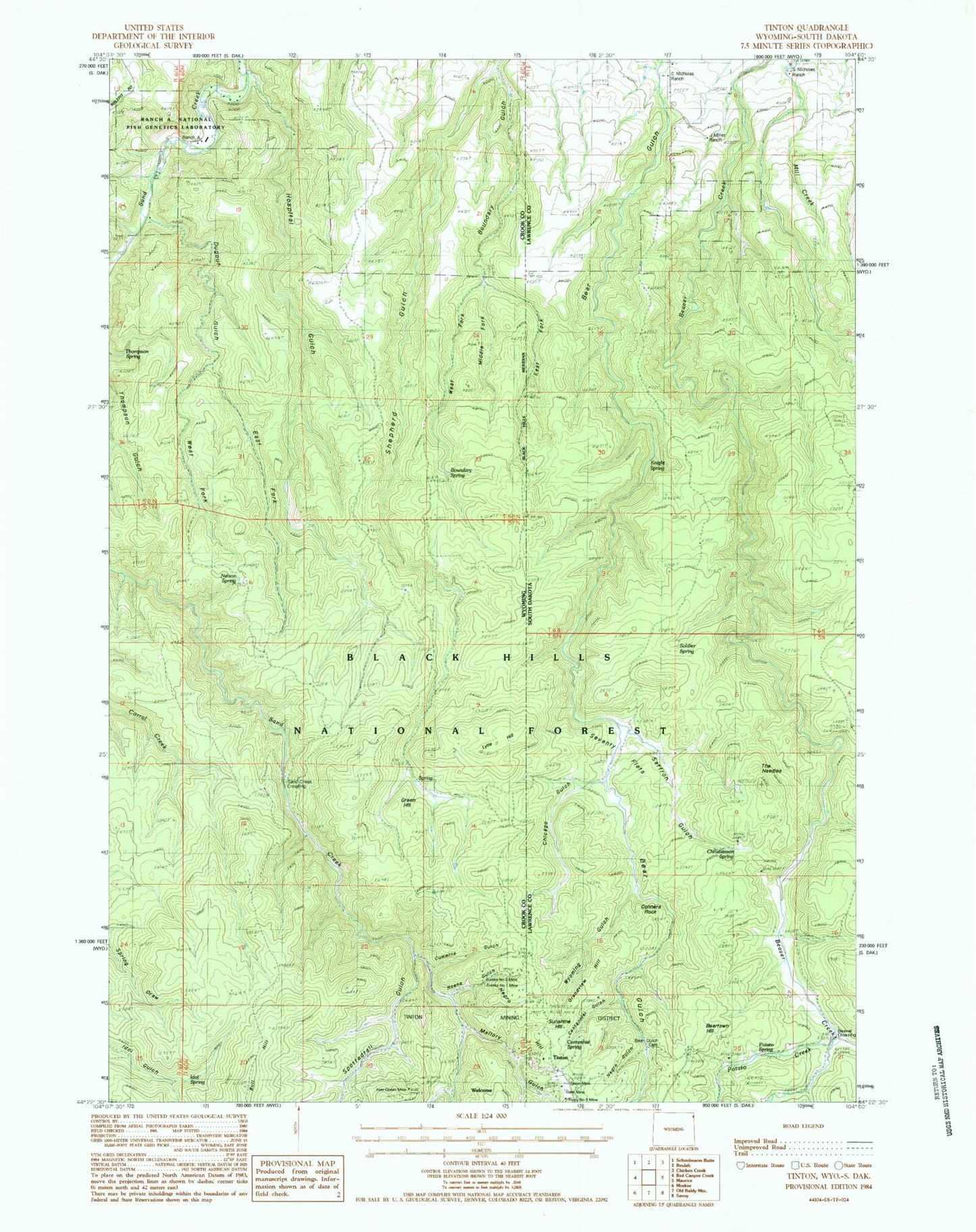
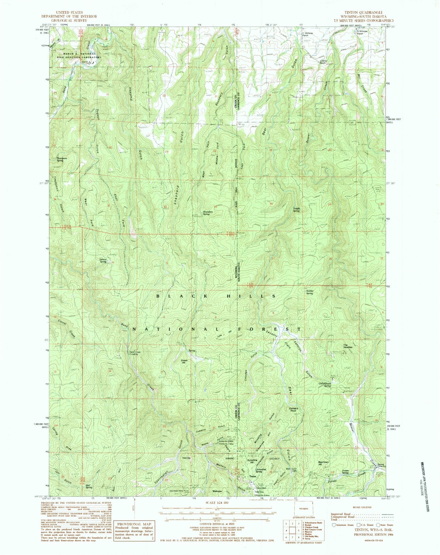
Classic USGS Tinton South Dakota 7.5'x7.5' Topo Map
Couldn't load pickup availability
Historical USGS topographic quad map of Tinton in the states of South Dakota, Wyoming. Typical map scale is 1:24,000, but may vary for certain years, if available. Print size: 24" x 27"
This quadrangle is in the following counties: Crook, Lawrence.
The map contains contour lines, roads, rivers, towns, and lakes. Printed on high-quality waterproof paper with UV fade-resistant inks, and shipped rolled.
Contains the following named places: Bear Gulch Trail, Beartown Hill, Beaver Crossing, Beaver Ridge Trail, C Nicholas Ranch, Centennial Gulch, Centennial Spring, Chicago Gulch, Christianson Spring, Conners Rock, Grandview Hill, Knight Spring, Miller Ranch, Negro Gulch, Negro Hill, Potato Creek, Potato Spring, S Nicholas Ranch, Saffron Gulch, Seventy Flats, Soldiers Spring, Sunshine Hill, The Needles, Wyoming Gulch, Bear Gulch Cemetery, Tinton Mine, Rusty Number 9 Mine, Giant Mine, Bear Gulch I (historical), Tinton, J Miller Ranch, East Fork Boundary Gulch, Mallory Gulch, Boundary Gulch, Boundary Spring, Bull Hill, Cummins Gulch, Dugout Gulch, East Fork Boundary Gulch, East Fork Dugout Gulch, Green Hill, Hospital Gulch, Idol Spring, Lincoln Gulch, Lytle Hill, Mallory Gulch, Middle Fork Boundary Gulch, Nelson Spring, Ranch A, Roena Gulch, Sand Creek Crossing, Spottedtail Gulch, Thompson Spring, West Fork Boundary Gulch, West Fork Dugout Gulch, Eureka Number Mine, Ranch A National Fish Genetics Laboratory, Apex Mine, Bull Hill Mine, Bear Gulch Placer Mine


