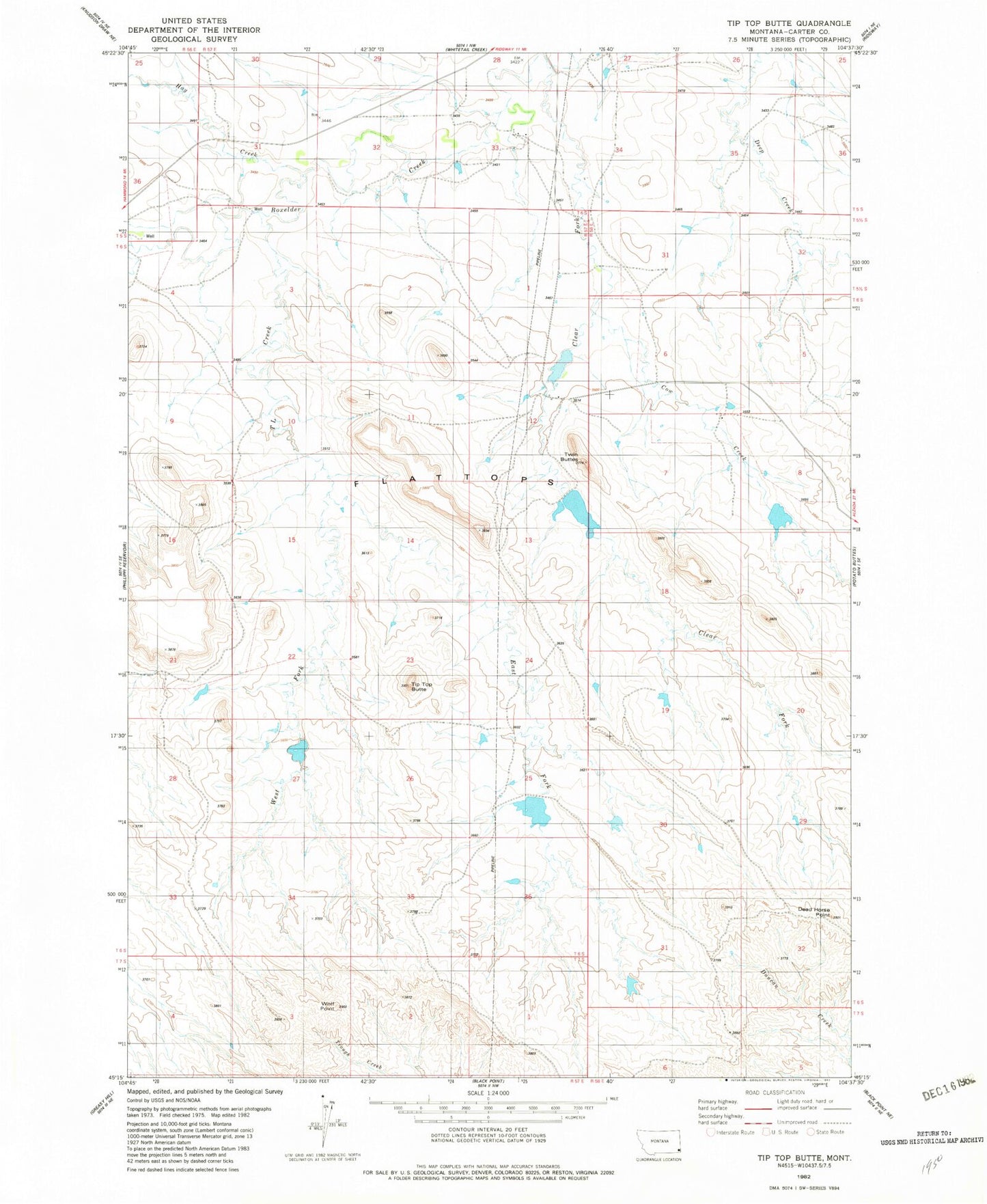
MyTopo
Classic USGS Tip Top Butte Montana 7.5'x7.5' Topo Map
Couldn't load pickup availability
Historical USGS topographic quad map of Tip Top Butte in the state of Montana. Map scale may vary for some years, but is generally around 1:24,000. Print size is approximately 24" x 27"
This quadrangle is in the following counties: Carter.
The map contains contour lines, roads, rivers, towns, and lakes. Printed on high-quality waterproof paper with UV fade-resistant inks, and shipped rolled.
Contains the following named places: 05S57E31AB__01 Well, Burch Dam, Clear Fork, Climax Post Office, Climax School, Cow Creek, Dead Horse Point, East Fork T L Creek, Flattops, Hay Creek, Helen B Dam, Helen B Dent Dam, Lost Calf Detention Dam, Square Butte Reservoir Dam, T L Creek, Tip Top Butte, Traucks Dam, Twin Buttes, West Fork T L Creek, Wolf Point