MyTopo
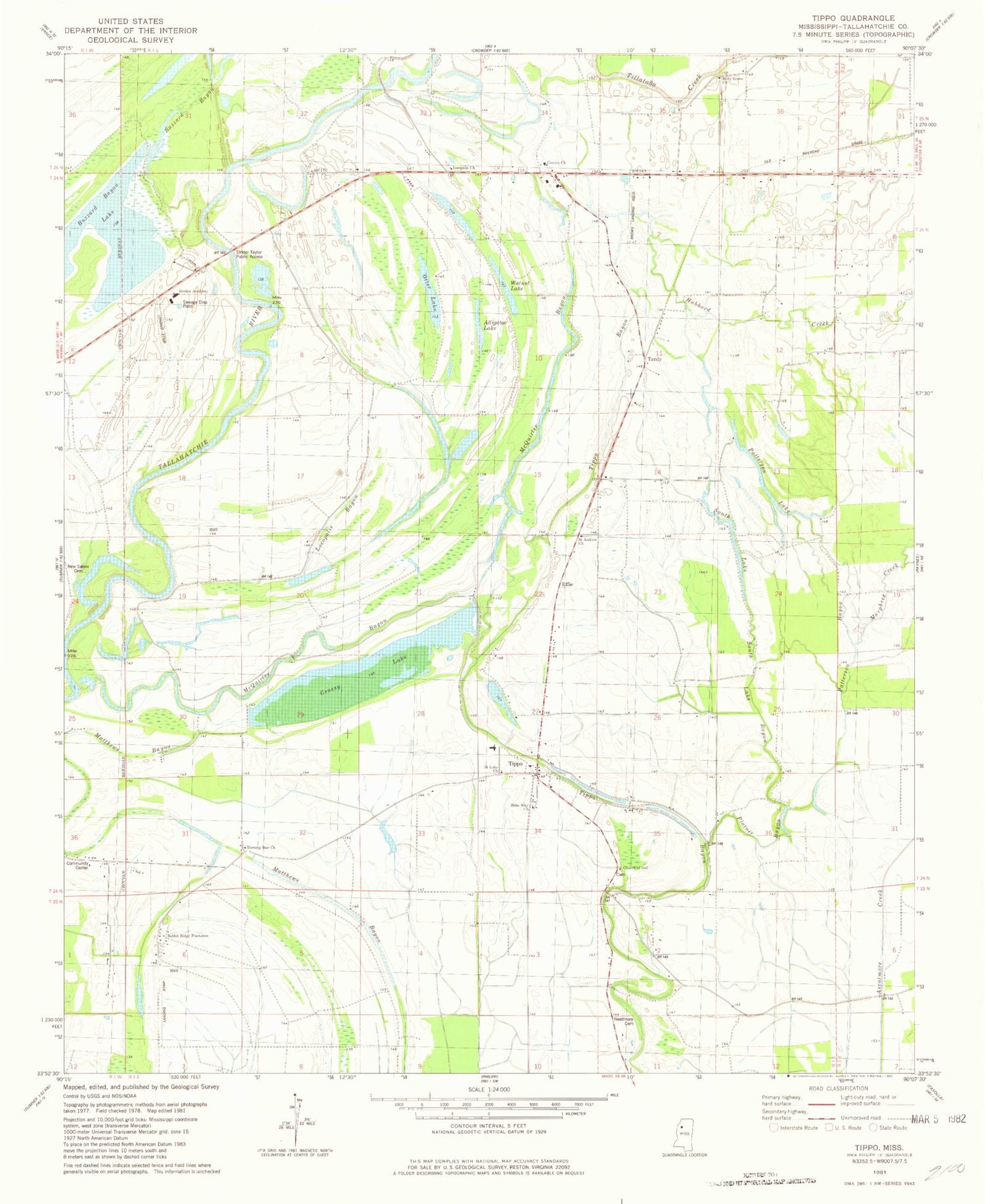
Classic USGS Tippo Mississippi 7.5'x7.5' Topo Map
Couldn't load pickup availability
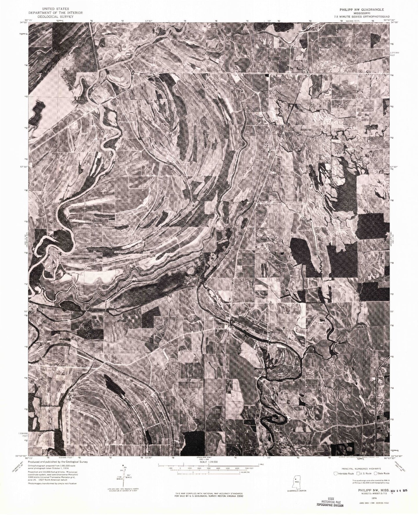
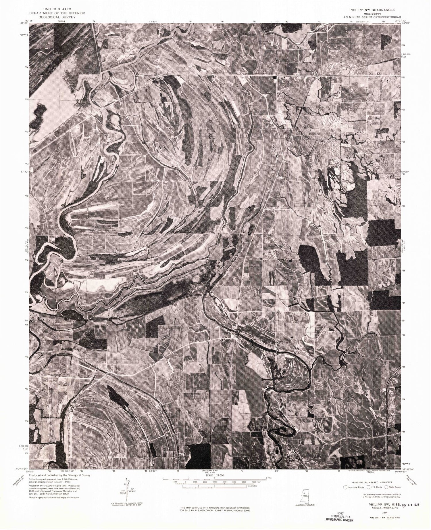
Historical USGS topographic quad map of Tippo in the state of Mississippi. Map scale may vary for some years, but is generally around 1:24,000. Print size is approximately 24" x 27"
This quadrangle is in the following counties: Tallahatchie.
The map contains contour lines, roads, rivers, towns, and lakes. Printed on high-quality waterproof paper with UV fade-resistant inks, and shipped rolled.
Contains the following named places: Alligator Lake, Bible Way Church, Brown's Airport, Buzzard Bayou, Cowart, Cowart Church, Effie, Grassy Lake, Grassy Lake Cut-Off, Holly Grove Church, Hubbard Creek, Jarman Ferry, Jarman Landing, Locopolis, Locopolis Bayou, Locopolis Church, Locopolis Cut-Off, Locopolis Landing, Mark Simmons Lake Dam, McQuirter Bayou, Morning Star Church, Murphree Creek, Murphy Brothers Lake Dam, Needmore, Needmore Cemetery, New Salem Cemetery, New Salem Church, Opossum Bayou Cut-Off, Otter Lake, Patterson Bayou, Patterson Lake, Pilgrim Rest Church, Platner Bayou, Rabbit Ridge Plantation, Saint Andrew Church, Saint Luke Church, South Lake, South Lake Bayou, Strider Academy, Strider-Taylor Public Access Area, Tallahatchie County, Tandy, Tillatoba Cut-Off, Tippo, Tippo Elementary School, Tippo Post Office, Walnut Lake, ZIP Code: 38921