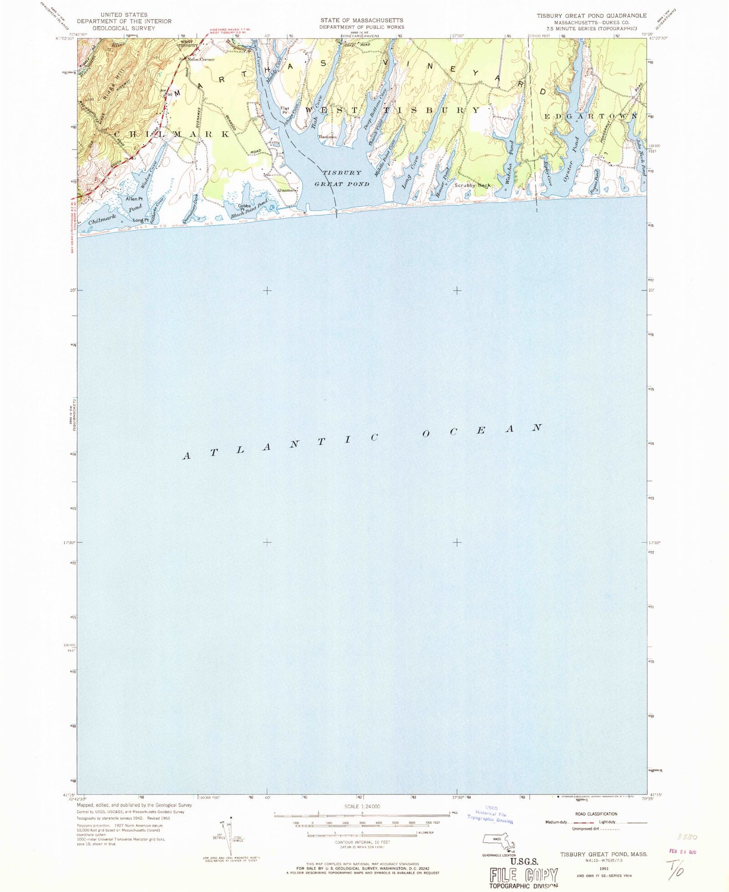
MyTopo
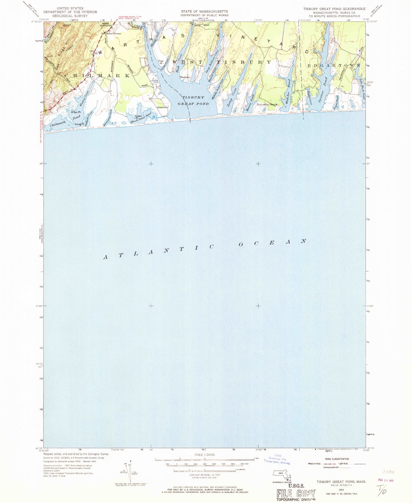
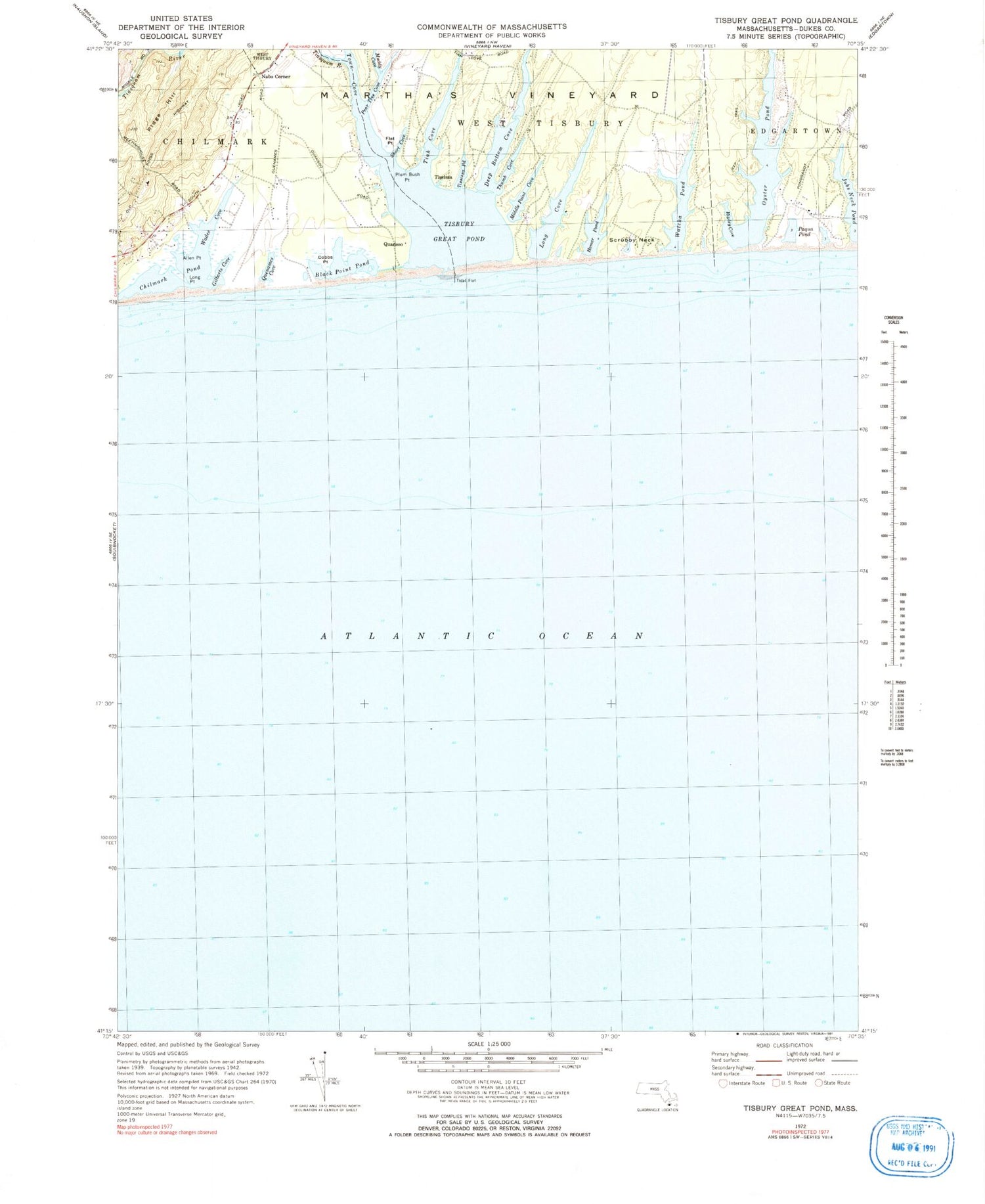
Classic USGS Tisbury Great Pond Massachusetts 7.5'x7.5' Topo Map
Couldn't load pickup availability
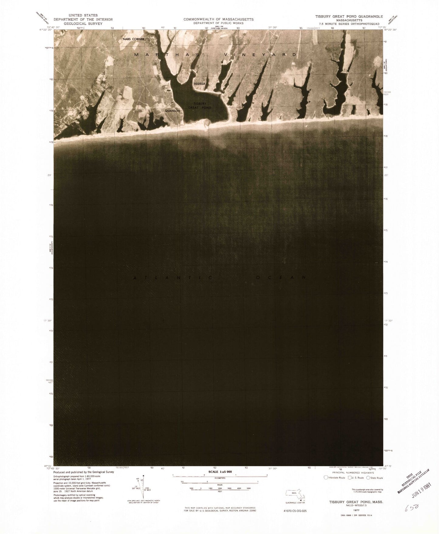
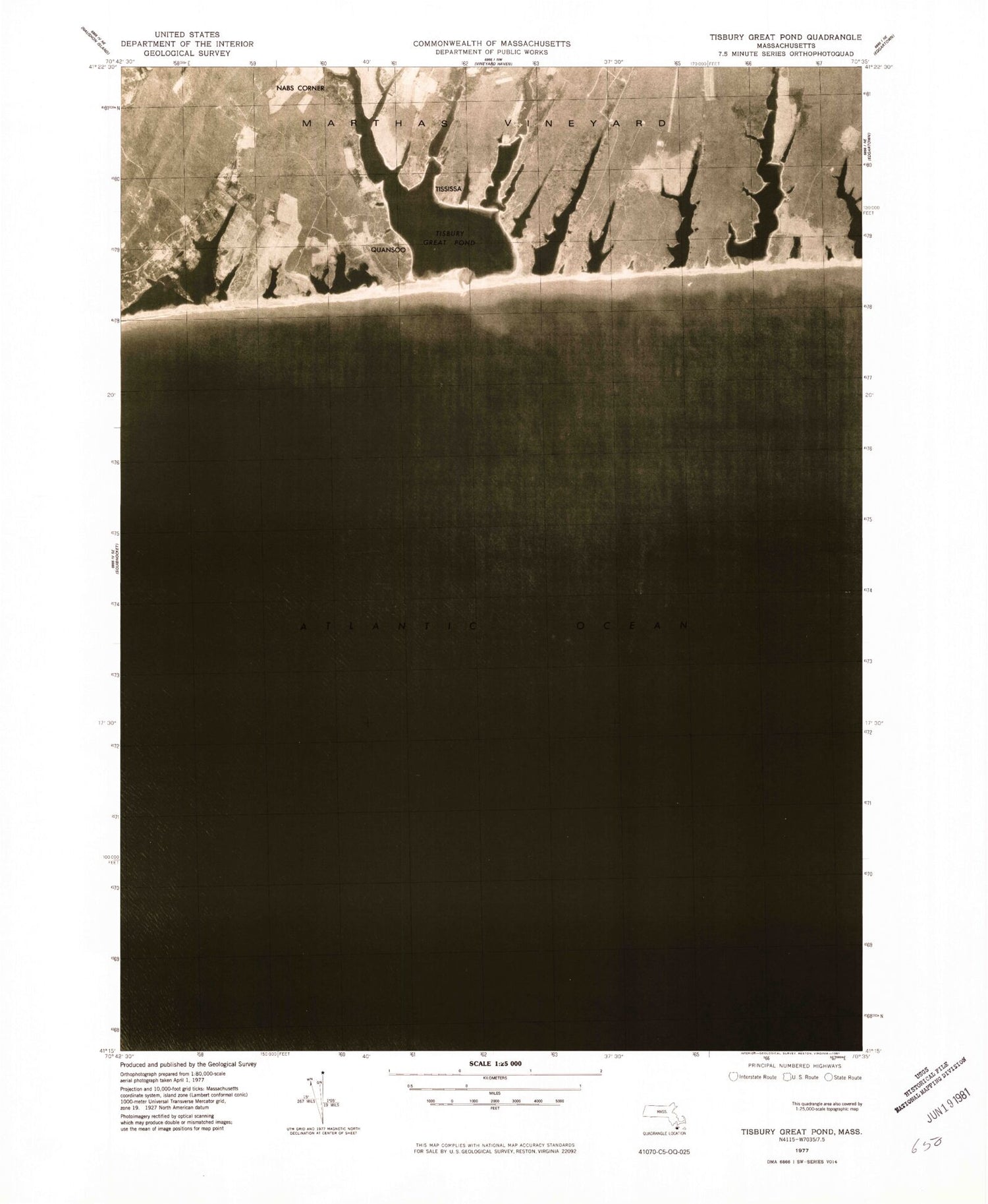
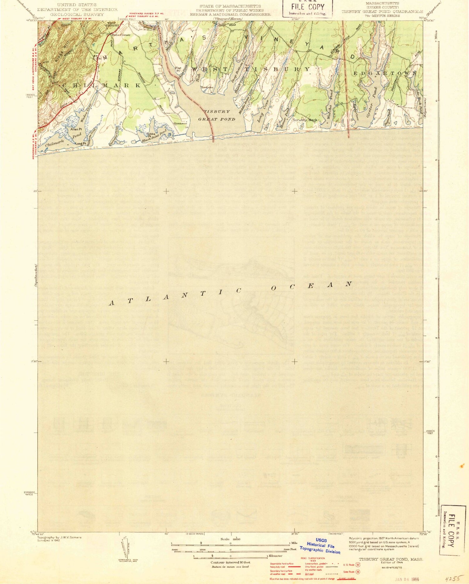
Historical USGS topographic quad map of Tisbury Great Pond in the state of Massachusetts. Map scale may vary for some years, but is generally around 1:24,000. Print size is approximately 24" x 27"
This quadrangle is in the following counties: Dukes.
The map contains contour lines, roads, rivers, towns, and lakes. Printed on high-quality waterproof paper with UV fade-resistant inks, and shipped rolled.
Contains the following named places: Allen Point, Black Point Pond, Chilmark Pond, Cobbs Point, Deep Bottom Cove, Flat Point, Fresh Pond, Gilberts Cove, Homer Pond, Jobs Neck Pond, Long Cove, Long Point, Long Point Wildlife Refuge, Middle Point Cove, Muddy Cove, Nabs Corner, Oyster Pond, Paqua Pond, Pear Tree Cove, Plum Bush Point, Quansoo, Quenames Cove, Quinnames, Ridge Hill, Ripley Cove, Scrubby Neck, Short Cove, Thumb Cove, Tiah Cove, Tiasquam River, Tisbury Great Pond, Tississa, Tississa Pond, Town Cove, Wades Cove, Waldron Bottom, Watcha Pond, Willow Tree Bottom