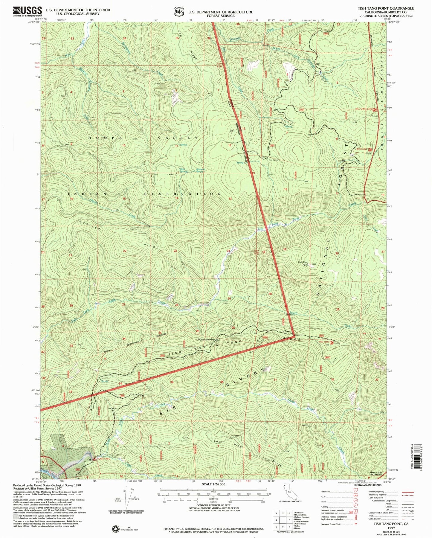
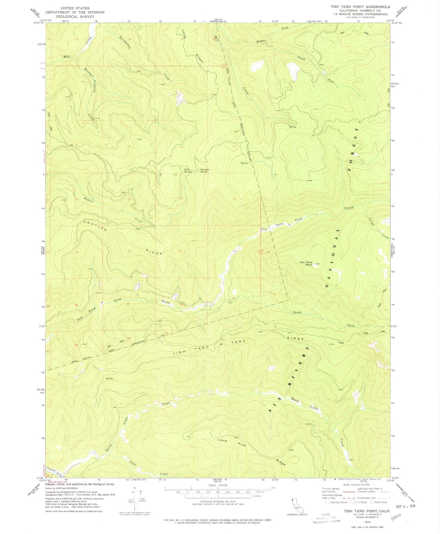
MyTopo
Classic USGS Tish Tang Point California 7.5'x7.5' Topo Map
Regular price
$16.95
Regular price
Sale price
$16.95
Unit price
per
Couldn't load pickup availability
Historical USGS topographic quad map of Tish Tang Point in the state of California. Map scale may vary for some years, but is generally around 1:24,000. Print size is approximately 24" x 27"
This quadrangle is in the following counties: Humboldt.
The map contains contour lines, roads, rivers, towns, and lakes. Printed on high-quality waterproof paper with UV fade-resistant inks, and shipped rolled.
Contains the following named places: Bowman Spring, Cedar Creek, Corral Creek, Domingo Creek, Horse Linto Creek, Hostler Ridge, Long Ridge, Marshall Crossing Creek, Mud Springs, South Fork Domingo Creek, South Fork Tish Tang a Tang Creek, Tish Tang Point