MyTopo
Classic USGS Titusville SW Florida 7.5'x7.5' Topo Map
Regular price
$16.95
Regular price
Sale price
$16.95
Unit price
per
Couldn't load pickup availability
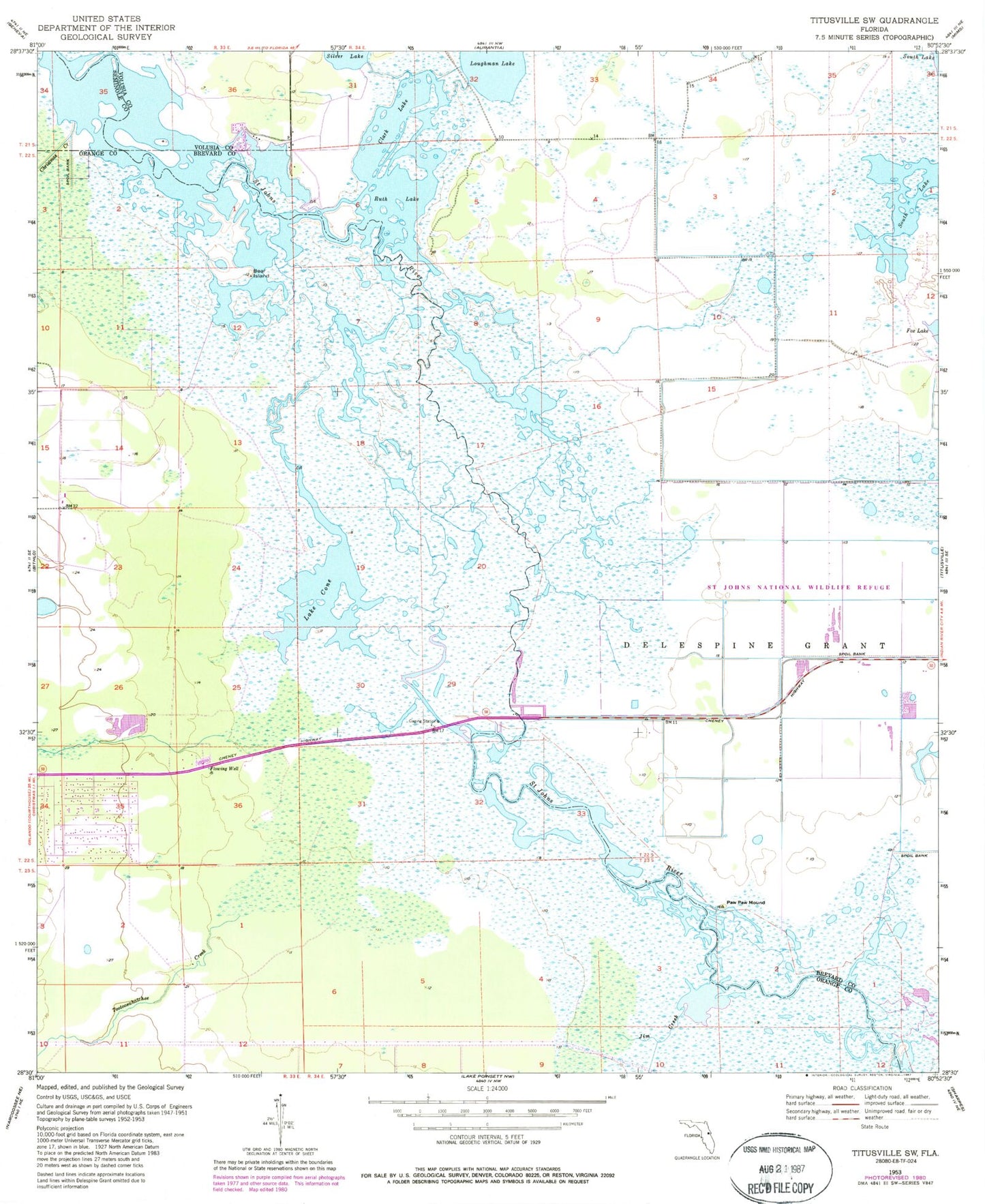
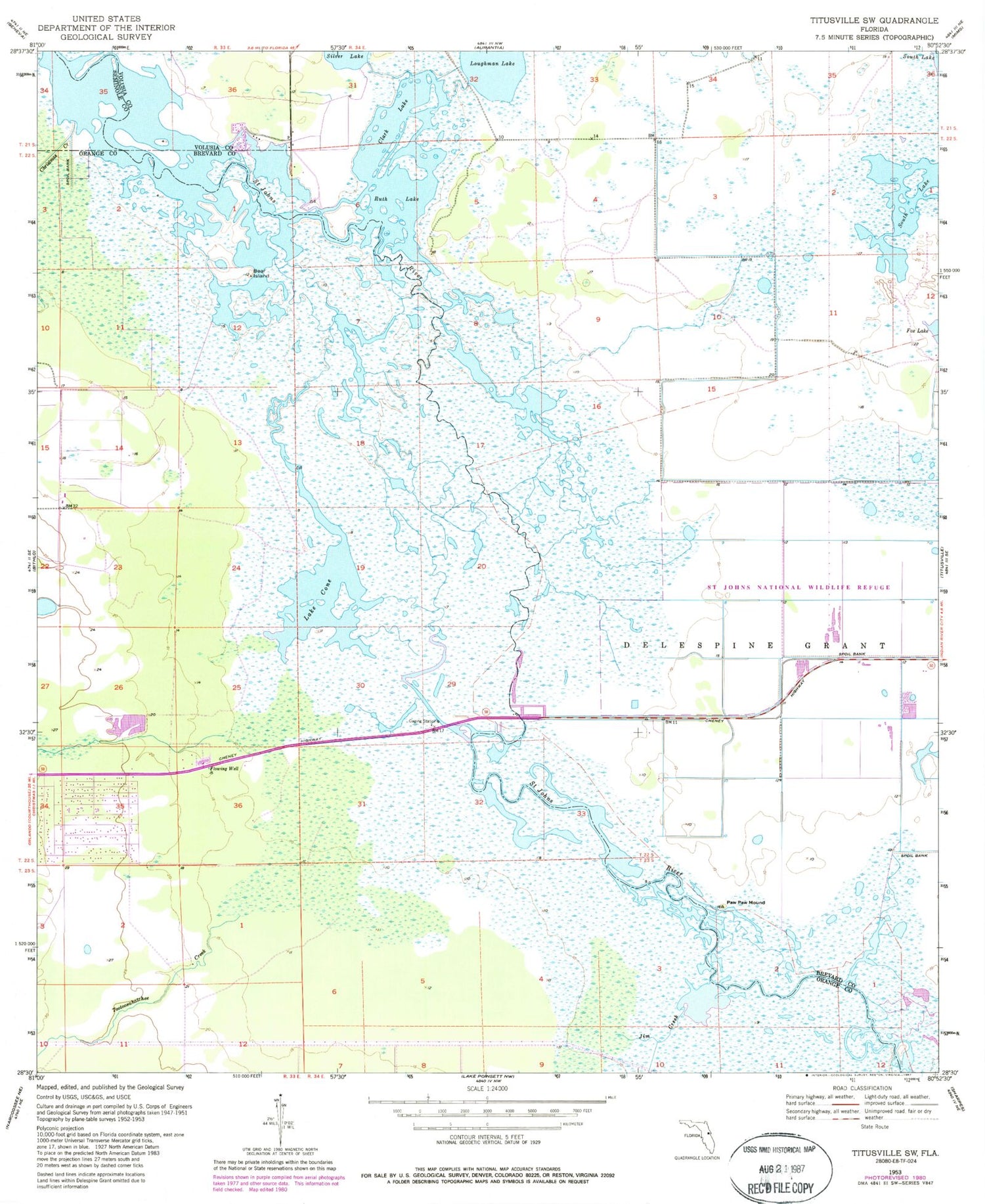
Historical USGS topographic quad map of Titusville SW in the state of Florida. Typical map scale is 1:24,000, but may vary for certain years, if available. Print size: 24" x 27"
This quadrangle is in the following counties: Brevard, Orange, Seminole, Volusia.
The map contains contour lines, roads, rivers, towns, and lakes. Printed on high-quality waterproof paper with UV fade-resistant inks, and shipped rolled.
Contains the following named places: Bear Island, Buscombe Creek, Christmas Creek, Jim Creek, Paw Paw Mound, Tootoosahatchee Creek, Clark Lake, Lake Cone, Ruth Lake, Northway Plaza, Neat Creek, Hatbill Park, Saint Johns National Wildlife Refuge, WORL-AM (Christmas), Lorelei Swamp