MyTopo
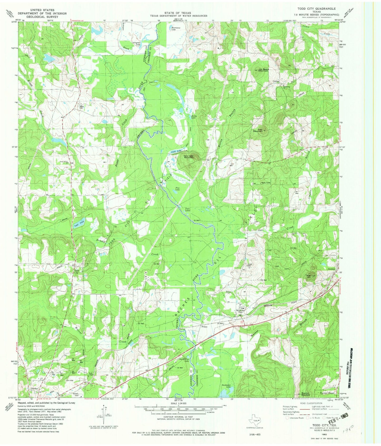
Classic USGS Todd City Texas 7.5'x7.5' Topo Map
Couldn't load pickup availability
Historical USGS topographic quad map of Todd City in the state of Texas. Map scale may vary for some years, but is generally around 1:24,000. Print size is approximately 24" x 27"
This quadrangle is in the following counties: Anderson, Cherokee.
The map contains contour lines, roads, rivers, towns, and lakes. Printed on high-quality waterproof paper with UV fade-resistant inks, and shipped rolled.
Contains the following named places: Alligator Lake, Boggy Creek, Bowman Mountain, Brisby Chapel, Brushy Creek, Cary Lake, Cary Lake Mountain, Cherry Tree Lake, Clemons School, Corine, Corine School, Earls Chapel, Gray Mountain, Greens Chapel School, Henry Lake, Hollywood School, Hurricane Lake, Jim Beard Mountain, Kickapoo Branch, Miller Cemetery, Neches Gas Plant, Neches Oil Field, Neches River National Wildlife Refuge, Owl Creek, Pierces Chapel, Pine Lake, Prices, Simpson Branch, Tater Hill, Todd City, Todd City Oil Field, Todd Pond, Twin Lakes, Walnut Creek, Worley Branch


