MyTopo
Classic USGS Todd Lakes NE Montana 7.5'x7.5' Topo Map
Couldn't load pickup availability
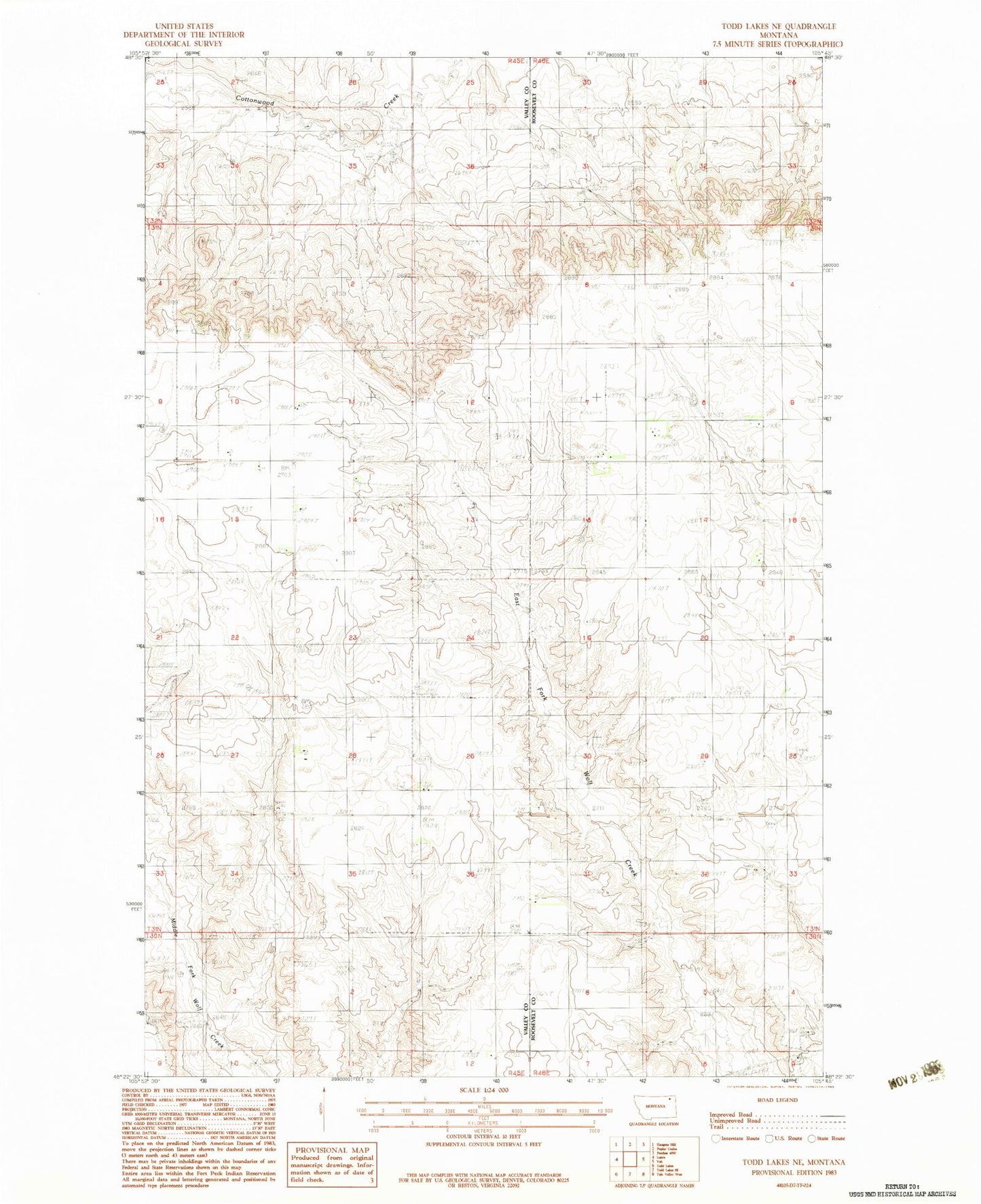
Historical USGS topographic quad map of Todd Lakes NE in the state of Montana. Map scale may vary for some years, but is generally around 1:24,000. Print size is approximately 24" x 27"
This quadrangle is in the following counties: Roosevelt, Valley.
The map contains contour lines, roads, rivers, towns, and lakes. Printed on high-quality waterproof paper with UV fade-resistant inks, and shipped rolled.
Contains the following named places: 30N45E03CCBA01 Well, 31N45E14ABCB01 Well, 31N45E15ABAA01 Well, 31N45E15DDAB01 Well, 31N45E23AA__01 Well, 31N45E25CCAB01 Well, 31N45E36BCBB01 Well, 31N46E05BCAD01 Spring, 31N46E08CBCC01 Well, 31N46E18ABBA01 Well, Dier School, Liberty School, Pleasant View School, Progressive School, Unrau Airport