MyTopo
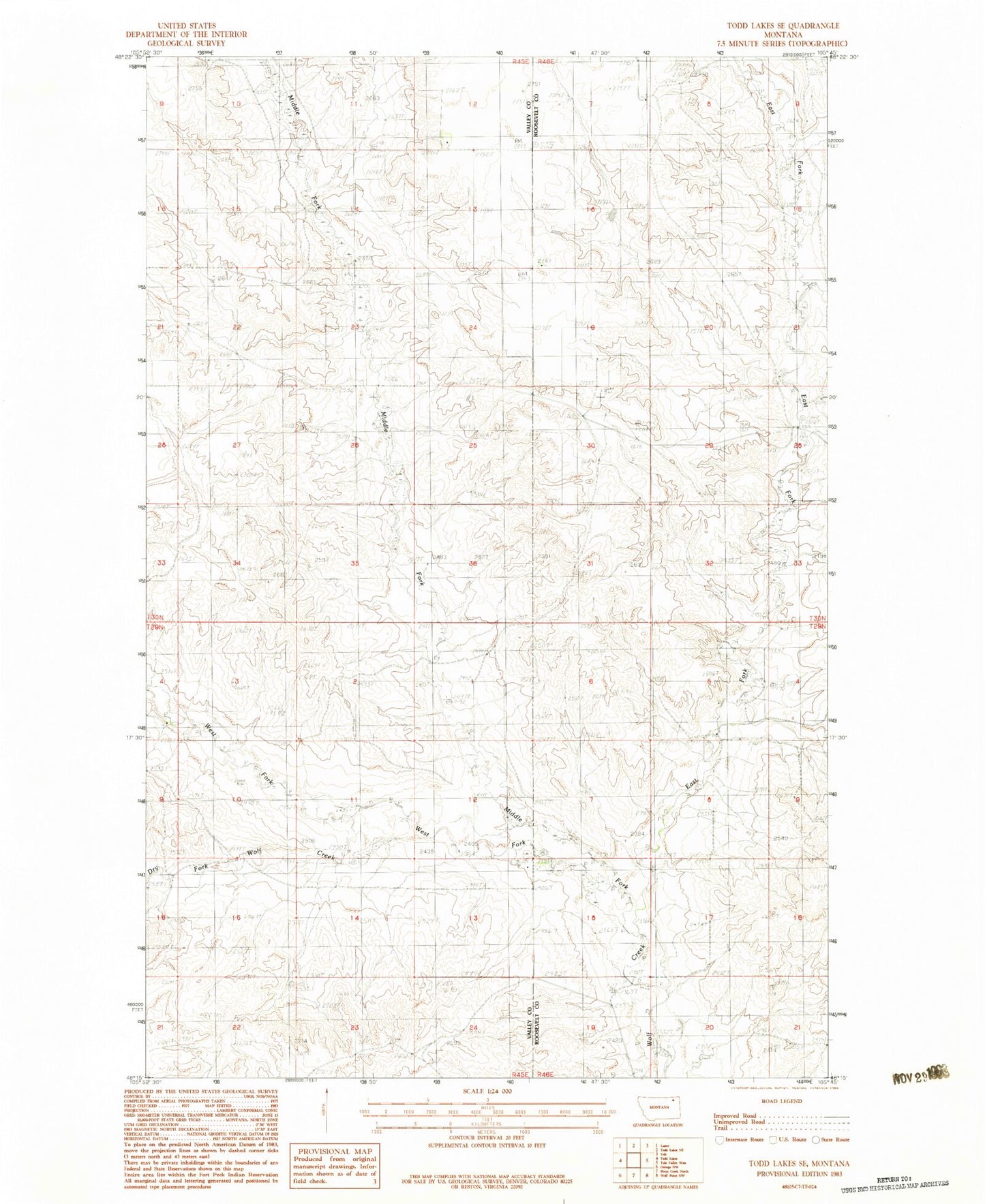
Classic USGS Todd Lakes SE Montana 7.5'x7.5' Topo Map
Couldn't load pickup availability
Historical USGS topographic quad map of Todd Lakes SE in the state of Montana. Map scale may vary for some years, but is generally around 1:24,000. Print size is approximately 24" x 27"
This quadrangle is in the following counties: Roosevelt, Valley.
The map contains contour lines, roads, rivers, towns, and lakes. Printed on high-quality waterproof paper with UV fade-resistant inks, and shipped rolled.
Contains the following named places: 29N45E15CDBA01 Well, 29N45E23CADA01 Well, 29N46E05DCCD01 Well, 29N46E08ABBB01 Well, 29N46E08ABBD01 Well, 30N45E24AD__01 Well, 30N45E25BAAC01 Well, 30N45E25BADA01 Well, Dry Fork Wolf Creek, East Fork Wolf Creek, Middle Fork Wolf Creek, Roosevelt School, West Fork Wolf Creek