
MyTopo
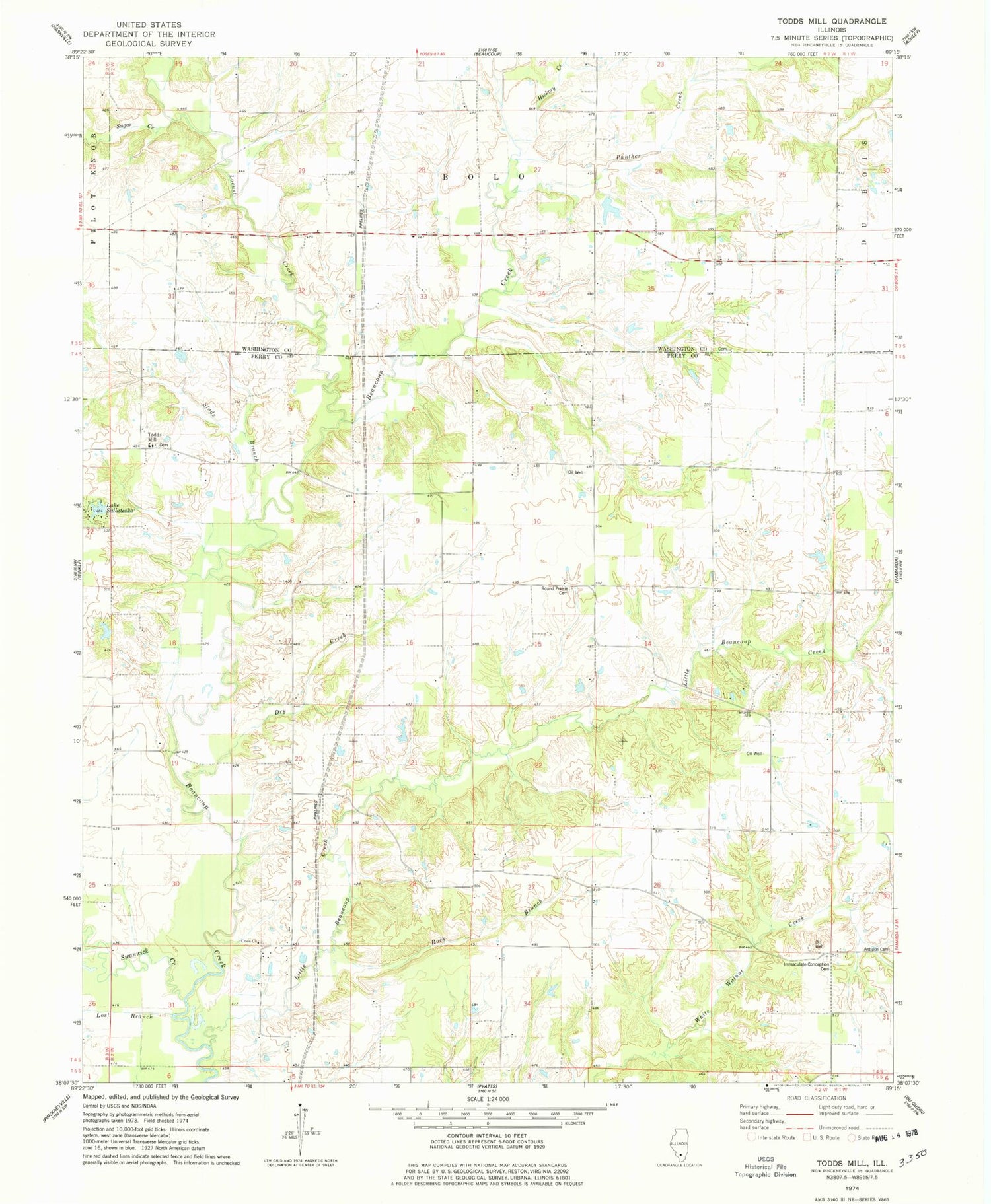
Classic USGS Todds Mill Illinois 7.5'x7.5' Topo Map
Couldn't load pickup availability
Historical USGS topographic quad map of Todds Mill in the state of Illinois. Map scale may vary for some years, but is generally around 1:24,000. Print size is approximately 24" x 27"
This quadrangle is in the following counties: Perry, Washington.
The map contains contour lines, roads, rivers, towns, and lakes. Printed on high-quality waterproof paper with UV fade-resistant inks, and shipped rolled.
Contains the following named places: Antioch Cemetery, Beaucoup Election Precinct, Carr School, Cross Church, Cross School, Dry Creek, Hickory Creek, Immaculate Conception Cemetery, Lake Sallateska, Little Beaucoup Creek, Locust Creek, Lost Branch, Myers School, Panther Creek, Rock Branch, Round Prairie Cemetery, Round Prairie School, Saint Mary Magdalen Cemetery, Saint Marys School, Slade Branch, Sugar Creek, Swanwick Creek, Tamaroa Number 2 Election Precinct, Todds Mill, Turkey Bend School, White Walnut School


