MyTopo
Classic USGS Tolar New Mexico 7.5'x7.5' Topo Map
Regular price
$16.95
Regular price
Sale price
$16.95
Unit price
per
Couldn't load pickup availability
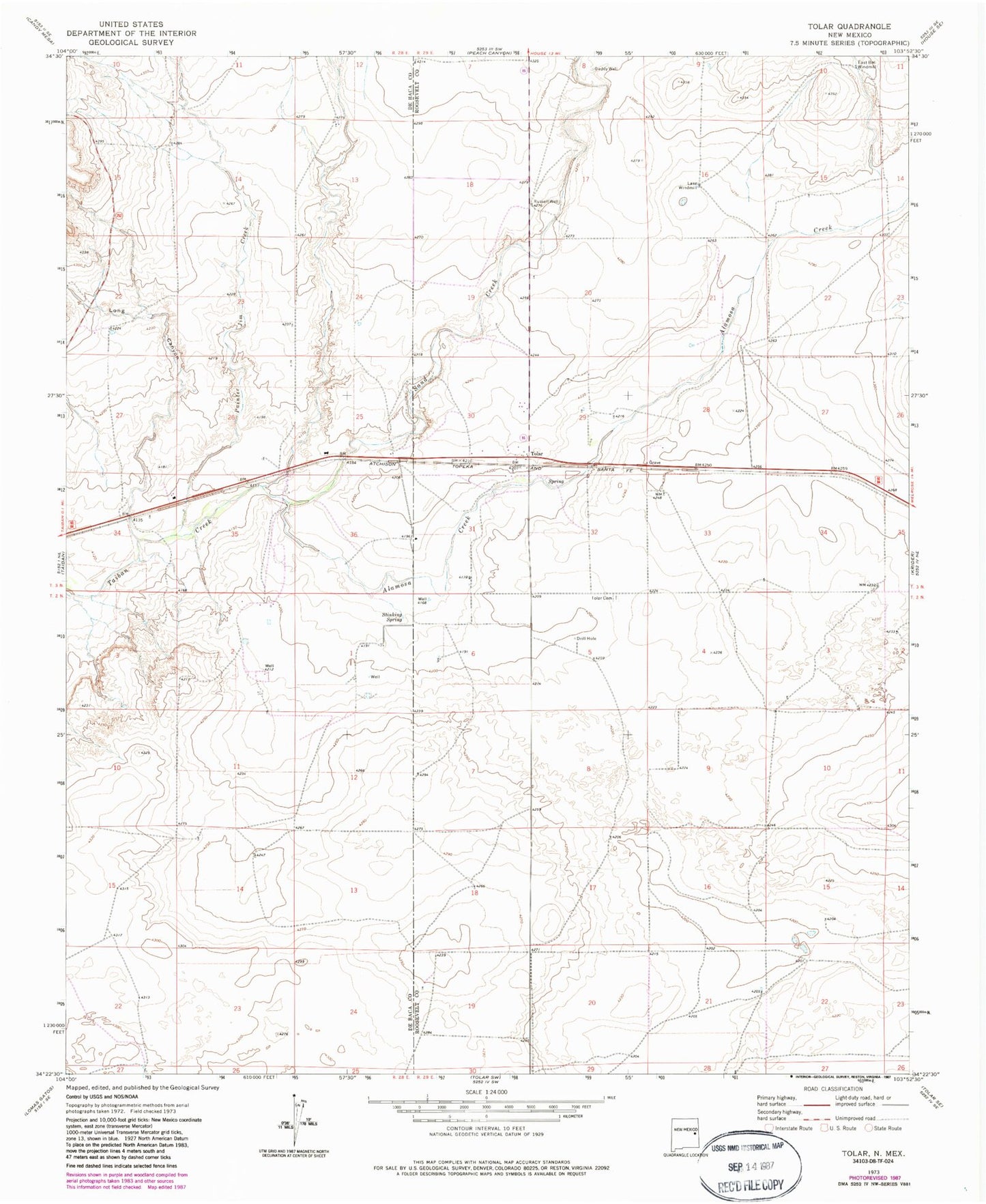
Historical USGS topographic quad map of Tolar in the state of New Mexico. Map scale may vary for some years, but is generally around 1:24,000. Print size is approximately 24" x 27"
This quadrangle is in the following counties: De Baca, Roosevelt.
The map contains contour lines, roads, rivers, towns, and lakes. Printed on high-quality waterproof paper with UV fade-resistant inks, and shipped rolled.
Contains the following named places: Alamosa Creek, Cooper, East Bell Windmill, Gaddy Well, Lake Windmill, Long Canyon, Painter Jim Creek, Russell Well, Sand Creek, Stinking Spring, Tolar, Tolar Cemetery, Tolar Post Office