MyTopo
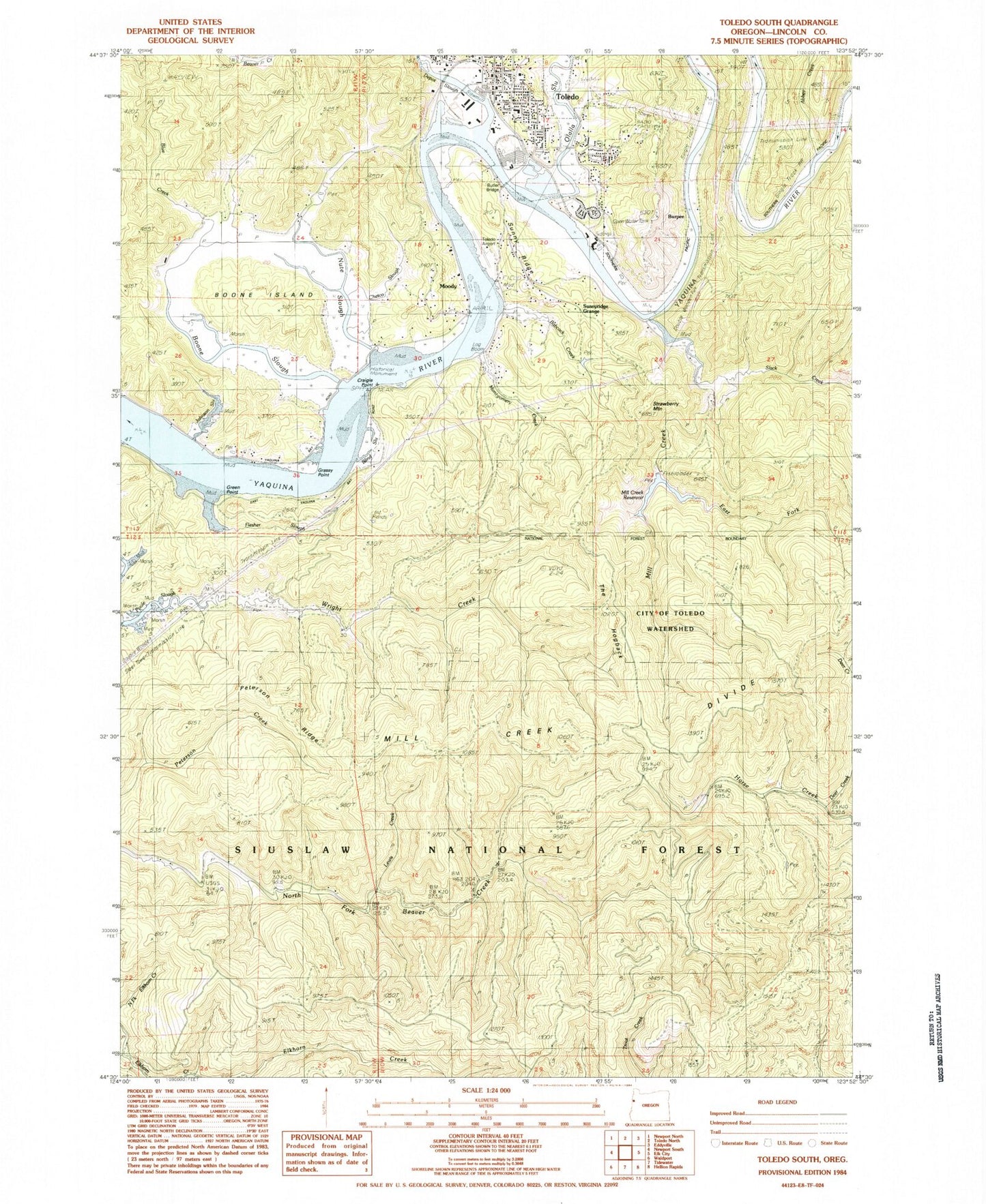
Classic USGS Toledo South Oregon 7.5'x7.5' Topo Map
Couldn't load pickup availability
Historical USGS topographic quad map of Toledo South in the state of Oregon. Map scale may vary for some years, but is generally around 1:24,000. Print size is approximately 24" x 27"
This quadrangle is in the following counties: Lincoln.
The map contains contour lines, roads, rivers, towns, and lakes. Printed on high-quality waterproof paper with UV fade-resistant inks, and shipped rolled.
Contains the following named places: Abbey Creek, Alexander Creek, Altree, Babcock Creek, Big Elk Creek, Bittner Plug Lumber Company, Blue Creek, Boone Island, Boone Slough, Burpee, Butler Bridge, Cannon Quarry Park, Cannon Quarry Park Boat Ramp, Chetco Slough, City of Toledo, City of Toledo Watershed, Craigie Point, Criteser Moorage Boat Dock, Deer Creek, Depot Slough, Dundon Bridge, East Fork Mill Creek, Elk City, Elk City Park Boat Ramp, Elk City Post Office, Flesher Slough, Grassy Point, Green Point, Hinton Slough, Horse Creek Trail, Johnson Slough, Lewis Creek, Mary Harrison School, Memorial Lumbermans Park, Mill Creek, Mill Creek Dam, Mill Creek Reservoir, Montgomery Creek, Moody, Nute Slough, Olalla Barrier Reservoir, Olalla Slough, Peterson Ridge, Port Dock One Toledo, Port of Toledo Boat Ramp, Slack Creek, Strawberry Mountain, Sunny Ridge, Sunnyridge, Sunnyridge Grange, The Hogback, Tokyo Slough, Toledo, Toledo City Hall, Toledo Division, Toledo Elementary School, Toledo Historical Museum at Toledo City Hall, Toledo Municipal Court, Toledo Police Department, Toledo Post Office, Toledo Publlic Works, Toledo Sewage Treatment Plant, Toledo State Airport, Wright Creek, Yaquina Pacific Railroad Historical Center, Yaquina River Museum of Art, ZIP Code: 97391


