MyTopo
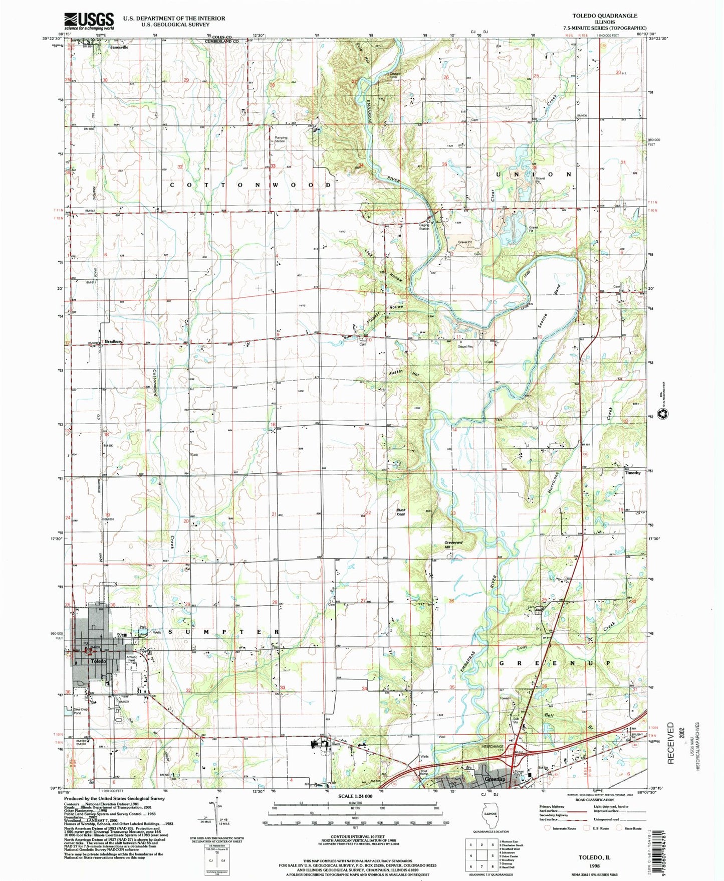
Classic USGS Toledo Illinois 7.5'x7.5' Topo Map
Couldn't load pickup availability
Historical USGS topographic quad map of Toledo in the state of Illinois. Map scale may vary for some years, but is generally around 1:24,000. Print size is approximately 24" x 27"
This quadrangle is in the following counties: Coles, Cumberland.
The map contains contour lines, roads, rivers, towns, and lakes. Printed on high-quality waterproof paper with UV fade-resistant inks, and shipped rolled.
Contains the following named places: Austin Hollow, Bell Branch, Bell Cemetery, Bowman Ford, Bradbury, Bradbury Free Methodist Church, Buck Knoll, Calvary Tabernacle, Christian Run School, Clear Creek, Clear Creek School, Cumberland County, Cumberland County Courthouse, Cumberland County Farm, Cumberland County Sheriff's Office, Cumberland Elementary School, Cumberland High School, East Whiteoak School, First Baptist Church, Friends Grove Cemetery, Fulkerson Post Office, Gold Hollow, Graveyard Hill, Haddock School, Harmony Cemetery, Harmony Friends Church, Hickory Corner School, Hurricane Creek, Hutton Cemetery, Jack Oak Cemetery, Jack Oak Church of God, Jack Oak School, Janesville, Janesville Post Office, Jones School, Lick Hollow, Lost Creek, Lost Creek School, McCann Ford, Mumford School, Neal Cemetery, Oak Chapel School, Peach Orchard Cemetery, Pleasant Grove School, Rocky Ford, Ryan Bridge, Sconce Bend, Silver Leaf School, Stitt School, Sumpter Township Library, Timothy, Tippett Cemetery, Tippett Hollow, Titus School, Toledo, Toledo Area Emergency Ambulance Service, Toledo Memorial Park Cemetery, Toledo Post Office, Toledo Volunteer Fire Department, Township of Cottonwood, Village of Toledo, Webster School, ZIP Code: 62428