MyTopo
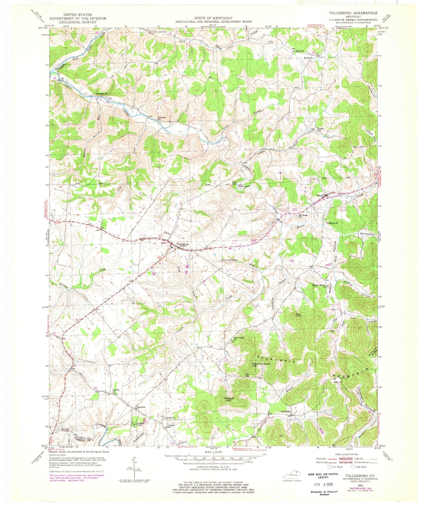
Classic USGS Tollesboro Kentucky 7.5'x7.5' Topo Map
Couldn't load pickup availability
Historical USGS topographic quad map of Tollesboro in the state of Kentucky. Map scale may vary for some years, but is generally around 1:24,000. Print size is approximately 24" x 27"
This quadrangle is in the following counties: Fleming, Lewis, Mason.
The map contains contour lines, roads, rivers, towns, and lakes. Printed on high-quality waterproof paper with UV fade-resistant inks, and shipped rolled.
Contains the following named places: Bethel Church, Bethel Creek, Boggs Post Office, Browns Run, Browns Run School, Cabin Creek Bridge, Cabin Creek Bridge Historical Marker, Cabin Creek Point of Entry Historical Marker, Cabin Creek Post Office, Canaan Church, Canaan School, Clear Creek, Cottageville, East Fork Bethel Creek, East Fork Cabin Creek, Ebenezer Church, Epworth, Epworth Post Office, Eskalapia Hollow, Eskalapia Mountain, Everetts House Post Office, Fite Hollow, Flat Gap, Fry Branch, Gallilee Church, Grog Branch, Happy Hollow, Happy Hollow Church, Happy Hollow School, Indian Creek, Indian Run, May Hollow, McKenzie Post Office, Mount Tabor Church, Myers School, Nashtown, Nashtown Post Office, Oak Hill School, Peach Orchard Hill, Pine Knob, Pine Valley Church, Pine Valley School, Poplar Flat, Ribolt, Ribolt Post Office, Richland School, Ruggles Camp, Salem Church, Stouts Hollow, Tanbark Hill, Thoroughman Branch, Tollesboro, Tollesboro Division, Tollesboro Post Office, Tollesboro Volunteer Fire Department, Trotter Creek, Union Branch, Yellowlick Branch, ZIP Code: 41189


