MyTopo
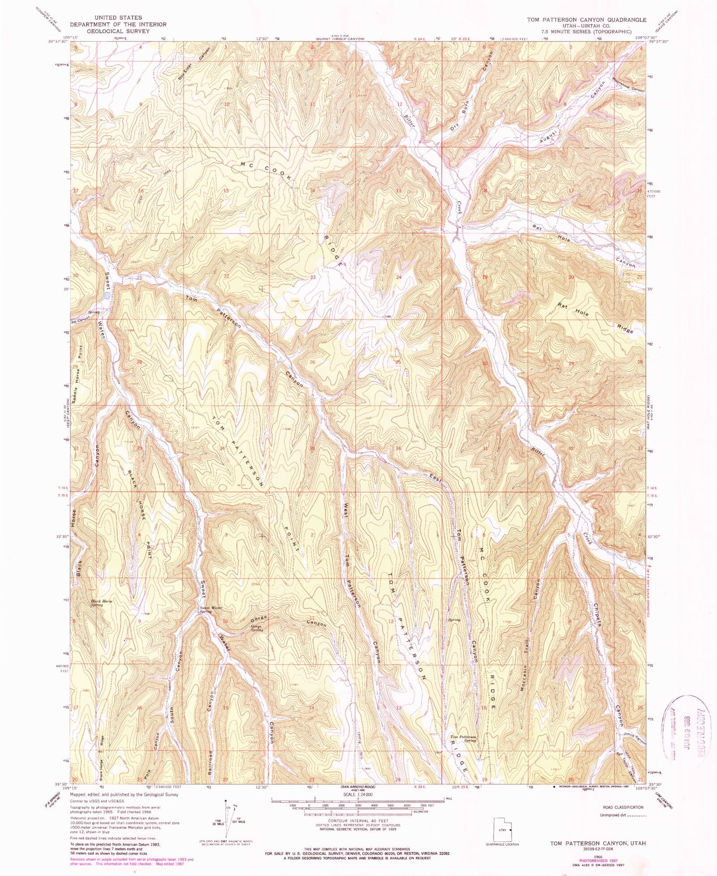
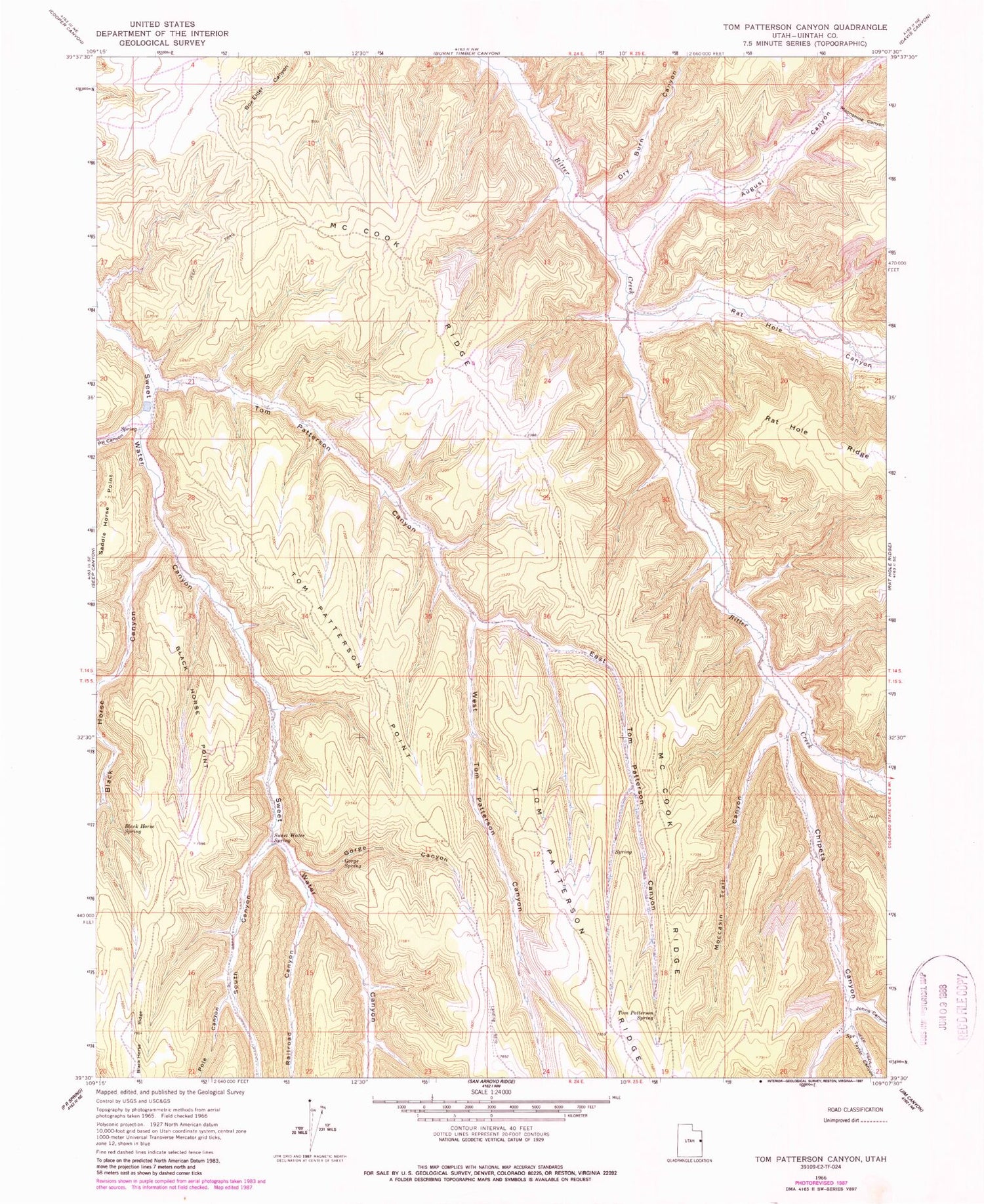
Classic USGS Tom Patterson Canyon Utah 7.5'x7.5' Topo Map
Couldn't load pickup availability
Historical USGS topographic quad map of Tom Patterson Canyon in the state of Utah. Typical map scale is 1:24,000, but may vary for certain years, if available. Print size: 24" x 27"
This quadrangle is in the following counties: Uintah.
The map contains contour lines, roads, rivers, towns, and lakes. Printed on high-quality waterproof paper with UV fade-resistant inks, and shipped rolled.
Contains the following named places: Rat Hole Canyon, Augusi Canyon, Black Horse Canyon, Black Horse Point, Black Horse Spring, Chipeta Canyon, Dry Burn Canyon, East Tom Patterson Canyon, Gorge Canyon, Gorge Spring, Johns Canyon, McCook Ridge, Moccasin Trail Canyon, Moonshine Canyon, PR Canyon, Pole Canyon, Railroad Canyon, South Canyon, Sweet Water Spring, Taylor Canyon, Tom Patterson Canyon, Tom Patterson Point, Tom Patterson Ridge, Tom Patterson Spring, West Tom Patterson Canyon, Book Cliffs Natural Area, PR Canyon


