MyTopo
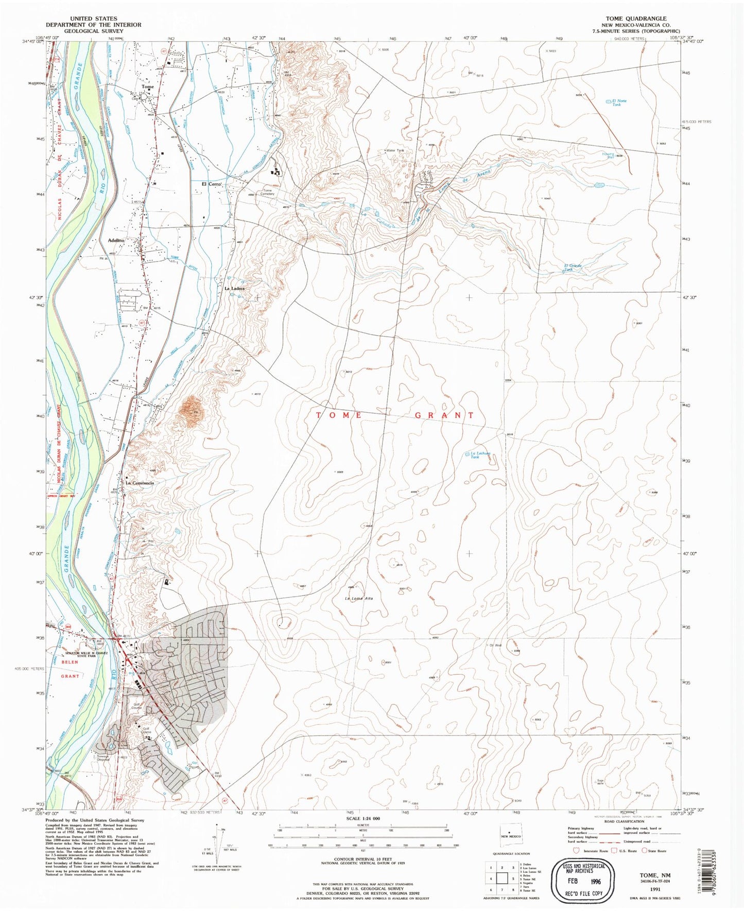
Classic USGS Tome New Mexico 7.5'x7.5' Topo Map
Couldn't load pickup availability
Historical USGS topographic quad map of Tome in the state of New Mexico. Map scale may vary for some years, but is generally around 1:24,000. Print size is approximately 24" x 27"
This quadrangle is in the following counties: Valencia.
The map contains contour lines, roads, rivers, towns, and lakes. Printed on high-quality waterproof paper with UV fade-resistant inks, and shipped rolled.
Contains the following named places: 10006 Water Well, 10007 Water Well, 10012 Water Well, 10014 Water Well, Adelino, Adelino Census Designated Place, Adelino Post Office, Adelino School, Catholic Church of Tome, Cerro Drain, City of Rio Communities, El Cerro, El Grande Tank, El Norte Tank, Immaculate Conception Parish Museum, Jaral Lateral Number 1, La Canada de la Loma de Arena, La Constancia, La Constancia Ditch, La Constancia Lateral, La Ladera, La Lechusa Tank, La Loma Alta, Las Maravillas, Las Maravillas Census Designated Place, Los Chavez Ditch, Los Chavez Lateral, Lower Belen Riverside Drain, Lower Peralta Riverside Drain, Miguel E Baca House Historic Site, New Jaral Ditch, Pasitos del Cielo, Rio Communities, Rio Communities Census Designated Place, Rio Communities North Census Designated Place, Rio del Oro, Rio Grande Estates, Rio Grande Estates Fire and Rescue Main Station, Senator Willie M Chavez State Park, Tome, Tome - Adelino Volunteer Fire Department Valley Station, Tome Adelino Fire Department Mesa Station, Tome Cemetery, Tome Census Designated Place, Tome Ditch, Tome Jail Historic Site, Tome Post Office, Tome-Adelino Census Designated Place, University of New Mexico Valencia Branch, UNM Valencia Branch


