MyTopo
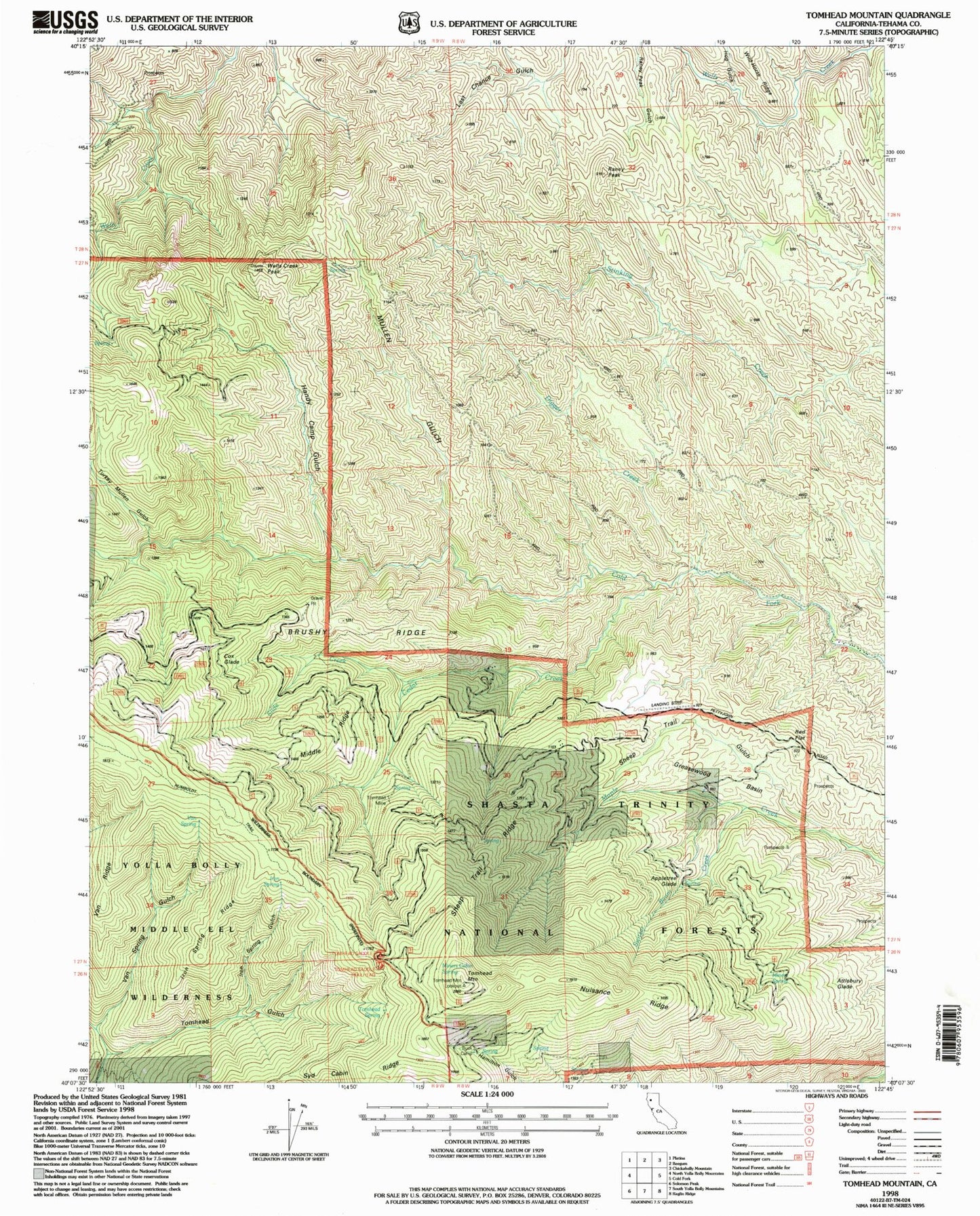
Classic USGS Tomhead Mountain California 7.5'x7.5' Topo Map
Couldn't load pickup availability
Historical USGS topographic quad map of Tomhead Mountain in the state of California. Map scale may vary for some years, but is generally around 1:24,000. Print size is approximately 24" x 27"
This quadrangle is in the following counties: Tehama.
The map contains contour lines, roads, rivers, towns, and lakes. Printed on high-quality waterproof paper with UV fade-resistant inks, and shipped rolled.
Contains the following named places: Appletree Glade, Attlebury Glade, Bear Gulch, Brushy Ridge, Buck Camp, Cedar Creek, Cox Glade, Digger Creek, Greasewood Basin, Handy Camp, Handy Camp Gulch, Hog Gulch, Iron Spring, Iron Spring Gulch, Iron Spring Ridge, Lone Pine Spring, Long Gulch, Middle Ridge, Miners Cabin Spring, Miners Spring, Mullen Gulch, Nuisance Ridge, Raney Peak, Red Flat, Saddle Camp Campground, Saddle Camp Forest Service Station, Sheep Trail Gulch, Sheep Trail Ridge, Slide Creek, Stinking Springs, Switzel-Baum Creek, Syd Cabin Ridge, Tomhead Gulch, Tomhead Mine, Tomhead Mountain, Tomhead Mountain Lookout, Tomhead Saddle Campground, Tomhead Saddle Trailhead, Tomhead Spring, Turkey Mullen Gulch, Van Ridge, Van Spring, Van Spring Gulch, Wells Creek Peak


