MyTopo
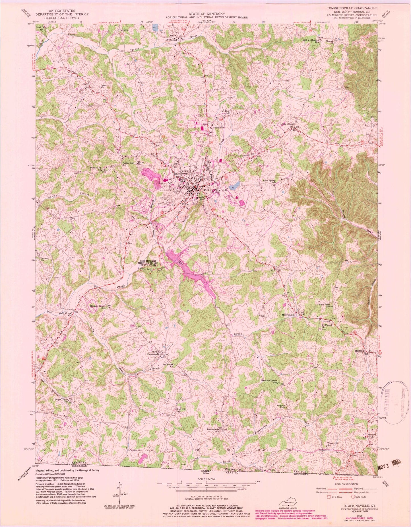
Classic USGS Tompkinsville Kentucky 7.5'x7.5' Topo Map
Couldn't load pickup availability
Historical USGS topographic quad map of Tompkinsville in the state of Kentucky. Map scale may vary for some years, but is generally around 1:24,000. Print size is approximately 24" x 27"
This quadrangle is in the following counties: Monroe.
The map contains contour lines, roads, rivers, towns, and lakes. Printed on high-quality waterproof paper with UV fade-resistant inks, and shipped rolled.
Contains the following named places: Athens Church, Beech Grove Church, Berea Church, Brown Cemetery, Bushong, Cave Spring School, Chestnut Grove School, City of Tompkinsville, Corinth Church, Court House Burnings Historical Marker, Curtis Branch, Forkton, Freedom Church, Grandview, Gully Creek, Gully Creek Church, Hammer Cemetery, Harlan Crossroads, Hestand, Hickory Grove School, Liberty School, Lyon School, Lyons Chapel, Monroe Church, Monroe County, Monroe County Ambulance Service, Monroe County Fire and Rescue, Monroe County Historical Marker, Monroe County Medical Center, Monroe County Sheriff's Office, Moores Mill, Moores Mill Historical Marker, Morgans First Raid Historical Marker, Mount Gilead, Mount Poland Church, Mount Zion School, Oak Hill Cemetery, Old Berea Church, Old Mount Hermon School, Old Mulkey Church Historical Marker, Old Mulkey Meeting House State Park, Poplar Log Missionary Baptist Church, Poplar Log School, Red Hill School, Rush Point School, Sand Lick School, Sugar Grove School, Tinsley Hill School, Tompkinsville, Tompkinsville Division, Tompkinsville Police Department, Tompkinsville Post Office, Tompkinsville Volunteer Fire Department, Tompkinsville-Monroe County Airport, Town Creek, WTKY-AM (Tompkinsville), WTKY-FM (Tompkinsville), ZIP Code: 42167


