MyTopo
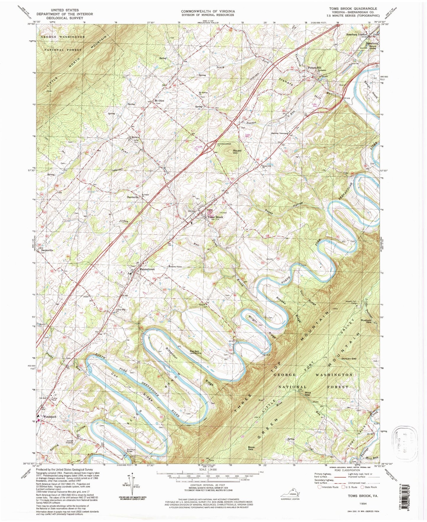
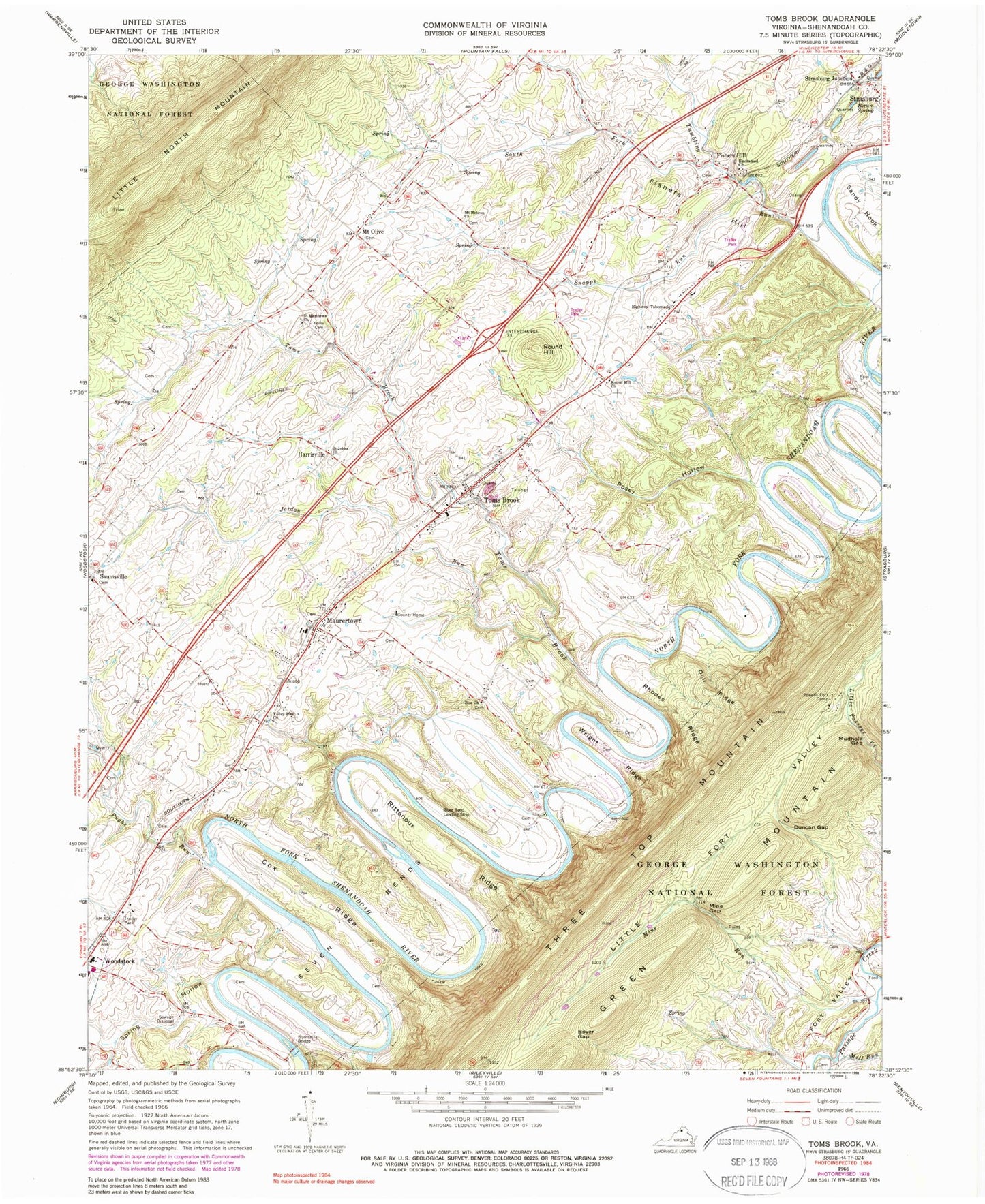
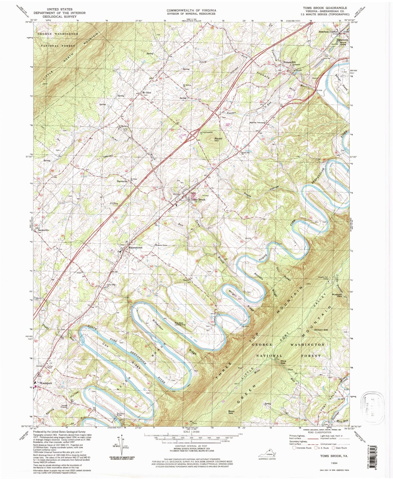
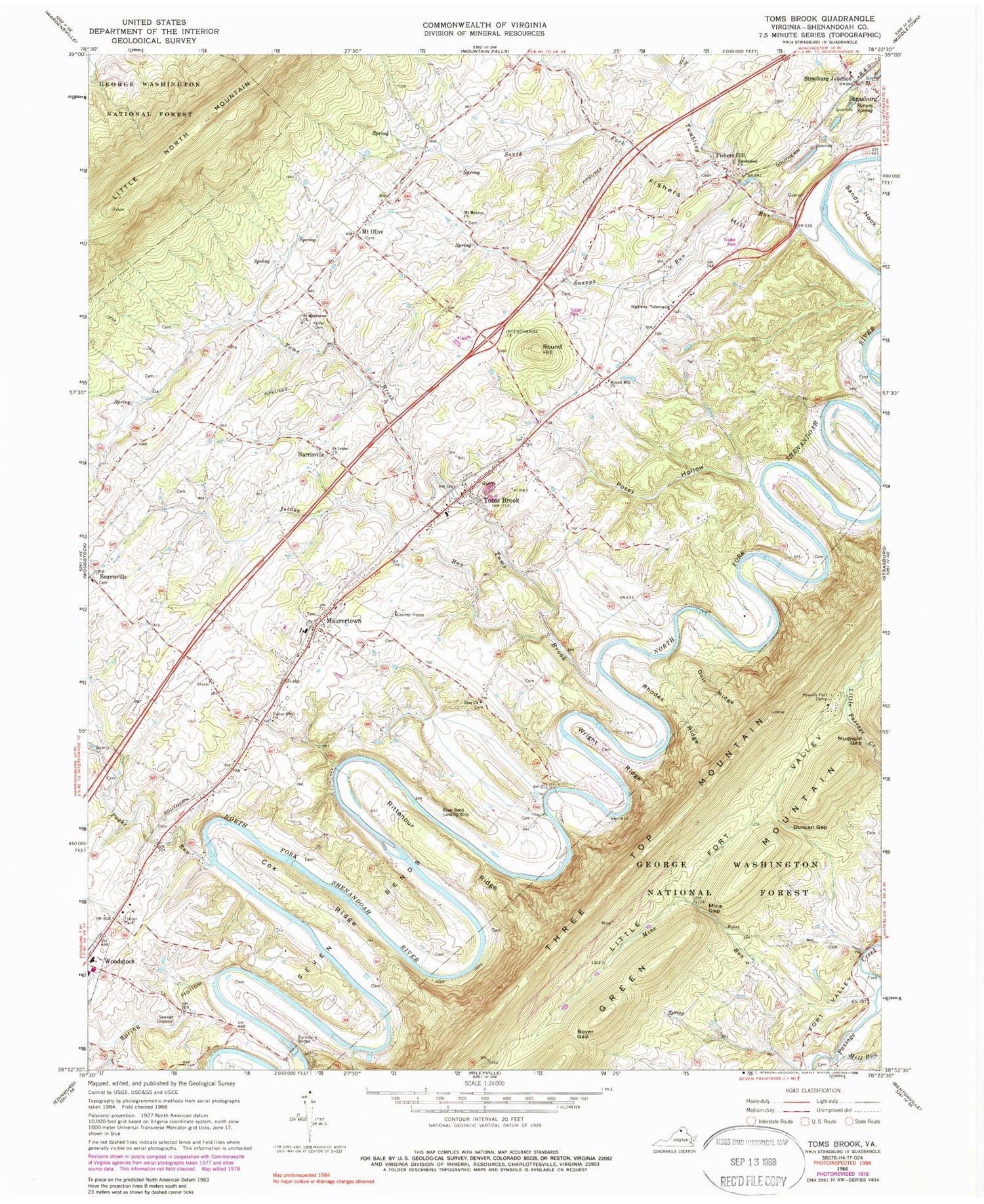
Classic USGS Toms Brook Virginia 7.5'x7.5' Topo Map
Couldn't load pickup availability
Historical USGS topographic quad map of Toms Brook in the state of Virginia. Typical map scale is 1:24,000, but may vary for certain years, if available. Print size: 24" x 27"
This quadrangle is in the following counties: Shenandoah.
The map contains contour lines, roads, rivers, towns, and lakes. Printed on high-quality waterproof paper with UV fade-resistant inks, and shipped rolled.
Contains the following named places: Borum Spring, Boyer Gap, Burnshire Bridge, Cox Ridge, Doll Ridge, Duncan Gap, Emmanuel Church, Fishers Hill, Highway Tabernacle, Jordan Run, Keller Cemetery, Little Fort Valley, Mill Run, Mine Gap, Mine Run, Mount Hebron Church, Mudhole Gap, Posey Hollow, Powells Fort Camp, Pughs Run, Rhodes Ridge, Rittenour Ridge, Round Hill, Round Hill Church, Saint Johns Church, Saint Matthews Church, Wright Ridge, Zion Church, Snapps Run, South Fork Tumbling Run, Spring Hollow, Toms Brook, Tumbling Run, Valley Pike Church, River Bend Airport, Burnshire Dam, Fishers Hill, Harrisville, Maurertown, Mount Olive, Saumsville, Strasburg Junction, Toms Brook, Hollow Run, Maurertown Brethren Church, Mount Hebron Cemetery, Pelton, Saint Johns United Church of Christ Cemetery, Saumsville Christian Church, Valley Pike Church of the Brethren Cemetery, Woodstock High School, Zion Cemetery, Fowlers Run, District 5, Toms Brook Volunteer Fire Department, Shenandoah County Department of Fire Rescue, Town of Toms Brook, Community Christian School of the Shenandoah Valley, Maurertown Census Designated Place, Maurertown Post Office, Toms Brook Post Office, Fishers Hill Post Office


