MyTopo
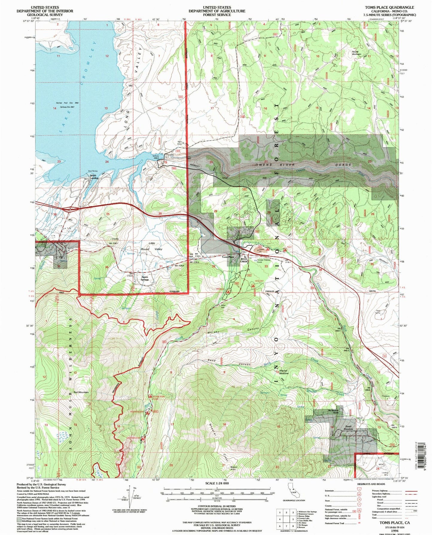
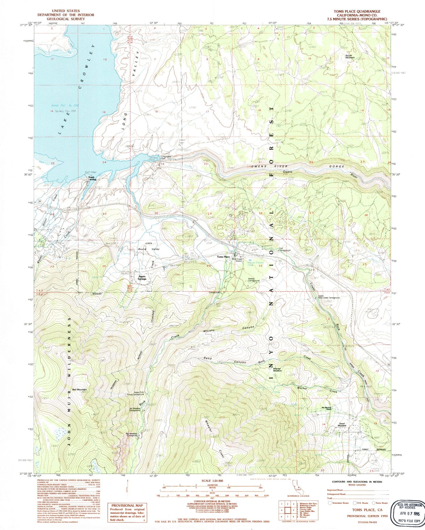
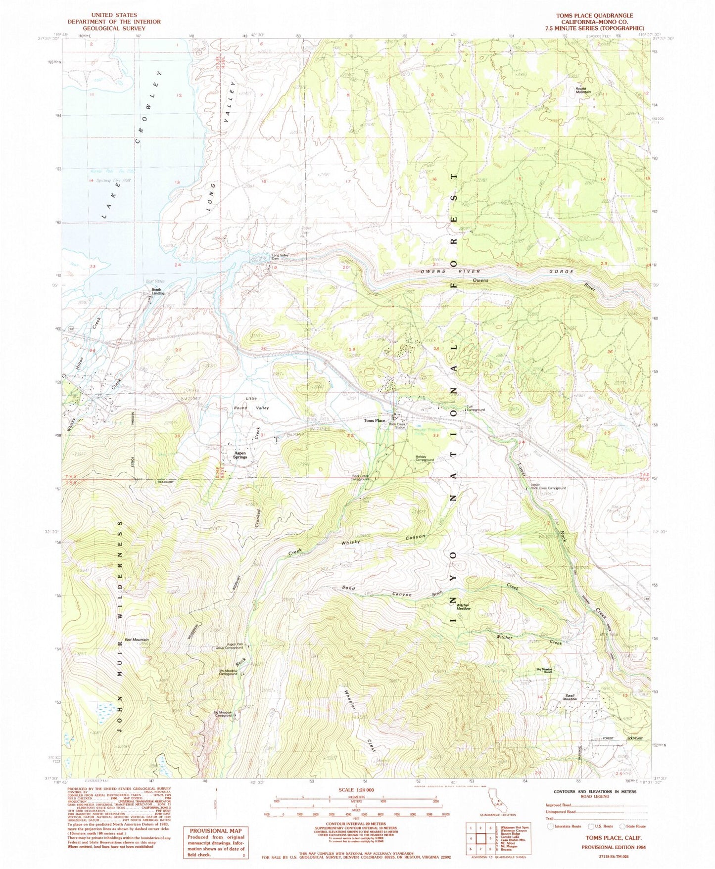
Classic USGS Toms Place California 7.5'x7.5' Topo Map
Couldn't load pickup availability
Historical USGS topographic quad map of Toms Place in the state of California. Typical map scale is 1:24,000, but may vary for certain years, if available. Print size: 24" x 27"
This quadrangle is in the following counties: Mono.
The map contains contour lines, roads, rivers, towns, and lakes. Printed on high-quality waterproof paper with UV fade-resistant inks, and shipped rolled.
Contains the following named places: Birch Creek, Hilton Creek, Long Valley Dam, Red Mountain, Rock Creek Station, Round Mountain, Sand Canyon, Sherwin Meadow, Sky Meadow Ranch, Crooked Creek, Lake Crowley, Little Round Valley, Rock Creek, Swall Meadow, Whisky Canyon, Witcher Creek, Witcher Meadow, Whisky Creek, Tunnel Number One, Iris Meadow Campground, Big Meadow Campground, Holiday Campground, Rock Creek Campground, Aspen Park Group Campground, Tuff Campground, Lower Rock Creek Campground, Sherwin Summit, South Landing, Toms Place, Aspen Springs, Tuff Picnic Site, French Camp Campground, Aspen Springs Census Designated Place, Crowley Lake Census Designated Place, Sunny Slopes Census Designated Place, Swall Meadows Census Designated Place, Wheeler Crest Fire Protection District, Birch Creek, Hilton Creek, Long Valley Dam, Red Mountain, Rock Creek Station, Round Mountain, Sand Canyon, Sherwin Meadow, Sky Meadow Ranch, Crooked Creek, Lake Crowley, Little Round Valley, Rock Creek, Swall Meadow, Whisky Canyon, Witcher Creek, Witcher Meadow, Whisky Creek, Tunnel Number One, Iris Meadow Campground, Big Meadow Campground, Holiday Campground, Rock Creek Campground, Aspen Park Group Campground, Tuff Campground, Lower Rock Creek Campground, Sherwin Summit, South Landing, Toms Place, Aspen Springs, Tuff Picnic Site, French Camp Campground, Aspen Springs Census Designated Place, Crowley Lake Census Designated Place, Sunny Slopes Census Designated Place, Swall Meadows Census Designated Place, Wheeler Crest Fire Protection District


