MyTopo
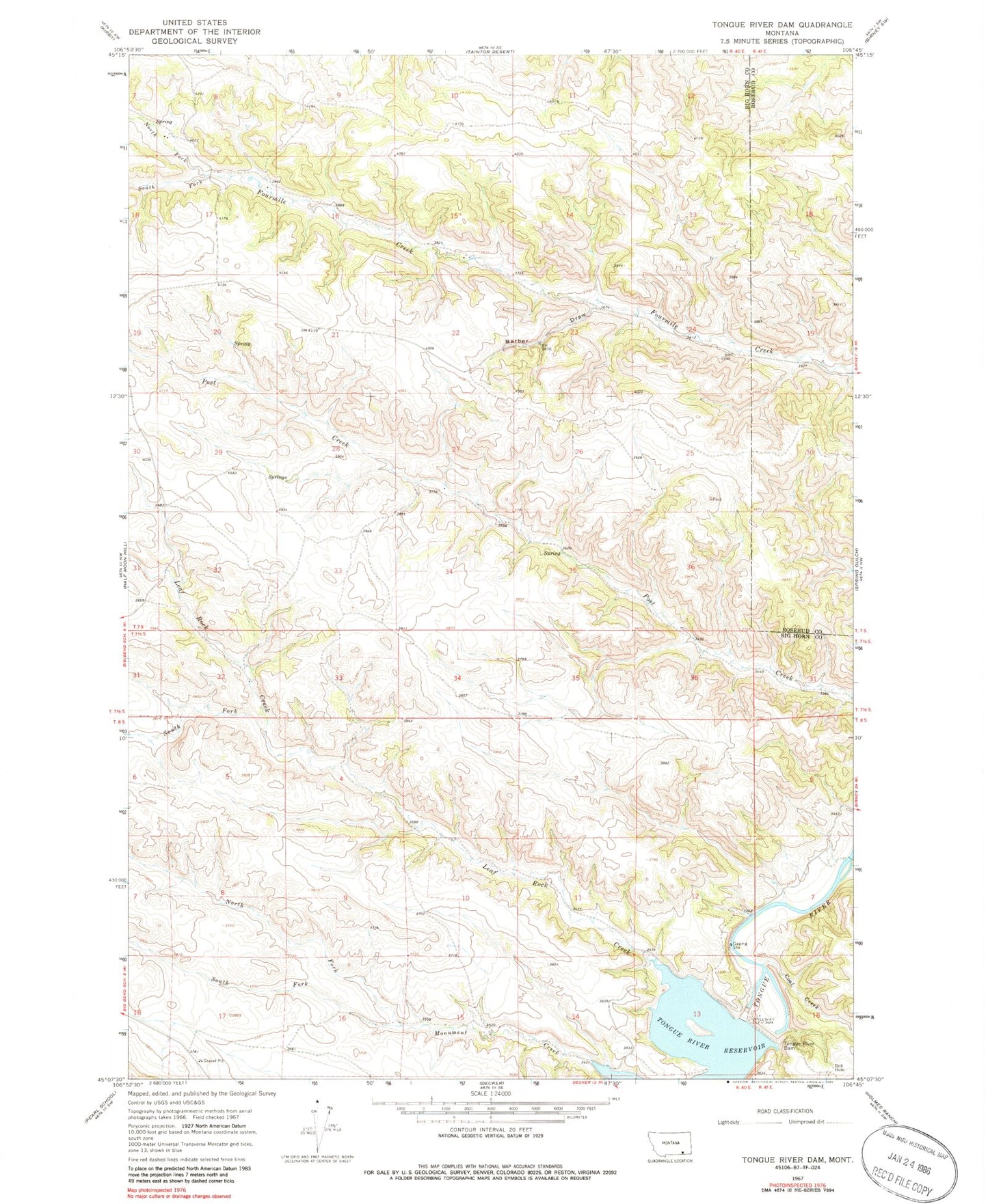
Classic USGS Tongue River Dam Montana 7.5'x7.5' Topo Map
Couldn't load pickup availability
Historical USGS topographic quad map of Tongue River Dam in the state of Montana. Map scale may vary for some years, but is generally around 1:24,000. Print size is approximately 24" x 27"
This quadrangle is in the following counties: Big Horn, Rosebud.
The map contains contour lines, roads, rivers, towns, and lakes. Printed on high-quality waterproof paper with UV fade-resistant inks, and shipped rolled.
Contains the following named places: 07S40E07DADD01 Spring, 07S40E08CCBD01 Well, 07S40E08CCDA01 Well, 07S40E09ABCA01 Spring, 07S40E09CDDA01 Spring, 07S40E11BADC01 Spring, 07S40E15DCBD01 Well, 07S40E16BDAA01 Spring, 07S40E16DBCC01 Spring, 07S40E17AACD01 Spring, 07S40E17AADC01 Well, 07S40E17ACBD01 Spring, 07S40E17BADA01 Well, 07S40E18ADAC01 Spring, 07S40E27CDAD01 Well, 07S40E29DAAC01 Spring, 07S40E35BDAC01 Spring, 07S41E19DCAA01 Well, 07S48E17BBCD01 Spring, 07T5S40E32DBDA Well, 08S40E01BBCD01 Well, 08S40E02ABAB01 Spring, 08S40E11CAAC01 Well, 08S40E15DBAD01 Well, 08S40E17DACD01 Well, 08S40E17DDAA01 Well, 08S41E18CBBB01 Well, Barber Draw, Coal Creek, Four Mile School, Leaf Rock Creek, Monument Creek School, North Fork Fourmile Creek, North Fork Monument Creek, Post Creek School, South Fork Fourmile Creek, South Fork Leaf Rock Creek, South Fork Monument Creek, Tongue River Dam, Tongue River Post Office


