MyTopo
Classic USGS Tonopah Arizona 7.5'x7.5' Topo Map
Couldn't load pickup availability
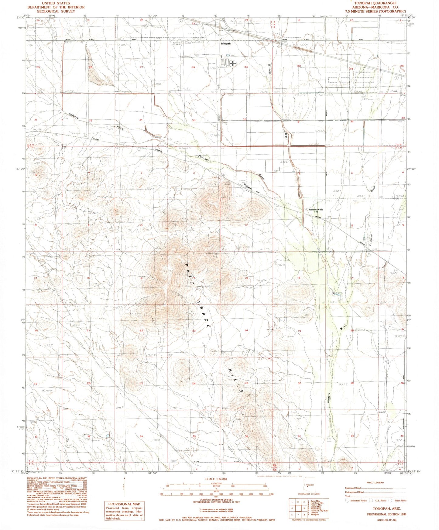
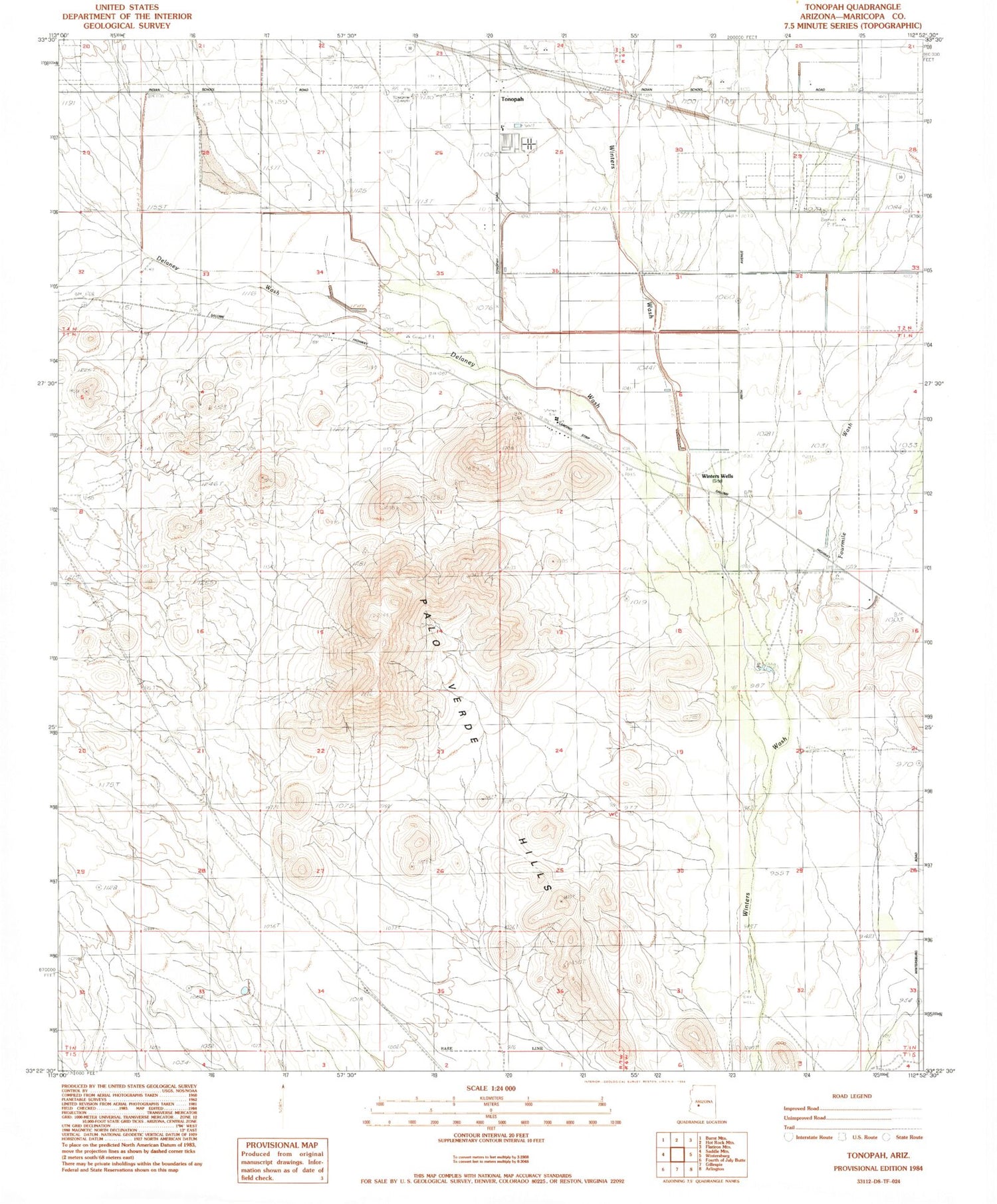
Historical USGS topographic quad map of Tonopah in the state of Arizona. Map scale may vary for some years, but is generally around 1:24,000. Print size is approximately 24" x 27"
This quadrangle is in the following counties: Maricopa.
The map contains contour lines, roads, rivers, towns, and lakes. Printed on high-quality waterproof paper with UV fade-resistant inks, and shipped rolled.
Contains the following named places: Delaney Wash, Delaney Well, Fourmile Wash, Jagow Well, Lazy Y Ranch, Mauldin Airstrip, Palo Verde Hills, Palo Verde Mobile Home and Recreational Vehicle Park, Saddle Mountain Recreational Vehicle Park, Tonopah, Tonopah Census Designated Place, Tonopah Post Office, Tonopah Substation, Winters Well