MyTopo
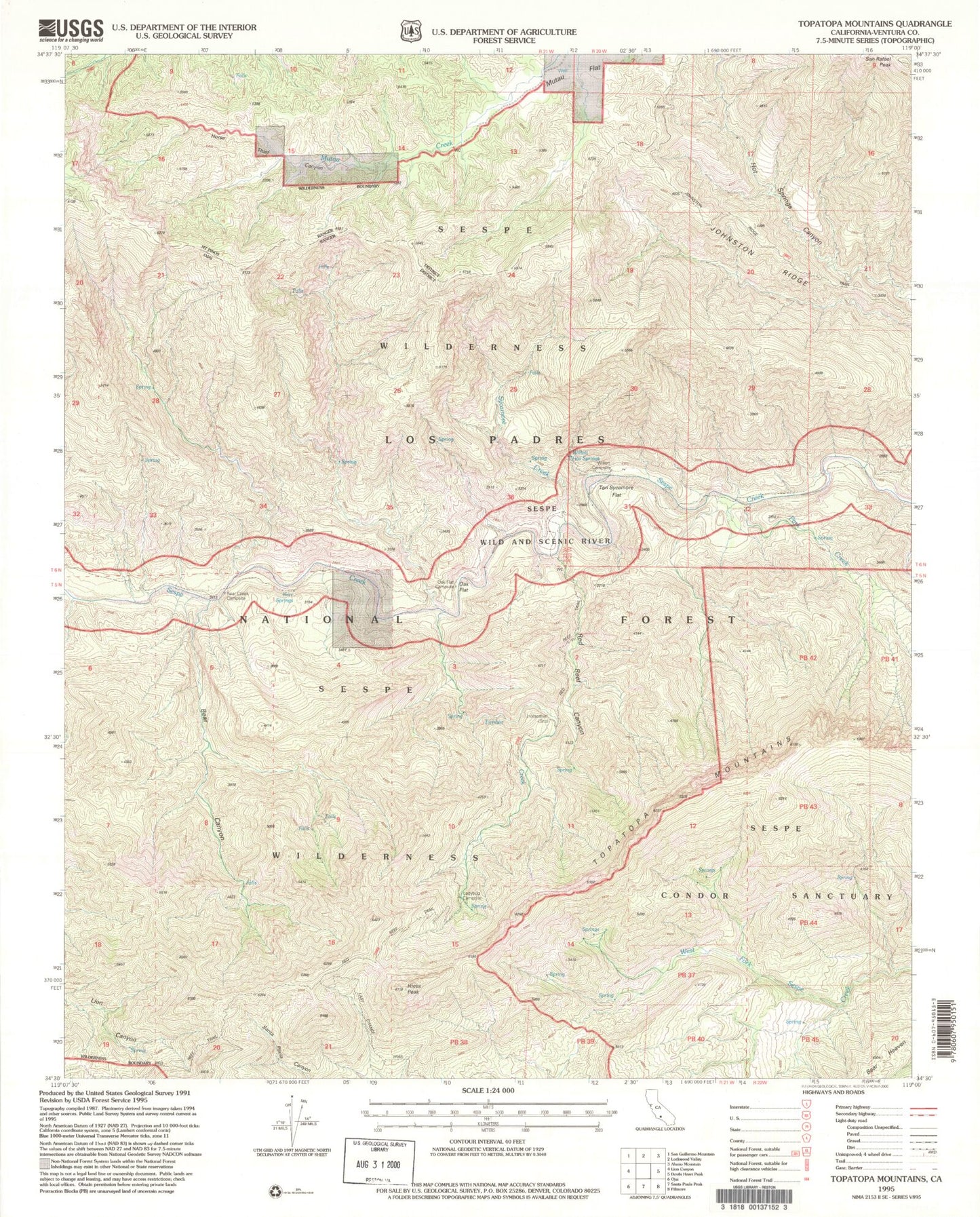
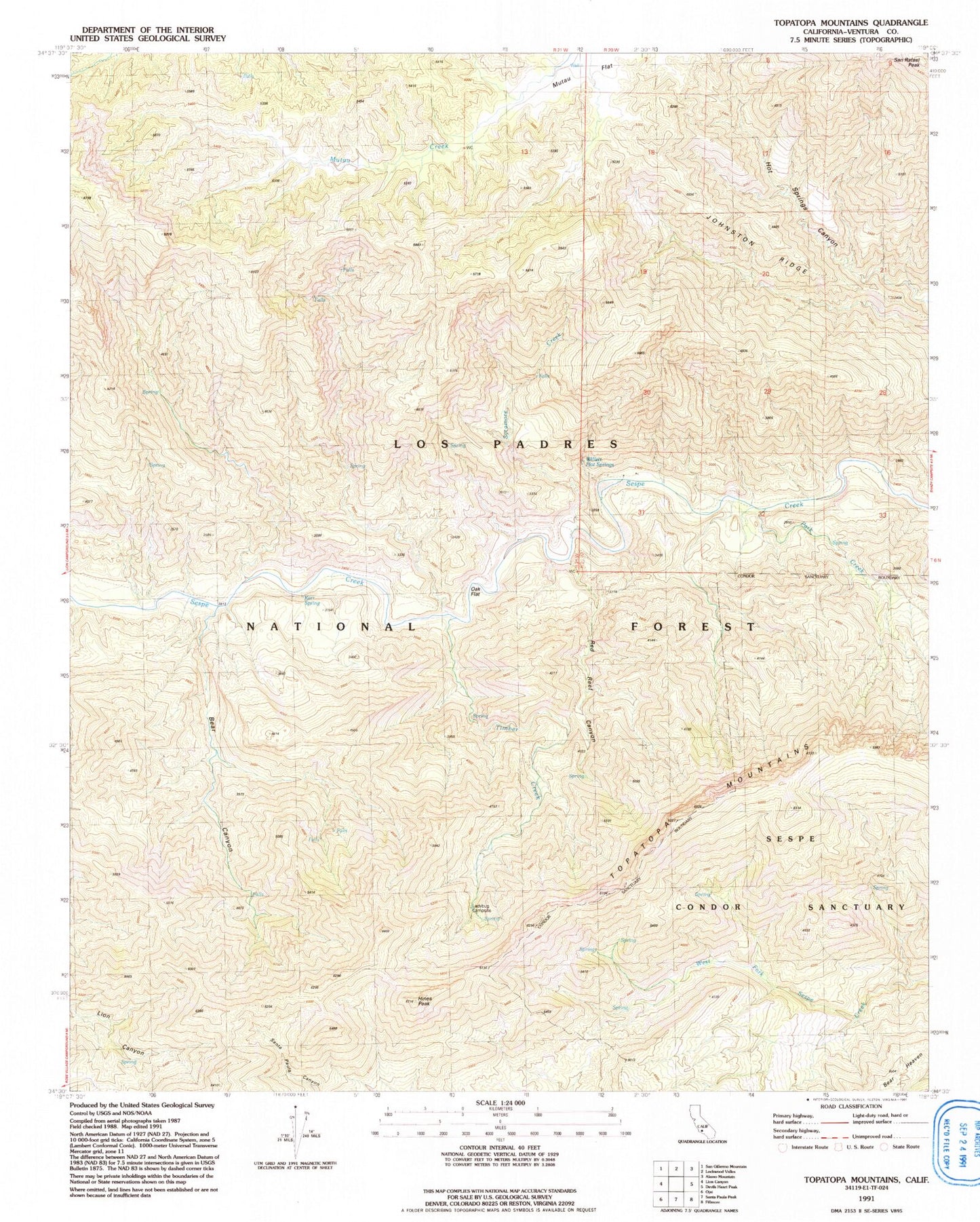
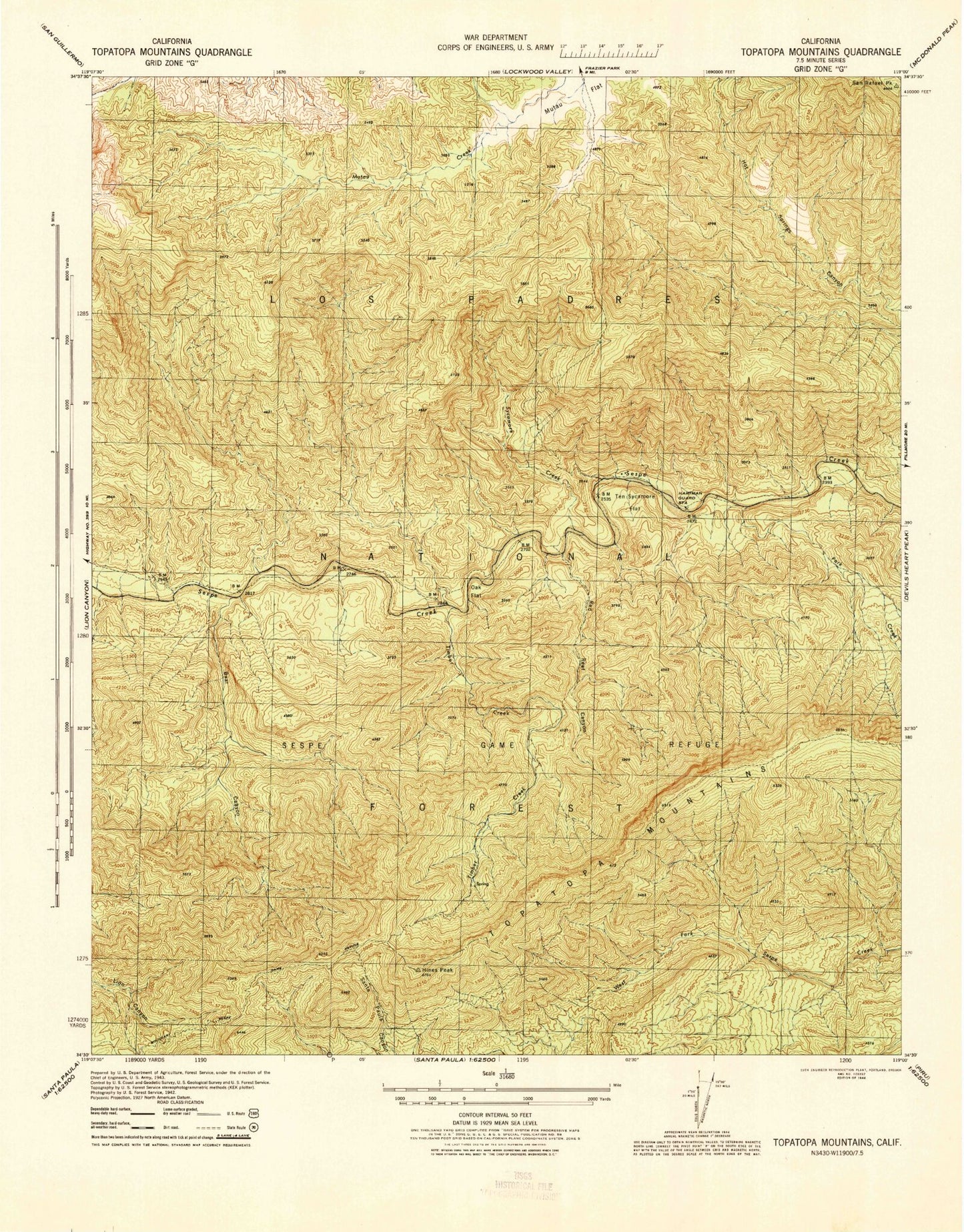
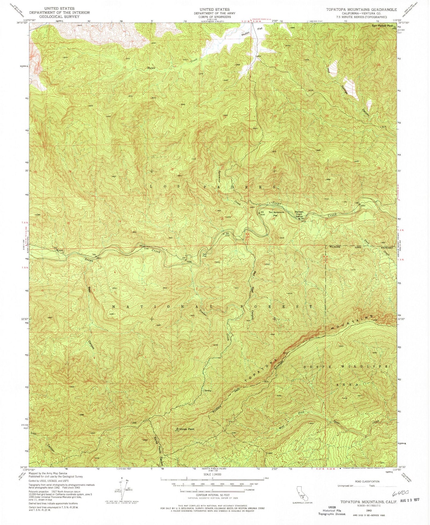
Classic USGS Topatopa Mountains California 7.5'x7.5' Topo Map
Couldn't load pickup availability
Historical USGS topographic quad map of Topatopa Mountains in the state of California. Typical map scale is 1:24,000, but may vary for certain years, if available. Print size: 24" x 27"
This quadrangle is in the following counties: Ventura.
The map contains contour lines, roads, rivers, towns, and lakes. Printed on high-quality waterproof paper with UV fade-resistant inks, and shipped rolled.
Contains the following named places: Bear Canyon, Hines Peak, Oak Flat, Park Creek, Red Reef Canyon, San Rafael Peak, Sycamore Creek, Timber Creek, Hartman Guard Station (historical), Ten Sycamore Flat, Ladybug Campsite, Kerr Spring, Willett Hot Springs, Topatopa Mountains, Poplar Creek, Oak Flat Campground, Willett Hot Springs, Willet, Kerr Spring, Harman Campground, Thatcher Campground (historical), Horsethief, Reed Reef Trail, Ladybug Campsite, Johnston Ridge, Sespe Wilderness, Sespe Creek Wild and Scenic River, Bear Canyon, Hines Peak, Oak Flat, Park Creek, Red Reef Canyon, San Rafael Peak, Sycamore Creek, Timber Creek, Hartman Guard Station (historical), Ten Sycamore Flat, Ladybug Campsite, Kerr Spring, Willett Hot Springs, Topatopa Mountains, Poplar Creek, Oak Flat Campground, Willett Hot Springs, Willet, Kerr Spring, Harman Campground, Thatcher Campground (historical), Horsethief, Reed Reef Trail, Ladybug Campsite, Johnston Ridge, Sespe Wilderness, Sespe Creek Wild and Scenic River, Bear Canyon, Hines Peak, Oak Flat, Park Creek, Red Reef Canyon, San Rafael Peak, Sycamore Creek, Timber Creek, Hartman Guard Station (historical), Ten Sycamore Flat, Ladybug Campsite, Kerr Spring, Willett Hot Springs, Topatopa Mountains, Poplar Creek, Oak Flat Campground, Willett Hot Springs, Willet, Kerr Spring, Harman Campground, Thatcher Campground (historical), Horsethief, Reed Reef Trail, Ladybug Campsite, Johnston Ridge, Sespe Wilderness, Sespe Creek Wild and Scenic River


