MyTopo
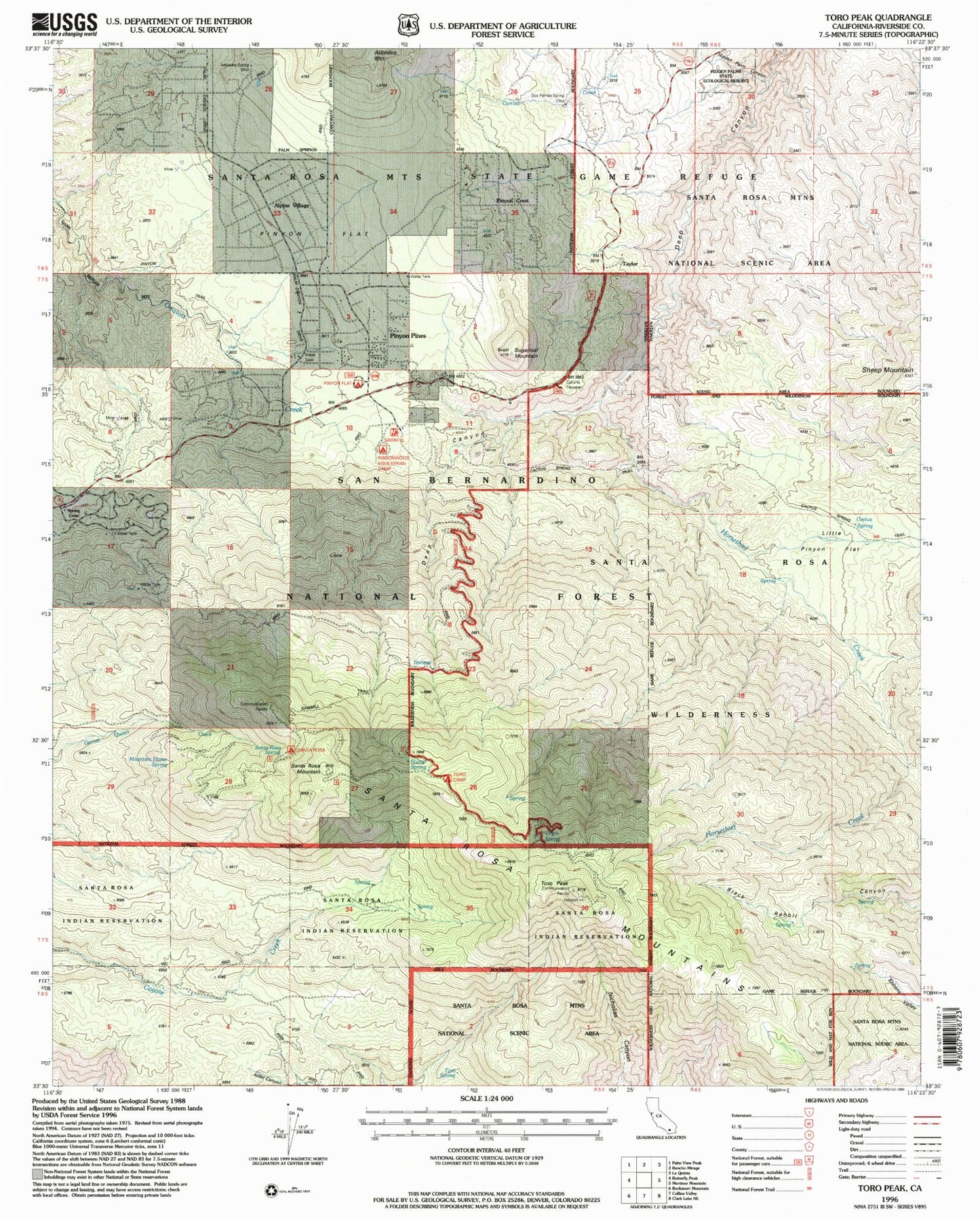
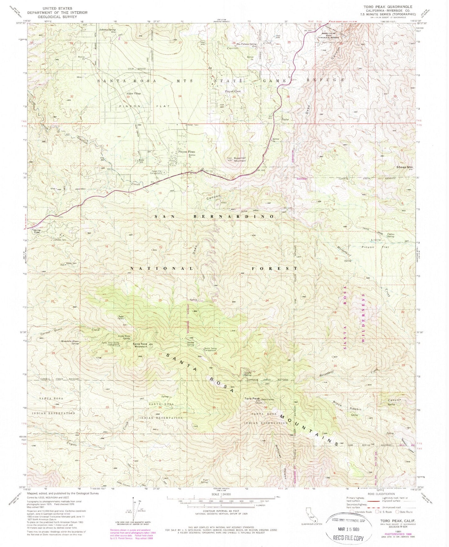
Classic USGS Toro Peak California 7.5'x7.5' Topo Map
Couldn't load pickup availability
Historical USGS topographic quad map of Toro Peak in the state of California. Typical map scale is 1:24,000, but may vary for certain years, if available. Print size: 24" x 27"
This quadrangle is in the following counties: Riverside.
The map contains contour lines, roads, rivers, towns, and lakes. Printed on high-quality waterproof paper with UV fade-resistant inks, and shipped rolled.
Contains the following named places: Asbestos Mine, Asbestos Spring, Cactus Spring, Cedar Spring, Dolomite Mine, Garnet Queen Mine, Hidden Palm Canyon, Horsethief Creek, Little Pinyon Flat, Mountain Home Spring, Pinyon Flat Campground, Santa Rosa Spring, Sheep Mountain, Stump Spring, Toro Peak, Virgin Spring, Taylor, Dos Palmas Spring, Pinyon Flat, Big Horn Overlook, Santa Rosa Campground, Pinyon Pines, Pinyon Crest, Ribbonwood, Santa Rosa Mountain, Alpine Village, Hidden Palms State Ecological Reserve, Santa Rosa Spring Campground, Spring Crest, Stump Spring Campground, Toro Spring, Riverside County Fire Department Station 30