
MyTopo
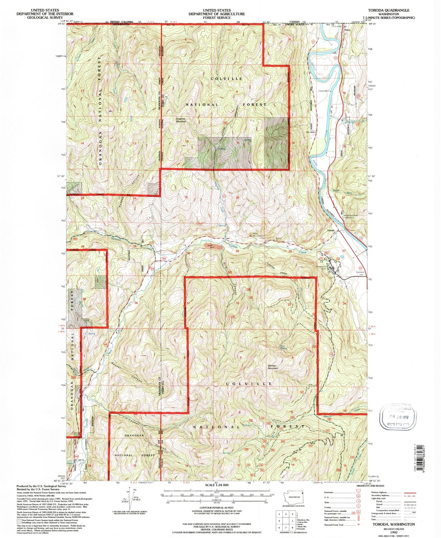
Classic USGS Toroda Washington 7.5'x7.5' Topo Map
Couldn't load pickup availability
Historical USGS topographic quad map of Toroda in the state of Washington. Map scale may vary for some years, but is generally around 1:24,000. Print size is approximately 24" x 27"
This quadrangle is in the following counties: Ferry, Okanogan.
The map contains contour lines, roads, rivers, towns, and lakes. Printed on high-quality waterproof paper with UV fade-resistant inks, and shipped rolled.
Contains the following named places: Bamber Mountain, Catherine Creek, Coogan Creek, Curlew Air Force Station, Curlew Civilian Conservation Center, Curlew Job Corps Wastewater Treatment Plant, Eagle Cliff Cemetery, Ferry, Ferry - Midway Port of Entry, Gilg Canyon, Graphite Creek, Graphite Mountain, Ken Spring, Koepke Canyon, Marias Creek, Nicholson Creek, North Ferry County Ambulance, O'Connor Canyon, Ranald MacDonald Historical Site, Resner Canyon, Tenas Mary Creek, Toroda, Toroda Creek, Wheaton Lake


