MyTopo
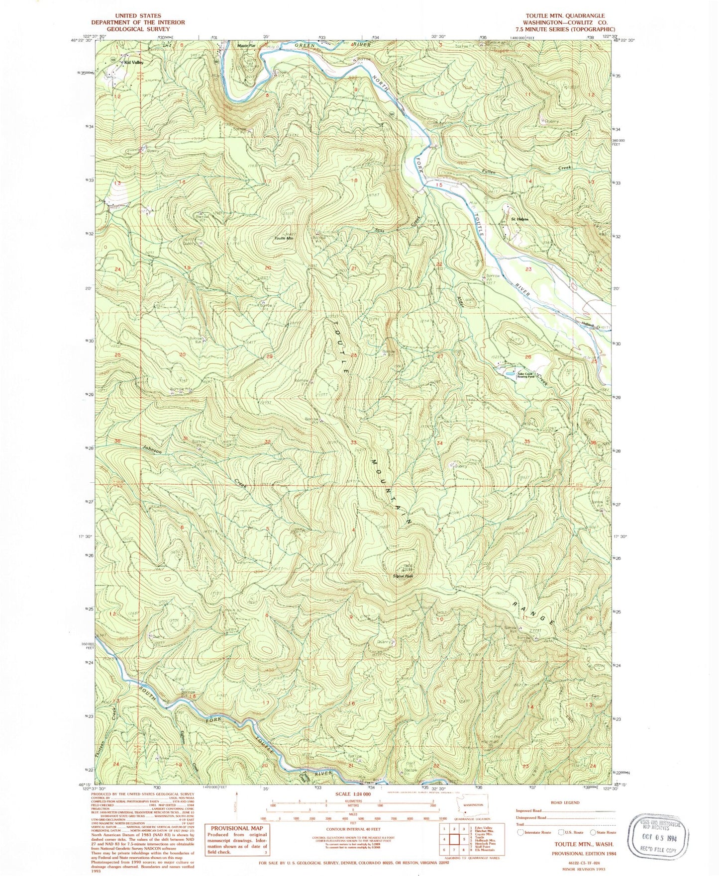
Classic USGS Toutle Mountain Washington 7.5'x7.5' Topo Map
Couldn't load pickup availability
Historical USGS topographic quad map of Toutle Mountain in the state of Washington. Map scale may vary for some years, but is generally around 1:24,000. Print size is approximately 24" x 27"
This quadrangle is in the following counties: Cowlitz.
The map contains contour lines, roads, rivers, towns, and lakes. Printed on high-quality waterproof paper with UV fade-resistant inks, and shipped rolled.
Contains the following named places: Al Raught Park, Alder Creek, Alder Creek Rearing Pond, Bear Creek, Big Wolf Creek, Camp Baker, Eighteen Creek, Green River, Green River Salmon Hatchery, Hoffstadt Creek, Hoffstadt Creek Park, Kid Valley, Pullen Creek, Saint Helens, Signal Peak, Stitz Creek, Thirteen Creek, Toutle Mountain, Toutle Mountain Range, Twenty Creek, ZIP Code: 98649