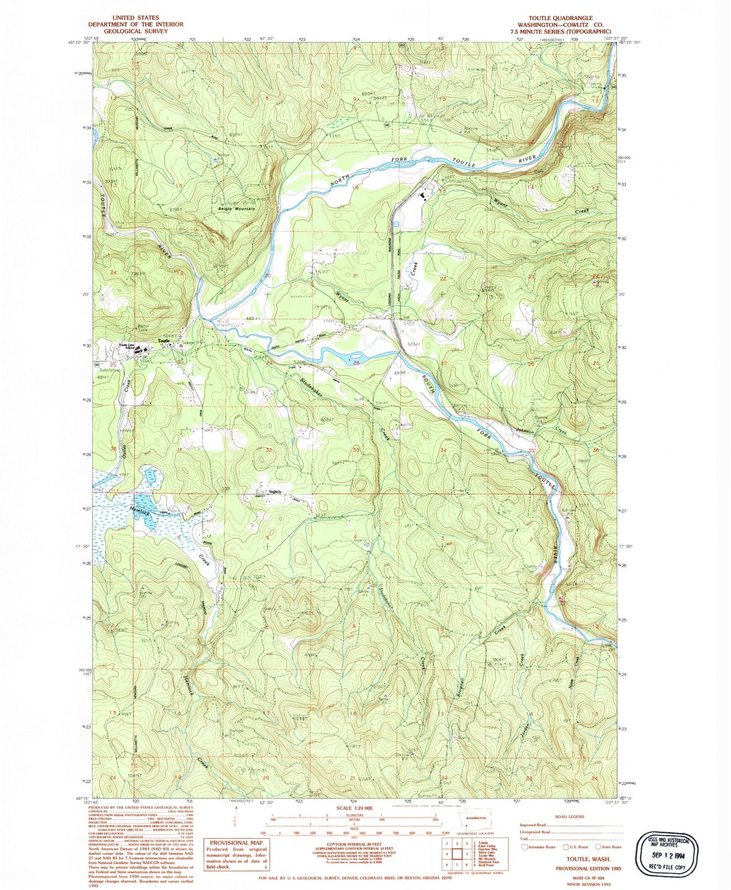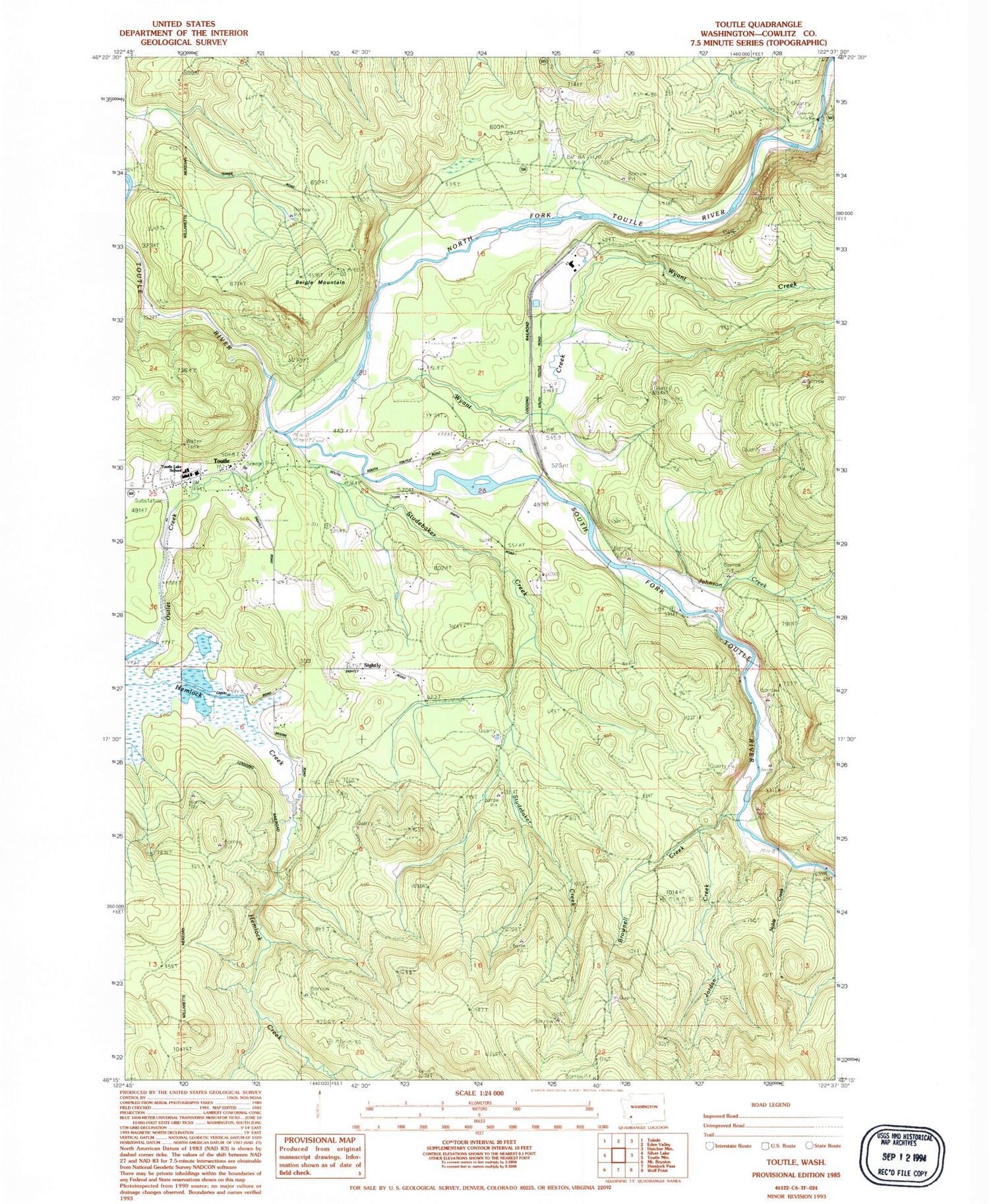
MyTopo
Classic USGS Toutle Washington 7.5'x7.5' Topo Map
Couldn't load pickup availability
Historical USGS topographic quad map of Toutle in the state of Washington. Map scale may vary for some years, but is generally around 1:24,000. Print size is approximately 24" x 27"
This quadrangle is in the following counties: Cowlitz.
The map contains contour lines, roads, rivers, towns, and lakes. Printed on high-quality waterproof paper with UV fade-resistant inks, and shipped rolled.
Contains the following named places: Beigle Mountain, Brownell Creek, Coal Bank Bridge, Cowlitz County Fire Protection District 3 Main, Hemlock Creek, Johnson Creek, Jordan Creek, Kid Valley Park, Noble Creek, North Fork Toutle River, Outlet Creek, Sightly, Silver Lake Dam, South Fork Toutle Debris Dam, South Fork Toutle River, Studebaker Creek, Toutle, Toutle Lake High School, Toutle Post Office, Wyant Creek