MyTopo
USGS Classic Tower Peak California 7.5'x7.5' Topo Map
Couldn't load pickup availability
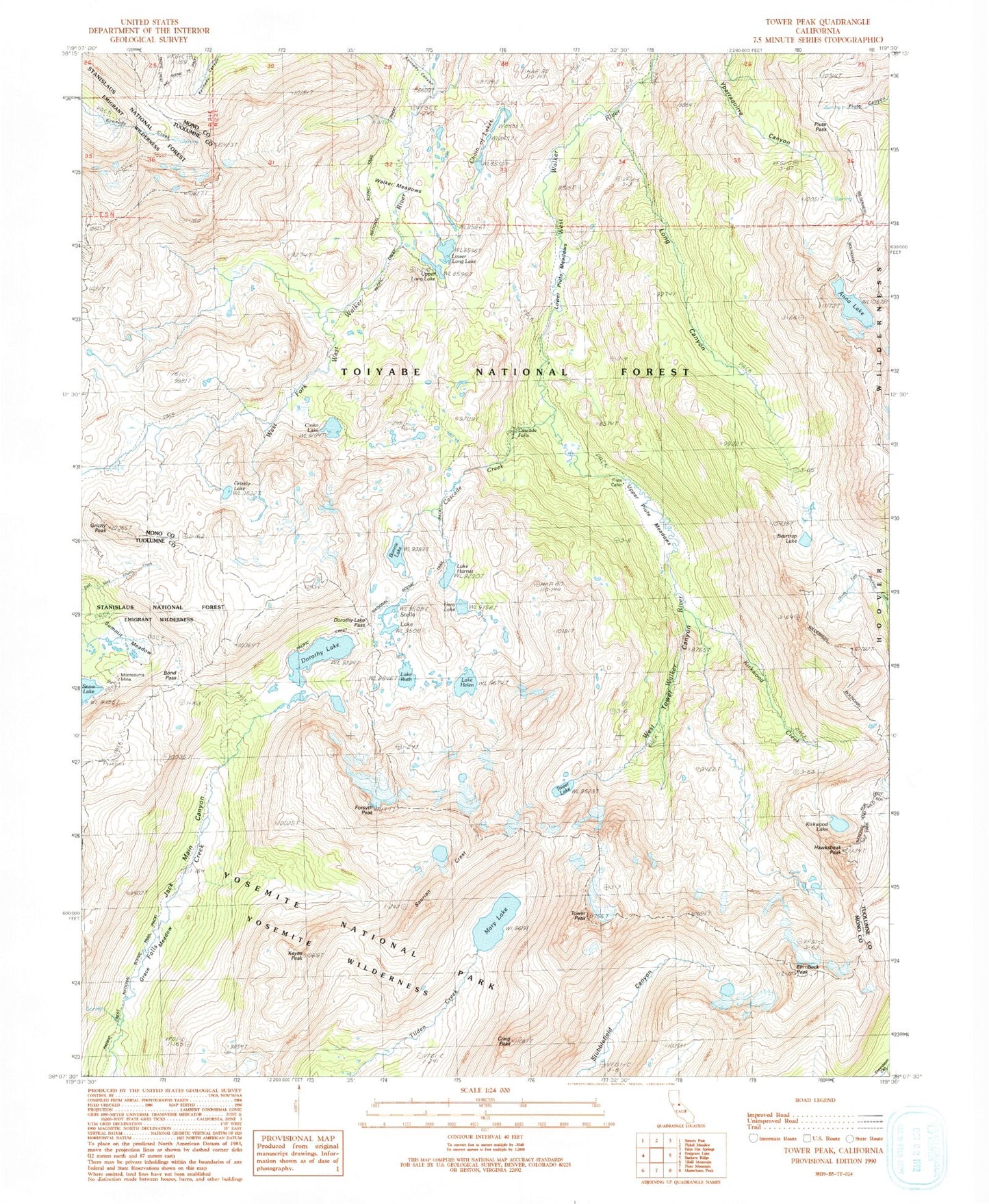
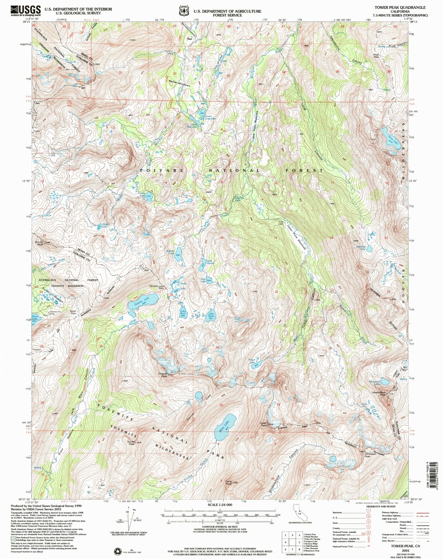
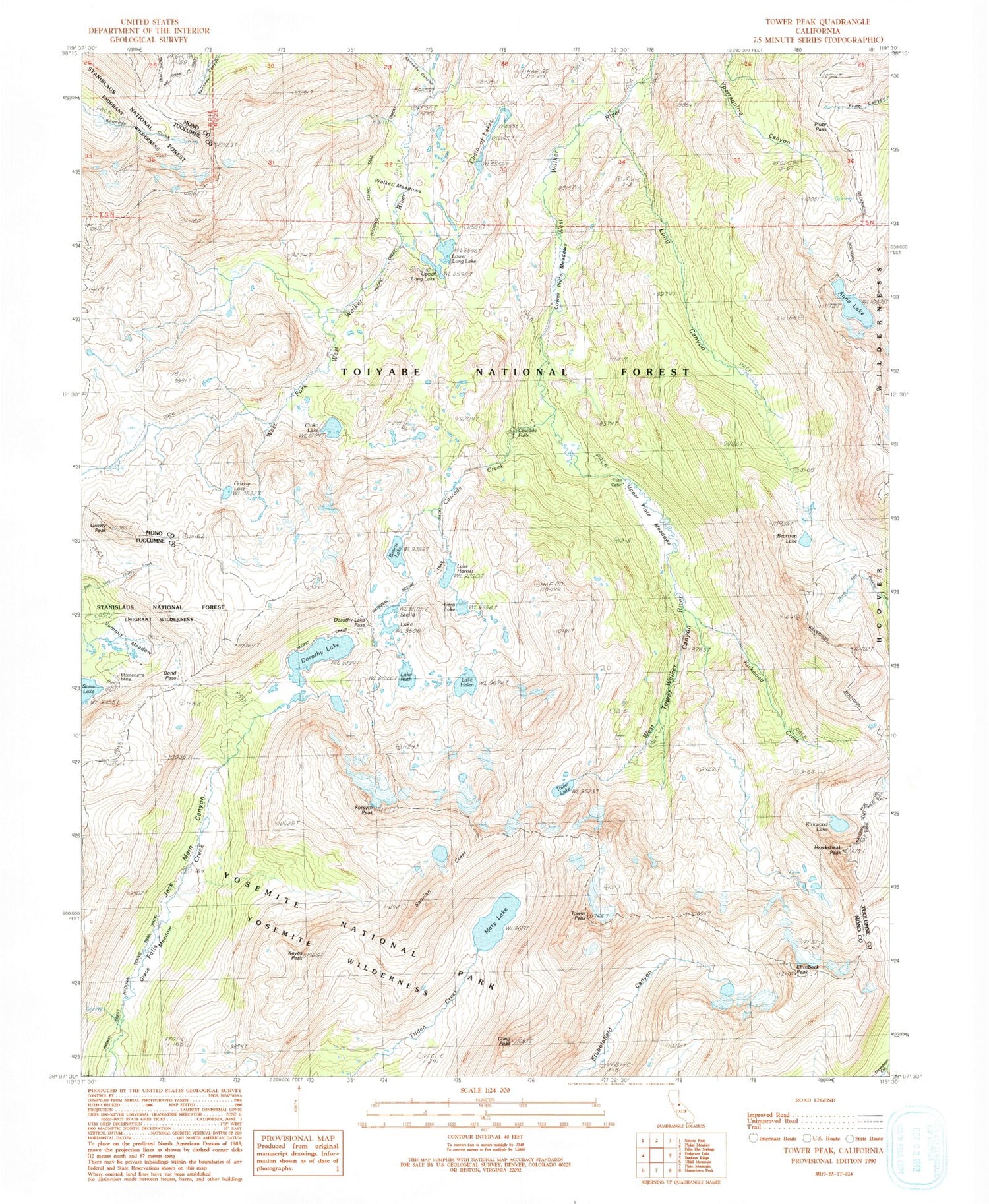
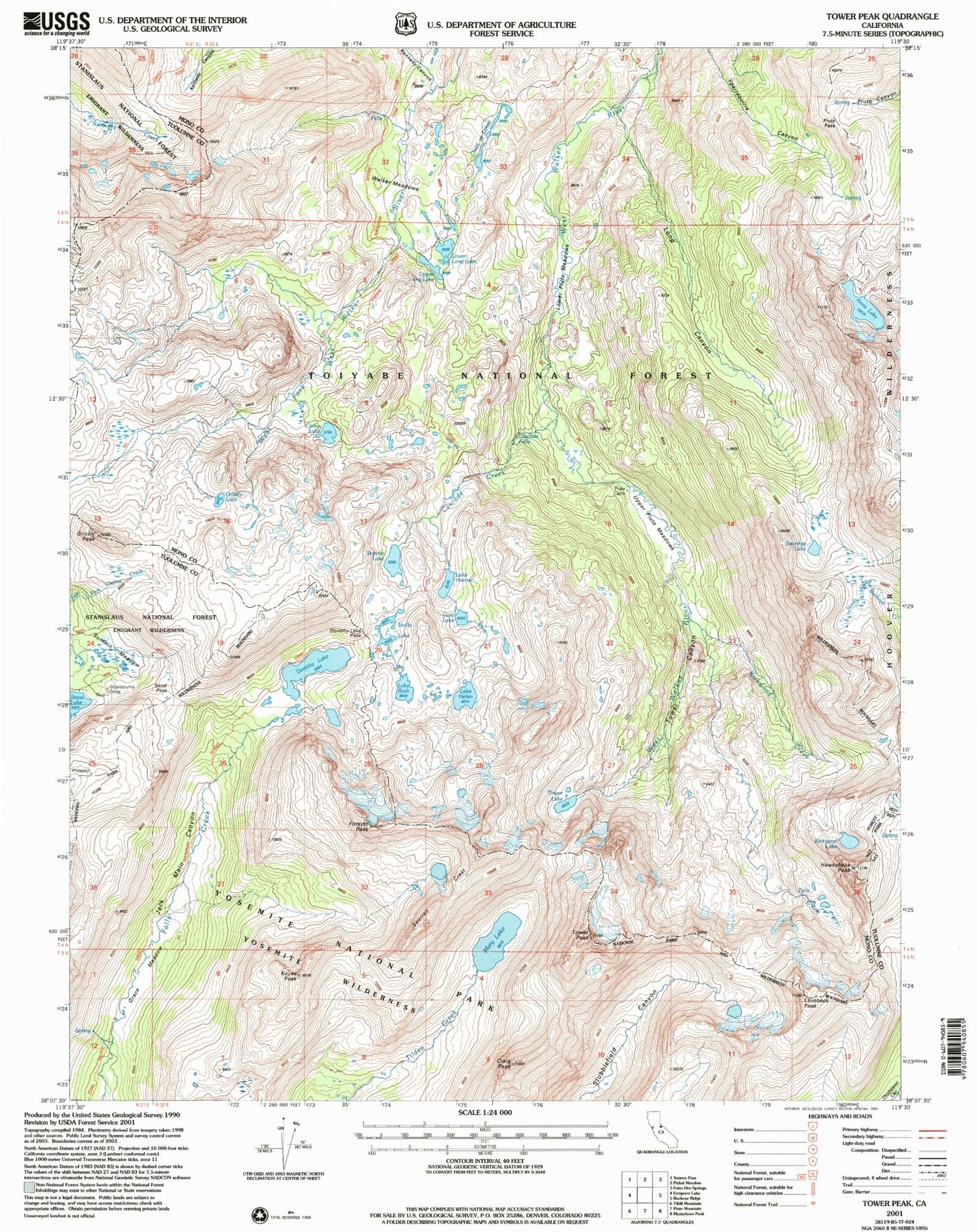
Historical USGS topographic quad map of Tower Peak in the state of California. Scale: 1:24000. Print size: 24" x 27"
This quadrangle is in the following counties: Mono, Tuolumne.
The map contains contour lines, roads, rivers, towns, lakes, and grids including latitude / longitude and UTM / MGRS. Printed on high-quality waterproof paper with UV fade-resistant inks.
Contains the following named places: Anna Lake, Beartrap Lake, Bonnie Lake, Dorothy Lake Pass, Forsyth Peak, Grace Meadow, Kirkwood Creek, Kirkwood Lake, Long Canyon, Lower Long Lake, Piute Cabin, Piute Pass, Lake Ruth, Stella Lake, Summit Meadow, Tower Canyon, Tower Lake, Upper Long Lake, Upper Piute Meadows, Walker Meadows, Tower Peak, Hawksbeak Peak, Cascade Falls, Lower Piute Meadows, Cascade Creek, Chain of Lakes, Cinko Lake, Cora Lake, Grizzly Lake, Grizzly Peak, Lake Harriet, Lake Helen, Mary Lake, Montezuma Mine, Dorothy Lake, Ehrnbeck Peak, Bond Pass, Craig Peak, Keyes Peak, Kennedy Canyon, Saurian Crest


