MyTopo
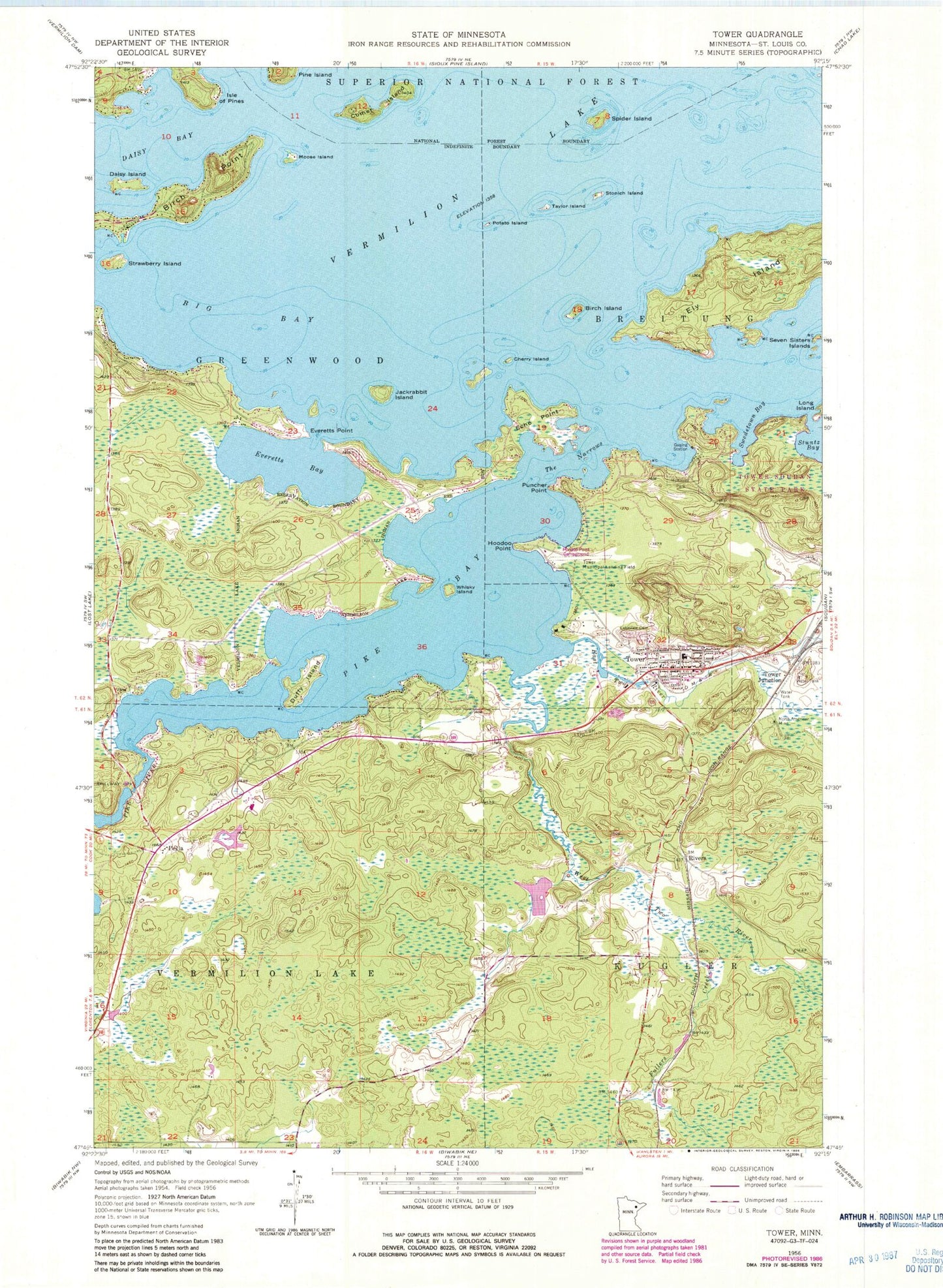
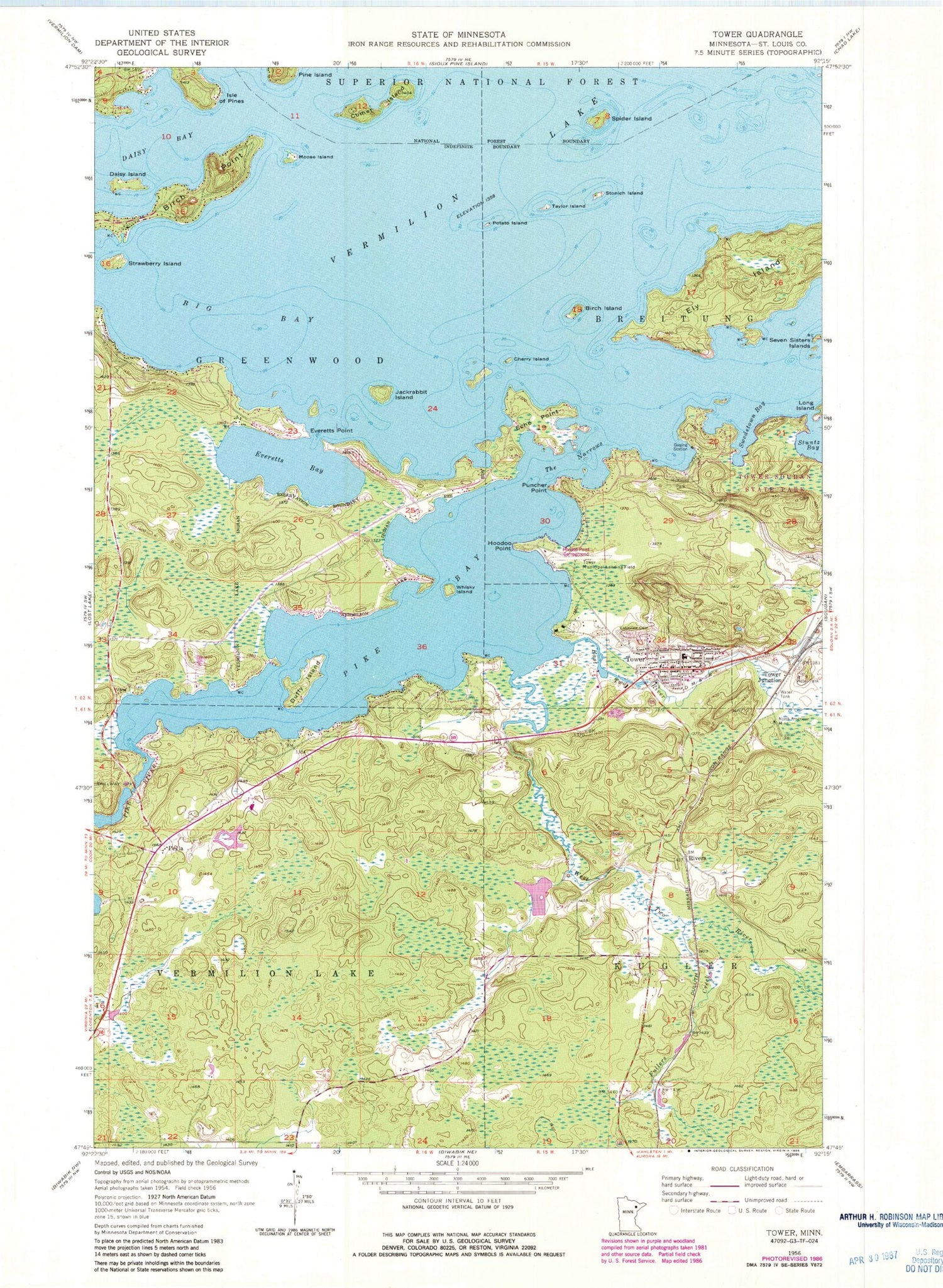
Classic USGS Tower Minnesota 7.5'x7.5' Topo Map
Couldn't load pickup availability
Historical USGS topographic quad map of Tower in the state of Minnesota. Typical map scale is 1:24,000, but may vary for certain years, if available. Print size: 24" x 27"
This quadrangle is in the following counties: St. Louis.
The map contains contour lines, roads, rivers, towns, and lakes. Printed on high-quality waterproof paper with UV fade-resistant inks, and shipped rolled.
Contains the following named places: President McKinley Point of Interest, Pike River Falls, Tower Municipal Airport, Irons Point Seaplane Base, Big Bay, Birch Island, Birch Point, Cherry Island, Comet Island, Daisy Bay, Daisy Island, Duffy Island, East Two River, Echo Point, Ely Island, Everetts Bay, Everetts Point, Fullers Creek, Hoodoo Point, Isle of Pines, Jackrabbit Island, Lakeview Cemetery, McKinley Park, Moose Island, North American Mine, Peyla, Pike Bay, Pike River, Potato Island, Puncher Point, Rivers, Spider Island, Stonich Island, Strawberry Island, Swedetown Bay, Taylor Island, The Narrows, Tower, Tower Junction, Tower Park, Soudan Underground Mine State Park, West Two River, Whisky Island, Township of Vermilion Lake, Pike River Dam, Pike River Lake, Peyla Post Office (historical), Carson Lake Post Office (historical), Carson Station, Vermilion Lake Segment, The Wilderness Golf Course, Bois Forte Heritage Center, Tower Station (historical), Tower Post Office, Tower Volunteer Fire Department, Duluth Clinic-Tower, Tower-Soudan Junior-Senior High School, Tower City Hall, Tower Police Department, Hoodoo Point Campground, Saint Martins Catholic Church, Saint James Presbyterian Church, Immaculate Lutheran Church, Tower Wayside Park, First Iron Mine Historical Marker, Tower Historical Marker, Old Vermilion Trail and Winton City Historical Marker, City of Tower, Tower Area Volunteer Ambulance Service


