MyTopo
Classic USGS Towlesville New York 7.5'x7.5' Topo Map
Couldn't load pickup availability
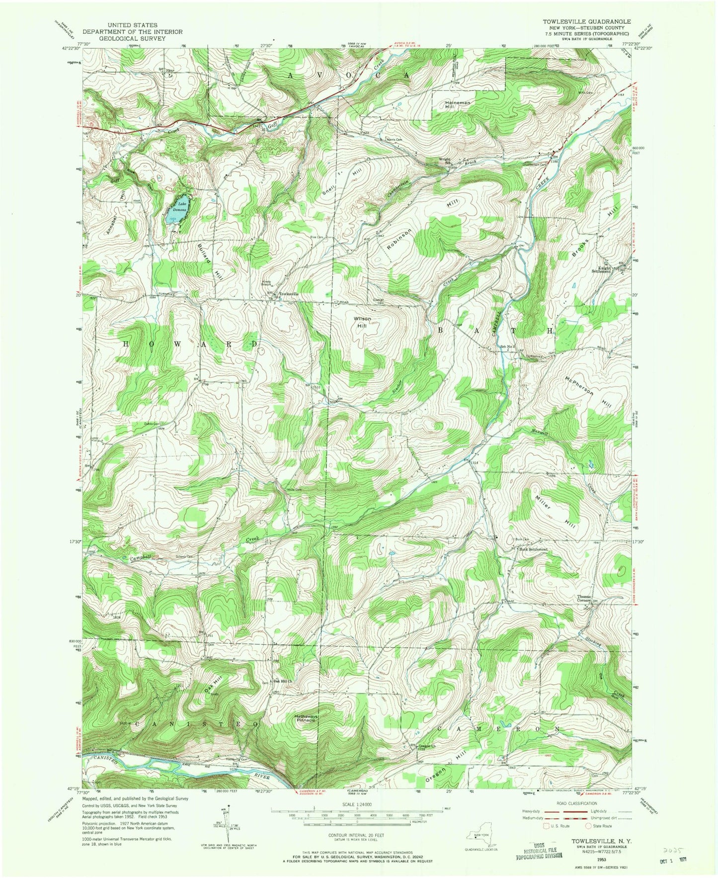
Historical USGS topographic quad map of Towlesville in the state of New York. Map scale may vary for some years, but is generally around 1:24,000. Print size is approximately 24" x 27"
This quadrangle is in the following counties: Steuben.
The map contains contour lines, roads, rivers, towns, and lakes. Printed on high-quality waterproof paper with UV fade-resistant inks, and shipped rolled.
Contains the following named places: Annabel Hill, Bath Landfill, Brooks Hill, Buck Cemetery, Buck Settlement, Bullard Hill, Chamberlain Brook, Chamberlain Cemetery, Dickinsons Airfield, Dublin Cemetery, Durnian Cemetery, Gaskin's Hilltop Airport, Hadleyville Cemetery, Hathaways Pinnacle, Heineman Hill, Knight Settlement, Lake Demons, Maxwell Creek, McPherson Hill, Miller Hill, Mud Hollow, Norris Cemetery, Oak Hill, Oak Hill Cemetery, Oak Hill Church, Oregon Church, Oregon Hill, Rainbow Bridge Creek, Rice Cemetery, Rice Glen, Robinson Hill, Ross Cemetery, Scherer Cemetery, School Number 3, Sinclair Creek, Snell Hill, Steuben County, The Church of Jesus Christ of Latter Day Saints, Thomas Corners, Towlesville, Victory Baptist Academy, WCIK-FM (Bath), White Cemetery, Willis Cemetery, Wilson Hill, Wright School


