MyTopo
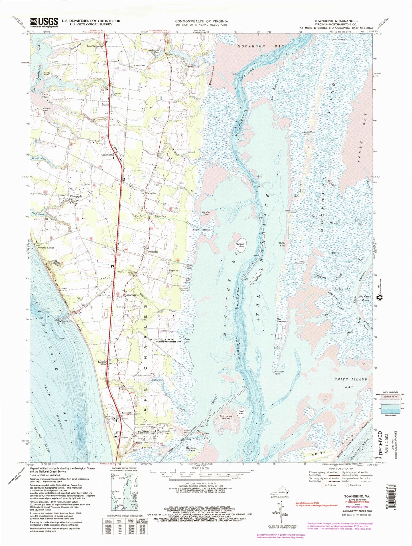
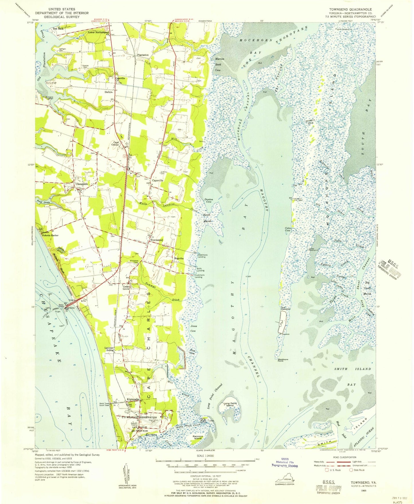
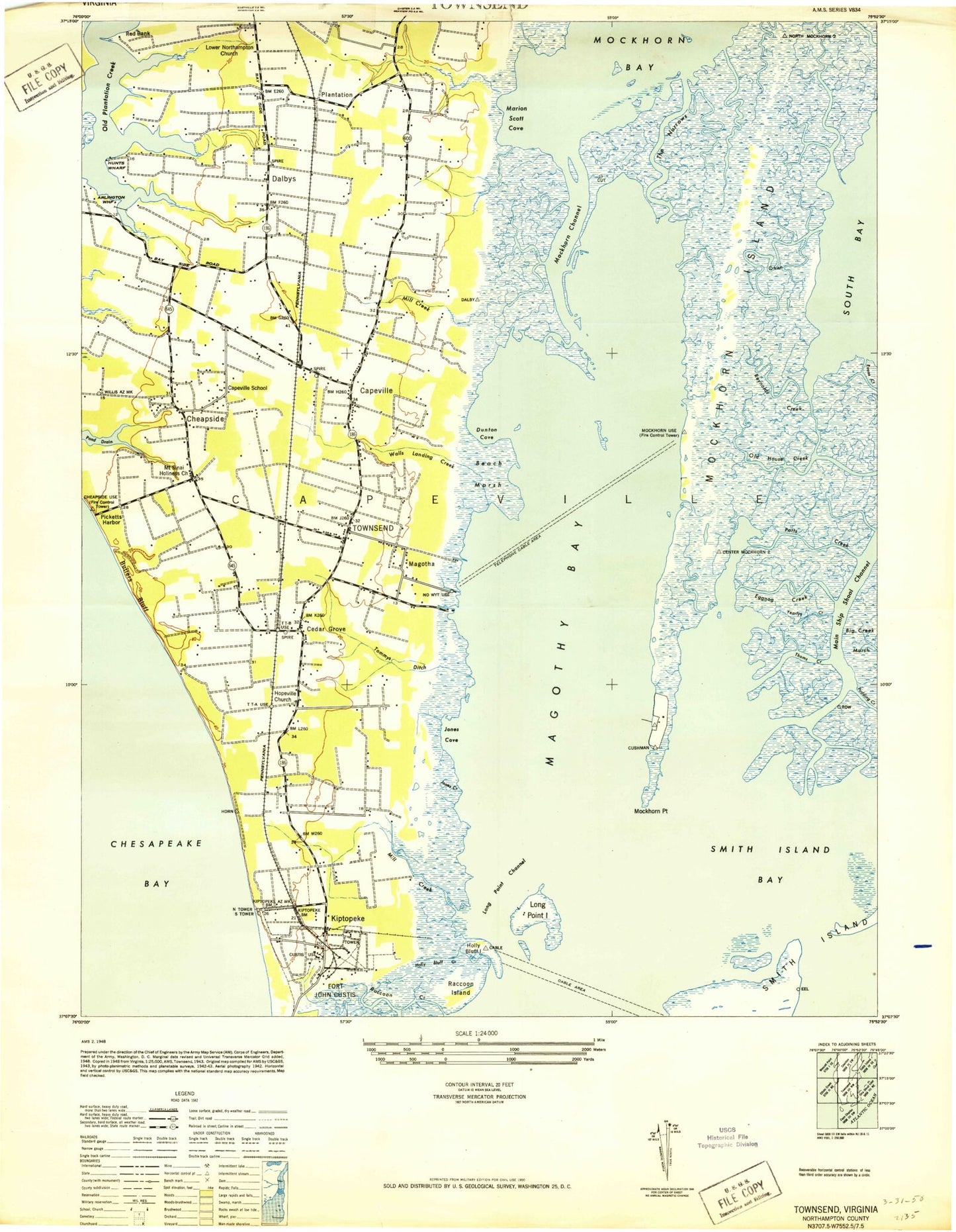
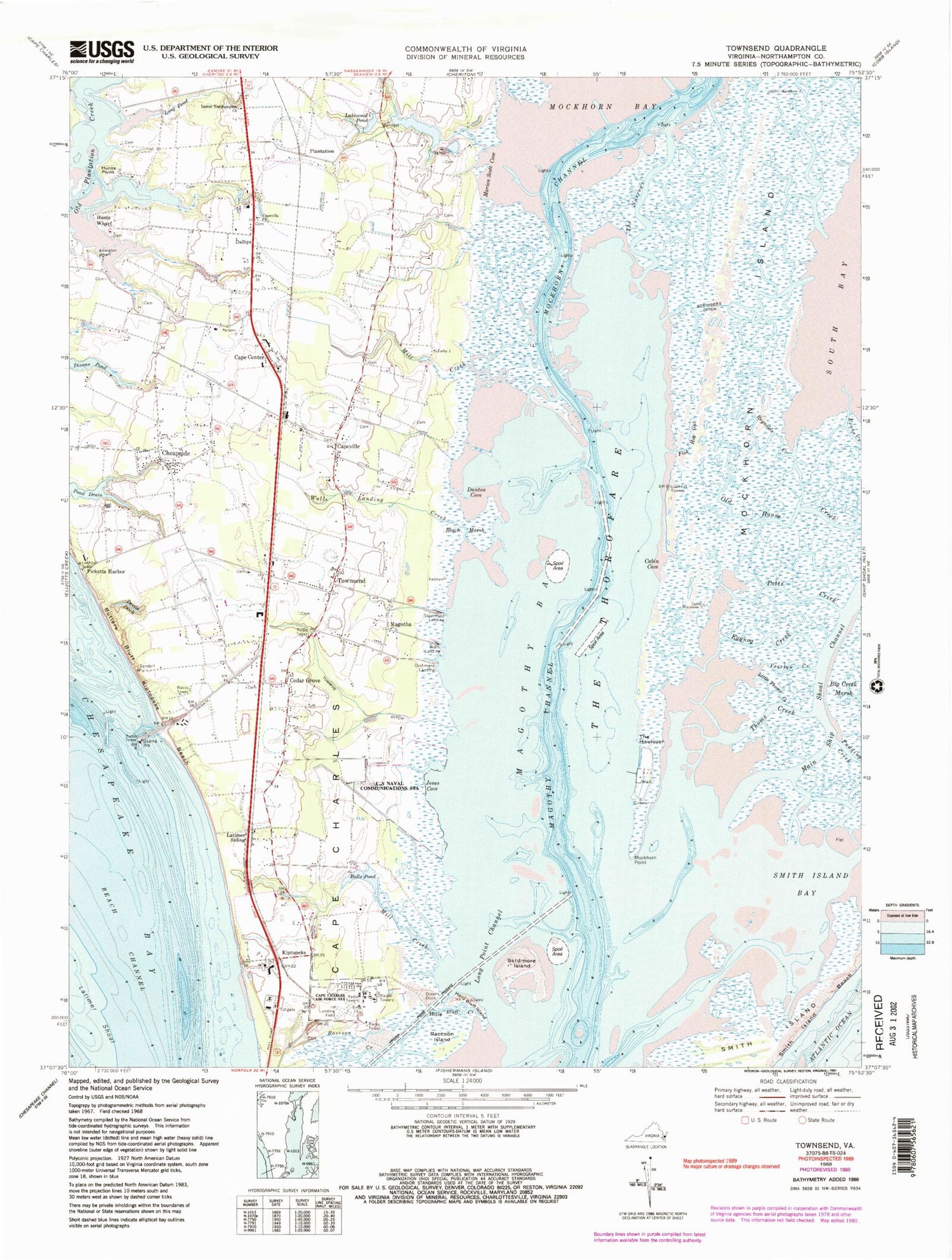
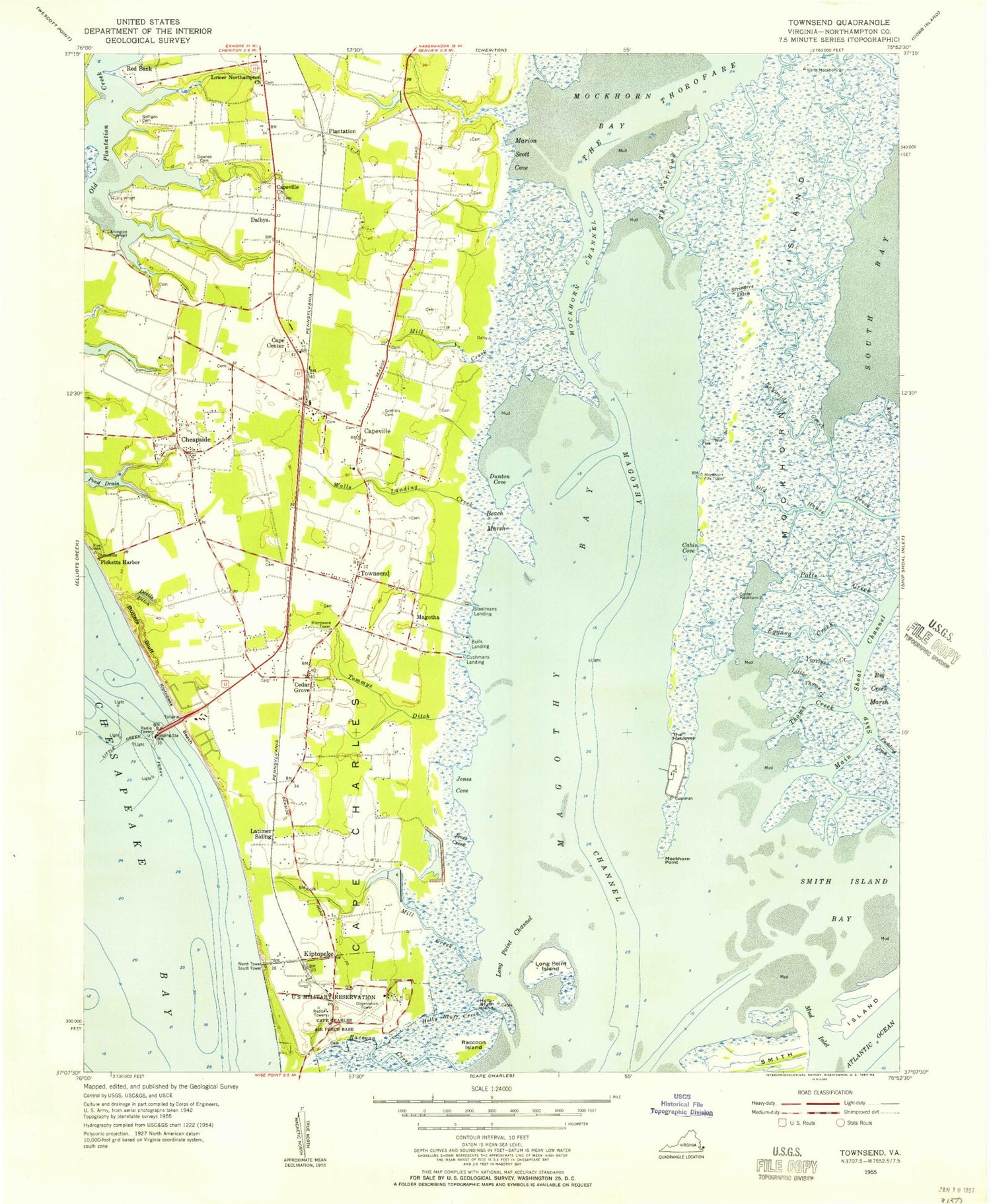
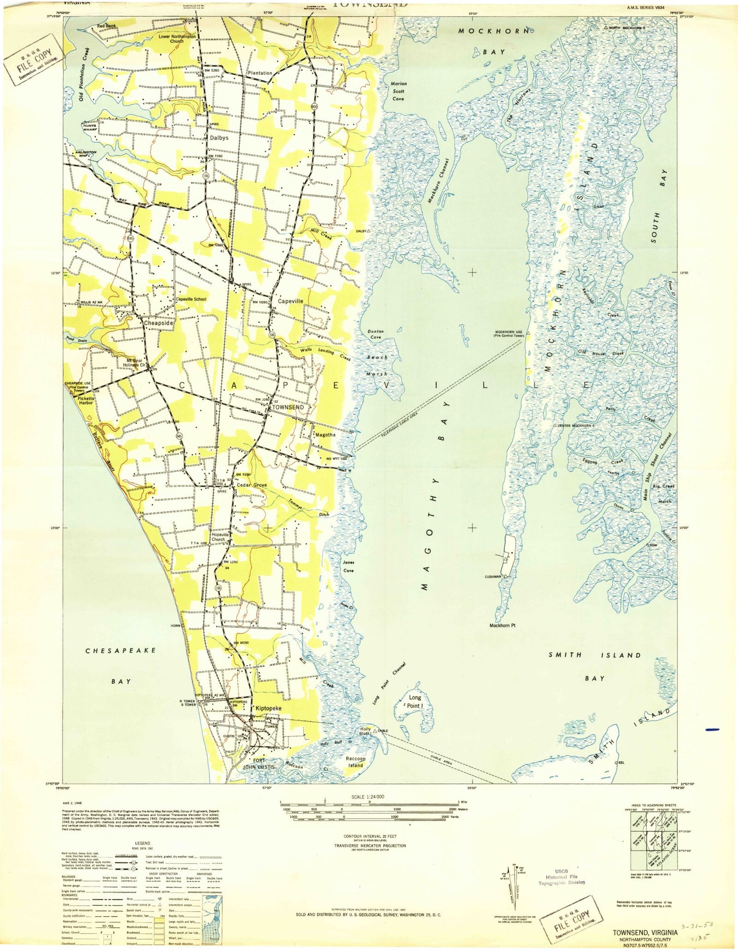
Classic USGS Townsend Virginia 7.5'x7.5' Topo Map
Couldn't load pickup availability
Historical USGS topographic quad map of Townsend in the state of Virginia. Typical map scale is 1:24,000, but may vary for certain years, if available. Print size: 24" x 27"
This quadrangle is in the following counties: Northampton.
The map contains contour lines, roads, rivers, towns, and lakes. Printed on high-quality waterproof paper with UV fade-resistant inks, and shipped rolled.
Contains the following named places: Arlington Wharf, Beach Channel, Beach Marsh, Bulls Dock, Bulls Pond, Butlers Bluff, Cabin Cove, Cape Center, Cape Charles, Capeville Church, Devils Ditch, Dixons Dock, Dixons Pond, Dunton Cove, Eggnog Creek, Fish Hog Gut, Holly Bluff Creek, Holly Bluff Island, Hunts Point, Hunts Wharf, Jones Cove, Kiptopeke Beach, Lakewood Pond, Latimer Shoal, Latimer Siding, Little Thoms Creek, Long Point Channel, Lower Northampton Church, Magothy Bay, Marion Scott Cove, McGothy Channel, Mill Creek, Mill Creek, Mockhorn Channel, Mockhorn Island, Mockhorn Point, Old House Creek, Picketts Harbor, Plantation, Potts Creek, Raccoon Island, Reynolds Creek, The Thorofare, Yearlys Creek, Skidmore Island, Smith Island Bay, Smith Island Beach, Stringers Ditch, The Haulover, The Narrows, Thoms Creek, Tommys Ditch, Townsend, Walls Landing Creek, Magothy Channel, Capeville, Magotha, Red Bank, Long Dam, Long Pond, Goffigon Dam, Scott Farm Strip, Bull Farm Airport, Bulls Landing, Cedar Grove, Cheapside, Cushmans Landing, Dalbys, Kiptopeke, Steelmans Landing, Capeville Elementary School, Capeville Methodist Church, Capeville Post Office, Magothy Bay Church, Townsend Post Office, District 1, Cape Charles Air Force Station (historical), Starbase Airport, Picketts Harbor Farms, Yaros Farms, Eastern Shore of Virginia National Wildlife Refuge, Chesapeake Bay Bridge - Tunnel Police Department, Arlington Wharf, Beach Channel, Beach Marsh, Bulls Dock, Bulls Pond, Butlers Bluff, Cabin Cove, Cape Center, Cape Charles, Capeville Church, Devils Ditch, Dixons Dock, Dixons Pond, Dunton Cove, Eggnog Creek, Fish Hog Gut, Holly Bluff Creek, Holly Bluff Island, Hunts Point, Hunts Wharf, Jones Cove, Kiptopeke Beach, Lakewood Pond, Latimer Shoal, Latimer Siding, Little Thoms Creek, Long Point Channel, Lower Northampton Church, Magothy Bay, Marion Scott Cove, McGothy Channel, Mill Creek, Mill Creek, Mockhorn Channel, Mockhorn Island, Mockhorn Point, Old House Creek, Picketts Harbor, Plantation, Potts Creek, Raccoon Island, Reynolds Creek, The Thorofare, Yearlys Creek, Skidmore Island, Smith Island Bay, Smith Island Beach, Stringers Ditch, The Haulover, The Narrows, Thoms Creek, Tommys Ditch, Townsend, Walls Landing Creek, Magothy Channel, Capeville, Magotha, Red Bank, Long Dam, Long Pond, Goffigon Dam, Scott Farm Strip, Bull Farm Airport, Bulls Landing, Cedar Grove, Cheapside, Cushmans Landing, Dalbys, Kiptopeke, Steelmans Landing, Capeville Elementary School, Capeville Methodist Church, Capeville Post Office, Magothy Bay Church, Townsend Post Office, District 1, Cape Charles Air Force Station (historical), Starbase Airport, Picketts Harbor Farms, Yaros Farms, Eastern Shore of Virginia National Wildlife Refuge, Chesapeake Bay Bridge - Tunnel Police Department
