MyTopo
Classic USGS Townshend Vermont 7.5'x7.5' Topo Map
Couldn't load pickup availability
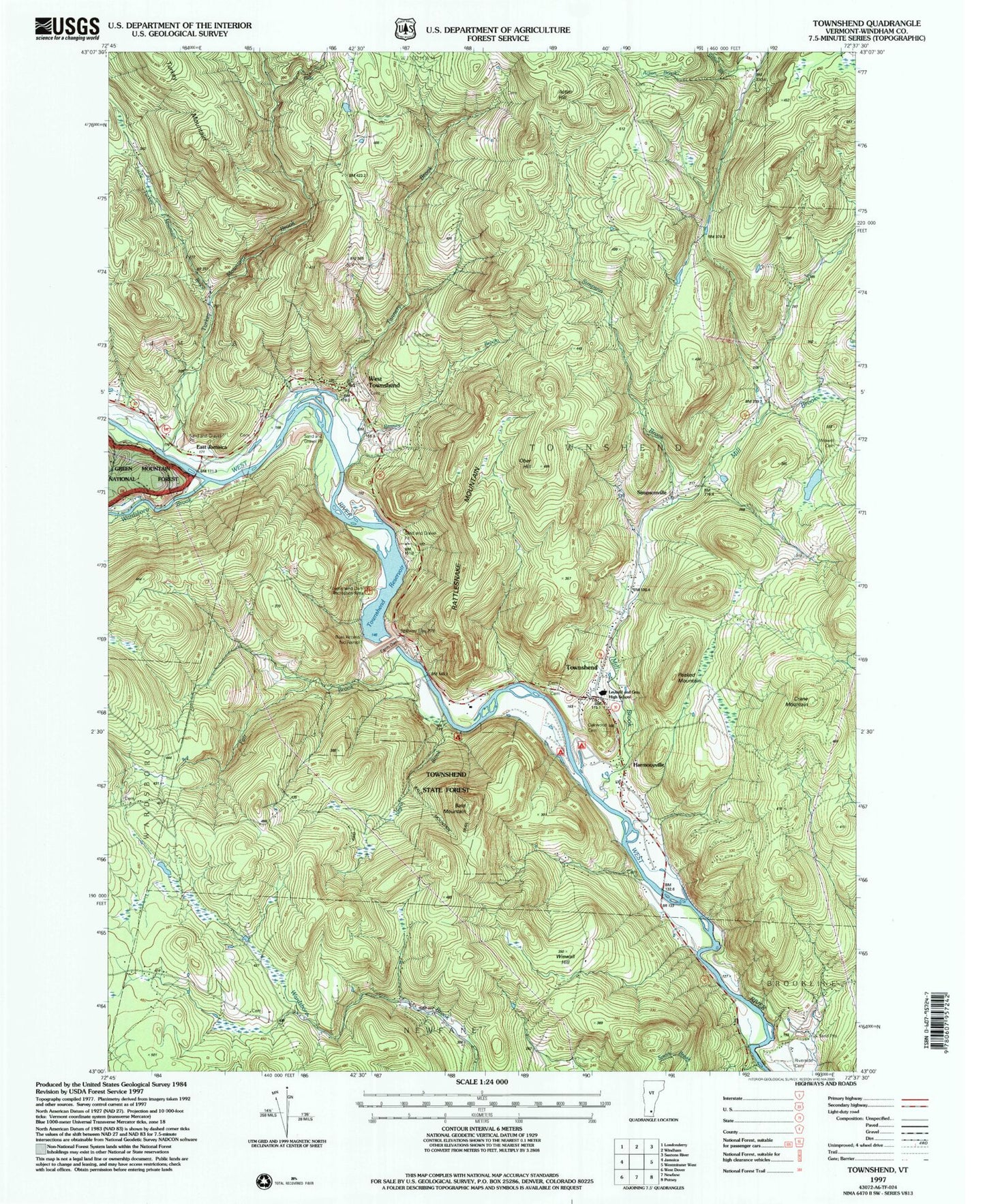
Historical USGS topographic quad map of Townshend in the state of Vermont. Typical map scale is 1:24,000, but may vary for certain years, if available. Print size: 24" x 27"
This quadrangle is in the following counties: Windham.
The map contains contour lines, roads, rivers, towns, and lakes. Printed on high-quality waterproof paper with UV fade-resistant inks, and shipped rolled.
Contains the following named places: Acton Brook, Acton Hill, Bald Mountain, Crane Mountain, East Jamaica, Fair Brook, Harmonyville, Little Turkey Mountain Brook, Mill Brook, Negro Brook, Ober Hill, Peaked Mountain, Ranney Brook, Rattlesnake Mountain, Riverside Cemetery, Simpson Brook, Simpsonville, Taft Cemetery, Tannery Brook, Townshend, Townshend State Forest, Turkey Mountain Brook, Wardsboro Brook, Wardsboro Brook, West Townshend, Wiswell Cemetery, Wiswall Hill, Townshend Dam, Onyon Airport, Town of Townshend, Townshend Dam, Townshend Reservoir, Acton Cemetery, Bald Mountain Campground, Calvary Chapel, Camperama Family Campground, East Jamaica Cemetery, Fessenden Cemetery, Fisher Cemetery, Holland - Brigham - Bixby Cemetery, Howe - East Jamaica Cemetery, Leland and Gray Union Middle and High School, Leland and Gray Seminary (historical), Maple Grove Cemetery, Oakwood Cemetery, Round Hill Cemetery, Sanderson Burial Plot, Scott Covered Bridge, Simpsonville Stone Arch Bridge, Townshend Dam Recreation Area, Townshend Post Office, Twitchell Cemetery, Wardsboro Road Cemetery, West Townshend Stone Arch Bridge, West Townshend Village Historic District, West Townshend Post Office, Grace Cottage Hospital, Townshend Volunteer Fire Department, Valley Ridge Student Center, Townshend Elementary School, Rescue Incorporated Ambulance Service, Harmonyville Census Designated Place, Townshend Census Designated Place


