MyTopo
Classic USGS Toy Pass Idaho 7.5'x7.5' Topo Map
Regular price
$16.95
Regular price
Sale price
$16.95
Unit price
per
Couldn't load pickup availability
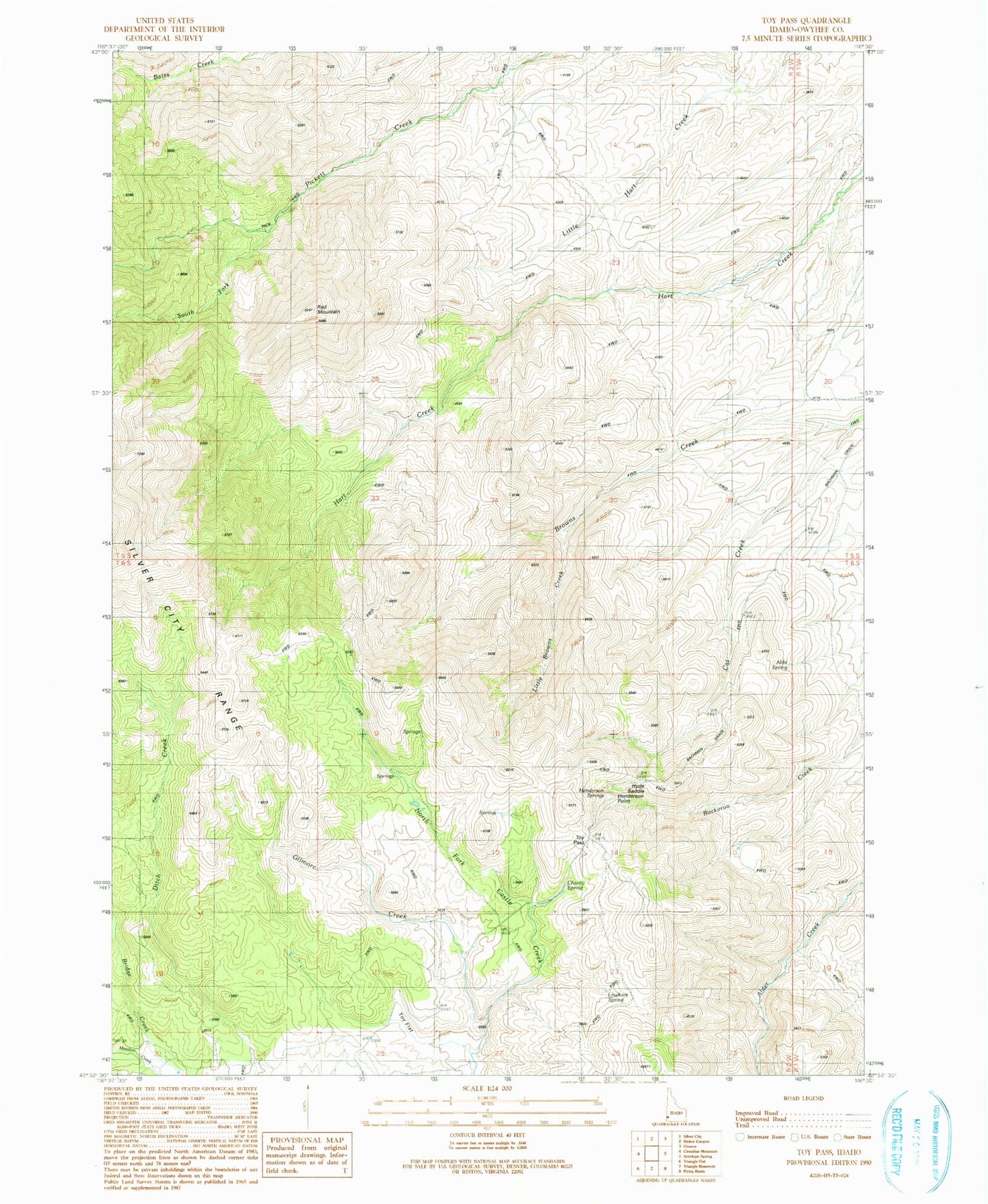
Historical USGS topographic quad map of Toy Pass in the state of Idaho. Map scale may vary for some years, but is generally around 1:24,000. Print size is approximately 24" x 27"
This quadrangle is in the following counties: Owyhee.
The map contains contour lines, roads, rivers, towns, and lakes. Printed on high-quality waterproof paper with UV fade-resistant inks, and shipped rolled.
Contains the following named places: Alibi Spring, Cat Creek, Charity Spring, Gilmore Creek, Henderson Point, Henderson Springs, Hyde Saddle, Lineham Spring, Little Browns Creek, Red Mountain, South Fork Pickett Creek, Toy Flat, Toy Pass