MyTopo
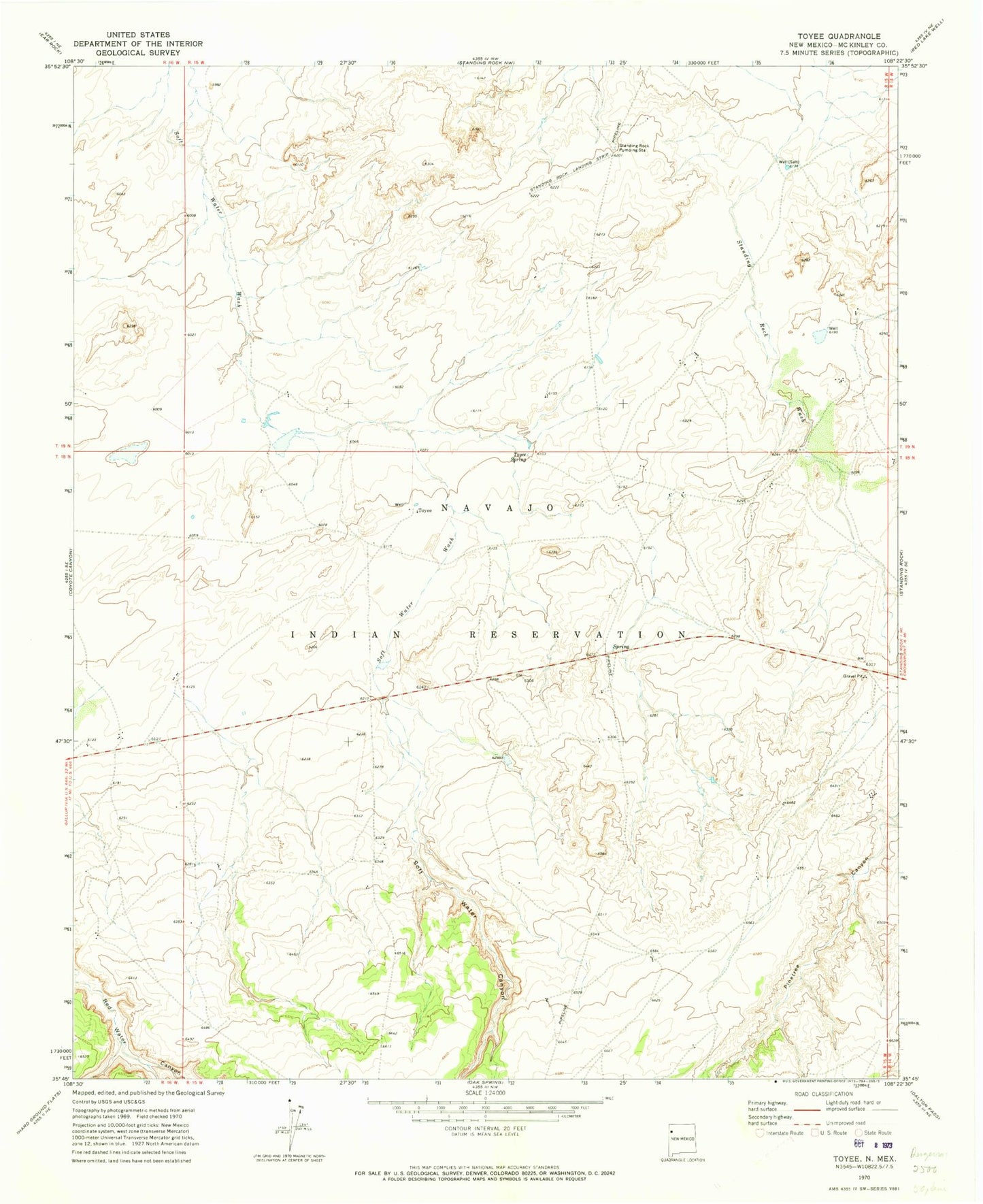
Classic USGS Toyee New Mexico 7.5'x7.5' Topo Map
Regular price
$16.95
Regular price
Sale price
$16.95
Unit price
per
Couldn't load pickup availability
Historical USGS topographic quad map of Toyee in the state of New Mexico. Map scale may vary for some years, but is generally around 1:24,000. Print size is approximately 24" x 27"
This quadrangle is in the following counties: McKinley.
The map contains contour lines, roads, rivers, towns, and lakes. Printed on high-quality waterproof paper with UV fade-resistant inks, and shipped rolled.
Contains the following named places: 10021 Water Well, 14A-81 Water Well, 14T-579 Water Well, Black Mesa Canyon, Chas Damon Water Well, Coal Well Canyon, Deadman Canyon, Dog Spring Canyon, Soft Water Canyon, Standing Rock Pumping Station, Toyee, Toyee Spring