MyTopo
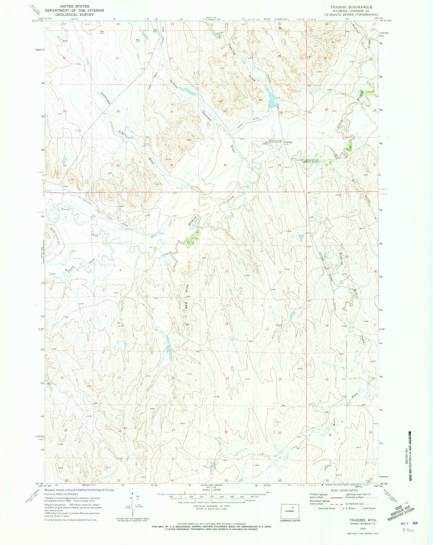
Classic USGS Trabing Wyoming 7.5'x7.5' Topo Map
Couldn't load pickup availability
Historical USGS topographic quad map of Trabing in the state of Wyoming. Map scale may vary for some years, but is generally around 1:24,000. Print size is approximately 24" x 27"
This quadrangle is in the following counties: Johnson.
The map contains contour lines, roads, rivers, towns, and lakes. Printed on high-quality waterproof paper with UV fade-resistant inks, and shipped rolled.
Contains the following named places: Baker Number 1 Reservoir, Bozeman Trail Historical Marker, Colorado Flats Draw, Crazy Woman Battlefield Historical Mark, Dry Gulch, Johnson County, Lewis Draw, Mitchell and Long Ditch, Red Hills, School Section Draw, Smith Ditch, Smith Number 1 Dam, Smith Reservoir Number 1, South Fork Crazy Woman Creek, Trabing, Trabing Dam, Trabing Draw, Trabing Dry Creek, Trabing Reservoir, Wallows Creek, West Fork Trabing Dry Creek, Zezas Dam, Zezas Reservoir