MyTopo
Classic USGS Tracy Mountain North Dakota 7.5'x7.5' Topo Map
Regular price
$16.95
Regular price
Sale price
$16.95
Unit price
per
Couldn't load pickup availability
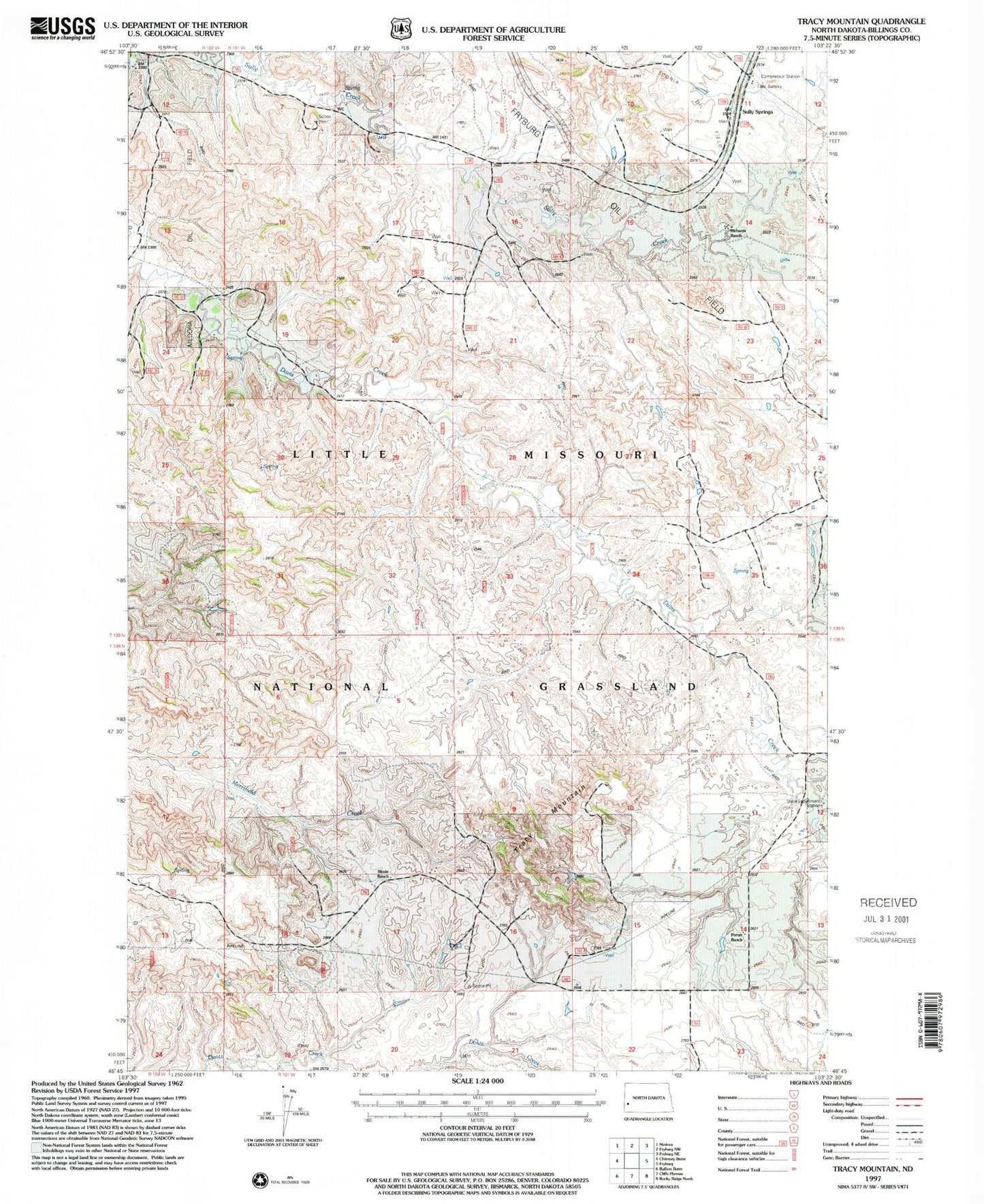
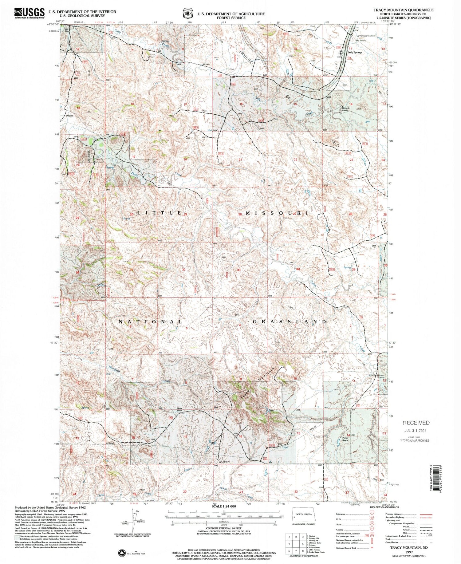
Historical USGS topographic quad map of Tracy Mountain in the state of North Dakota. Map scale may vary for some years, but is generally around 1:24,000. Print size is approximately 24" x 27"
This quadrangle is in the following counties: Billings.
The map contains contour lines, roads, rivers, towns, and lakes. Printed on high-quality waterproof paper with UV fade-resistant inks, and shipped rolled.
Contains the following named places: Custer Initial Rock and Campsite, J O Connell Ranch, Porter Ranch, Ray Ranch, Scoria Oil Field, Sully Springs, Tracy Mountain, Unorganized Territory of South Billings