MyTopo
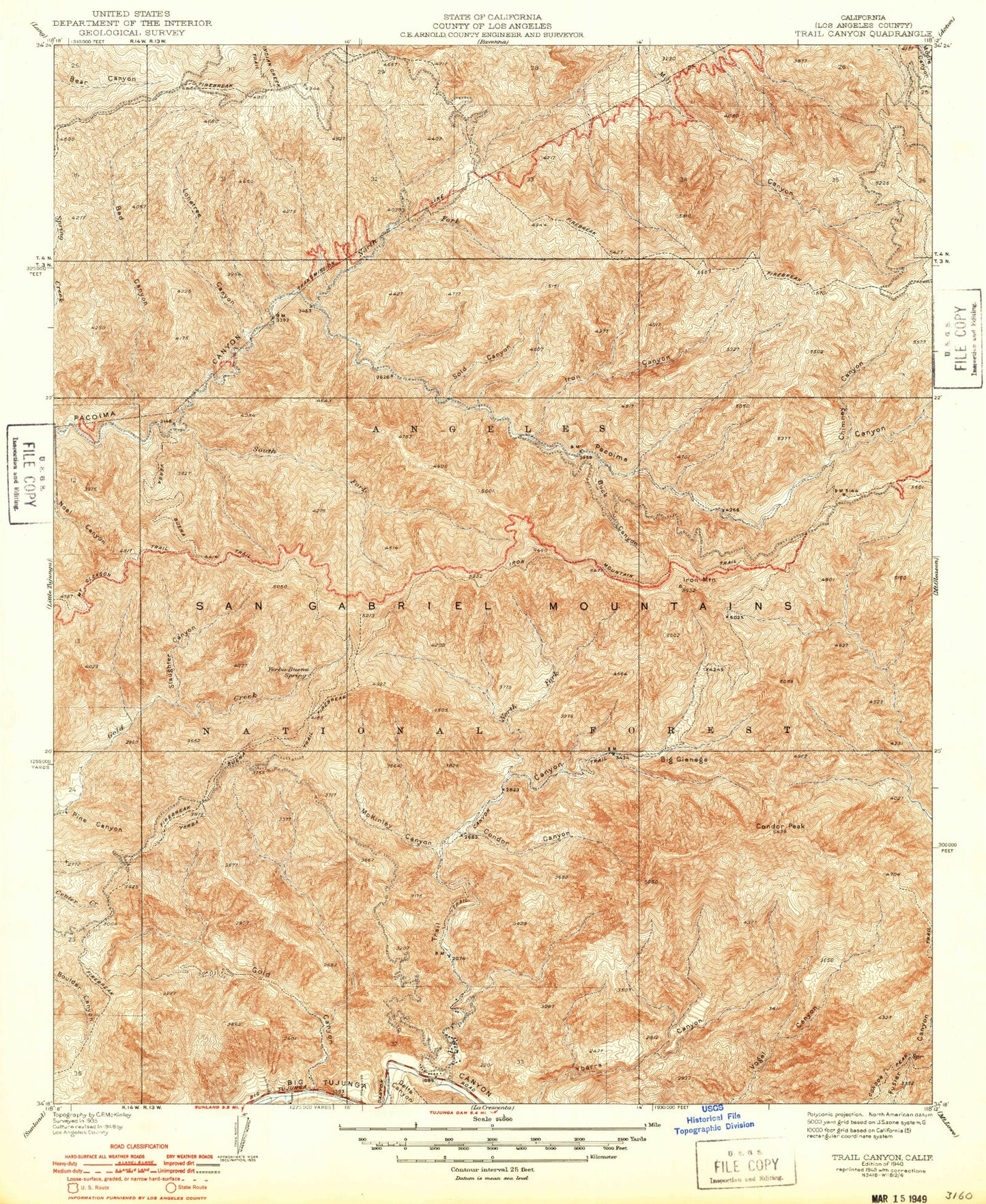
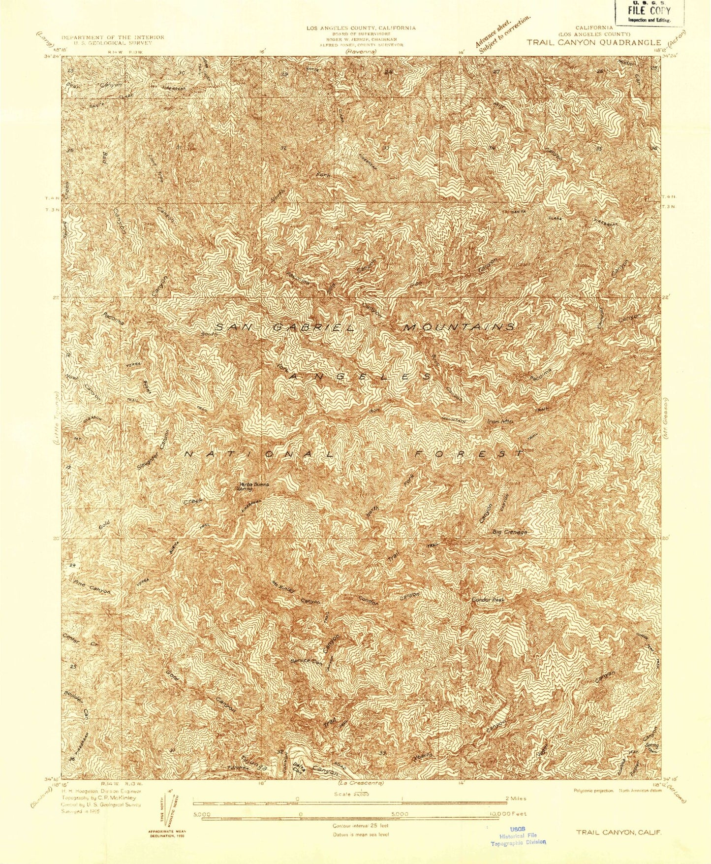
Classic USGS Trail Canyon California 7.5'x7.5' Topo Map
Couldn't load pickup availability
Historical USGS topographic quad map of Trail Canyon in the state of California. Typical map scale is 1:24,000, but may vary for certain years, if available. Print size: 24" x 27"
This quadrangle is in the following counties: Los Angeles.
The map contains contour lines, roads, rivers, towns, and lakes. Printed on high-quality waterproof paper with UV fade-resistant inks, and shipped rolled.
Contains the following named places: Bad Canyon, Bryant Canyon, Condor Canyon, Diamond Campground, Gold Canyon, Gold Canyon Saddle, Gold Canyon Trail, Gold Creek Saddle, Iron Mountain Saddle, Lonetree Canyon, McKinley Canyon, Mount McKinley, Mendenhall Ridge, North Fork Pacoima Canyon, Perspiration Point, Pine Canyon, Slaughter Canyon, Sold Canyon, South Fork Pacoima Canyon, Trail Canyon, Yerba Buena Ridge, Yerba Buena Spring, Yerba Buena Trail, Big Cienega, Buck Canyon, Chimney Canyon, Indian Ben Saddle, Iron Canyon, Iron Mountain, North Fork Trail Canyon, Tom Lucas Campground, Big Cienega Trail Camp, Delta Flat Picnic Area, Vista Point, North Fork Saddle Station, Iron Target Shooting Area, North Fork Saddle Picnic Area, Condor Peak, Magnetic Springs