MyTopo
Classic USGS Tranquility New Jersey 7.5'x7.5' Topo Map
Couldn't load pickup availability
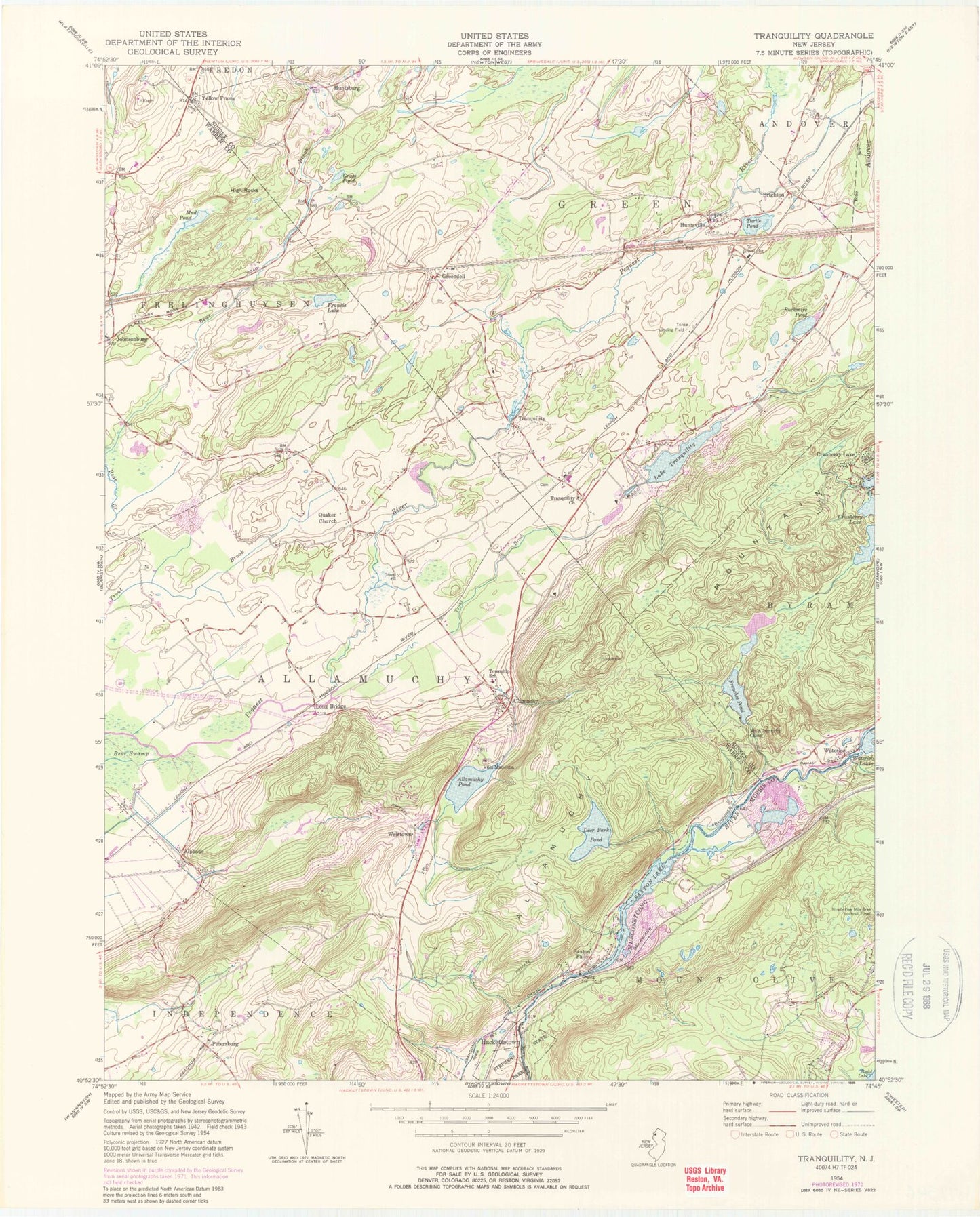
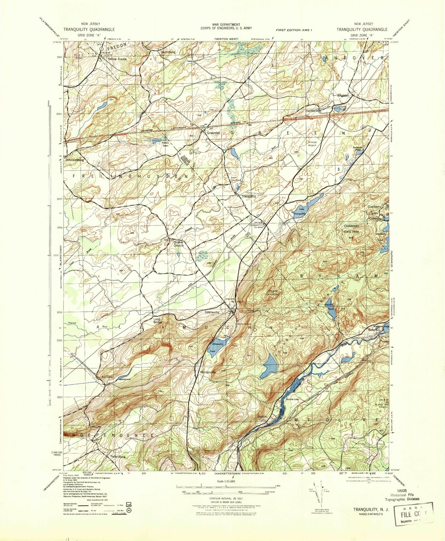
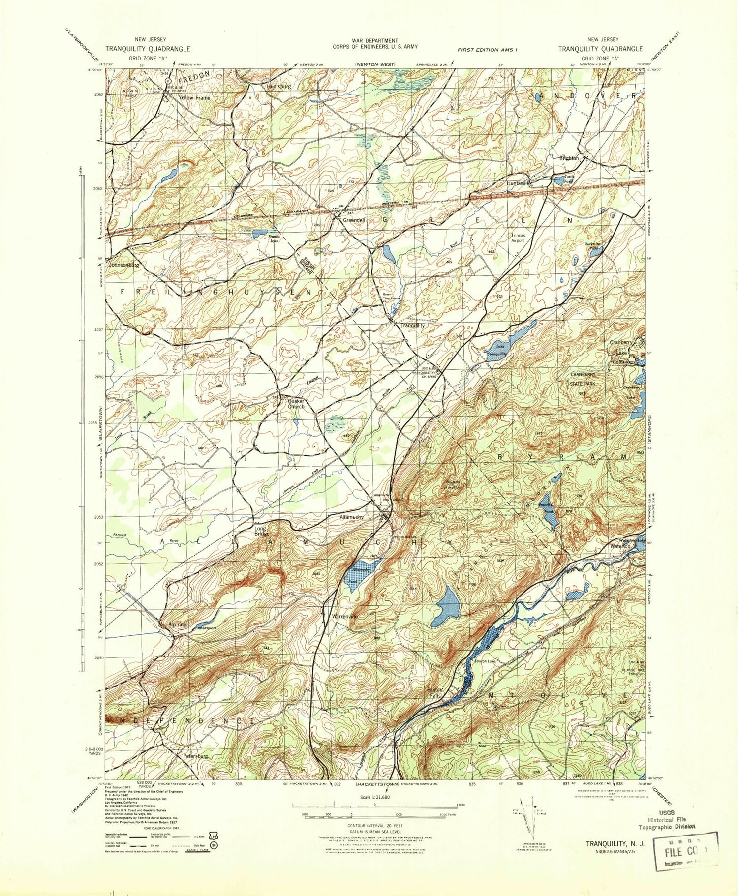
Historical USGS topographic quad map of Tranquility in the state of New Jersey. Typical map scale is 1:24,000, but may vary for certain years, if available. Print size: 24" x 27"
This quadrangle is in the following counties: Morris, Sussex, Warren.
The map contains contour lines, roads, rivers, towns, and lakes. Printed on high-quality waterproof paper with UV fade-resistant inks, and shipped rolled.
Contains the following named places: Allamuchy, Allamuchy Mountain, Allamuchy Pond, Alphano, Brighton, Buckmire Pond, Deer Park Pond, Francis Lake, Frenches Pond, Grass Pond, Greendell, High Rocks, Huntsburg, Huntsville, Long Bridge, Mount Allamuchy Camp, Mud Pond, Petersburg, Quaker Church, Saxton Falls, Saxton Lake, Tranquility Church, Lake Tranquility, Tranquility, Trout Brook, Turtle Pond, Villa Madonna, Waterloo, Waterloo Lakes, Weirtown, Yellow Frame, Township of Allamuchy, Township of Green, Brighton Lake (historical), Tranquility Dam, Frenches Pond Dam, Deer Park Pond Dam, Saxton Falls Dam, Allamuchy Pond Dam, Ninety Five Mile Tree Lookout Tower, Trinca Airport, Frelinghuysen Township Municipal Building, Chemy Creek, Cranberry Bog Run, Ledge Run, Teeny Creek, Tiny Creek, Tow Path Creek, Weaver House Run, Allamuchy-Panther Valley Census Designated Place (historical), Allamuchy Census Designated Place, Panther Valley Census Designated Place, Allamuchy Township Volunteer Fire Department, Green Township Volunteer Fire Department, Weiss Farm Airport, Allamuchy Green First Aid Squad, Alla Valley Dairy, Allamuchy Post Office, Greendell Post Office, Tranquility Post Office