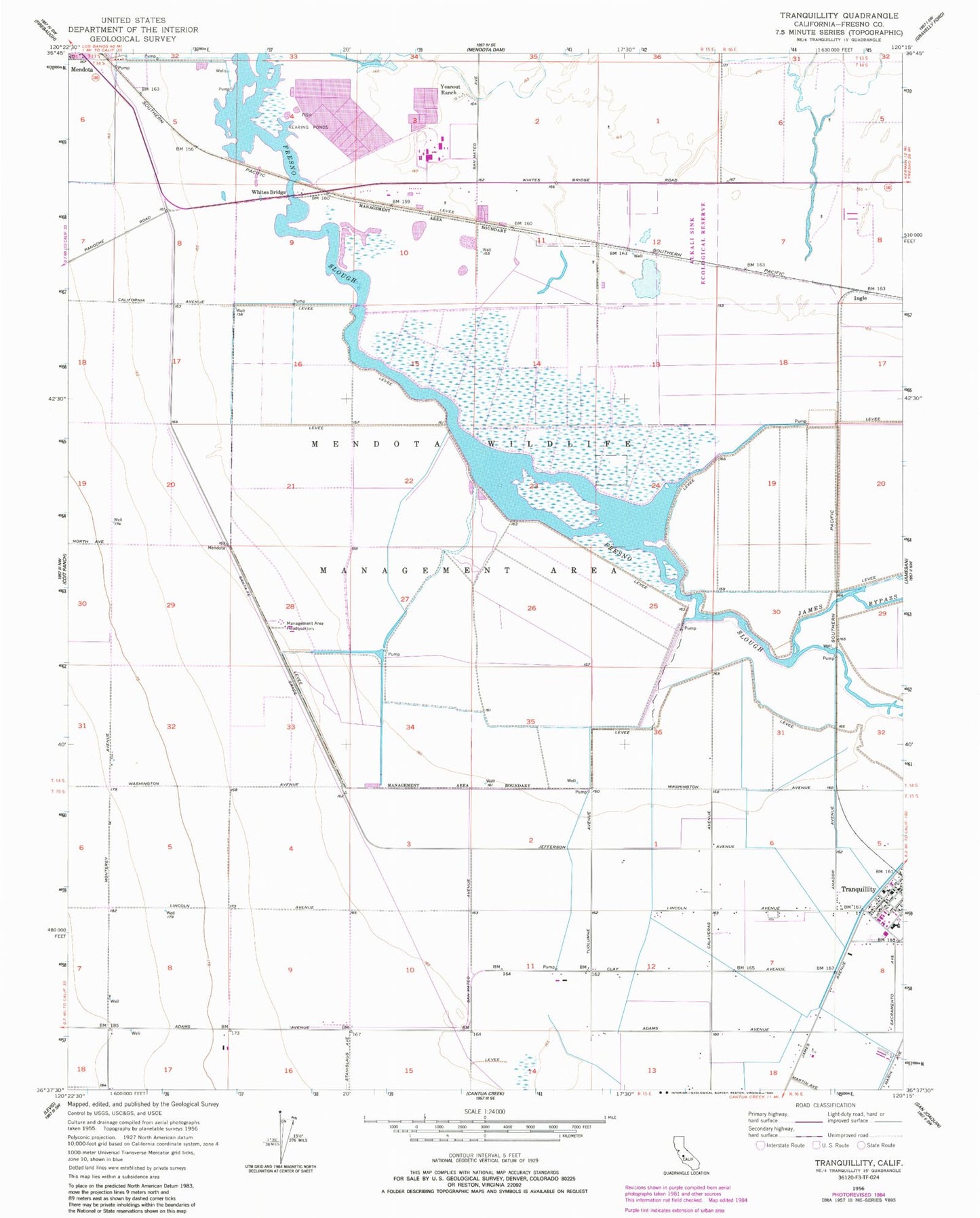
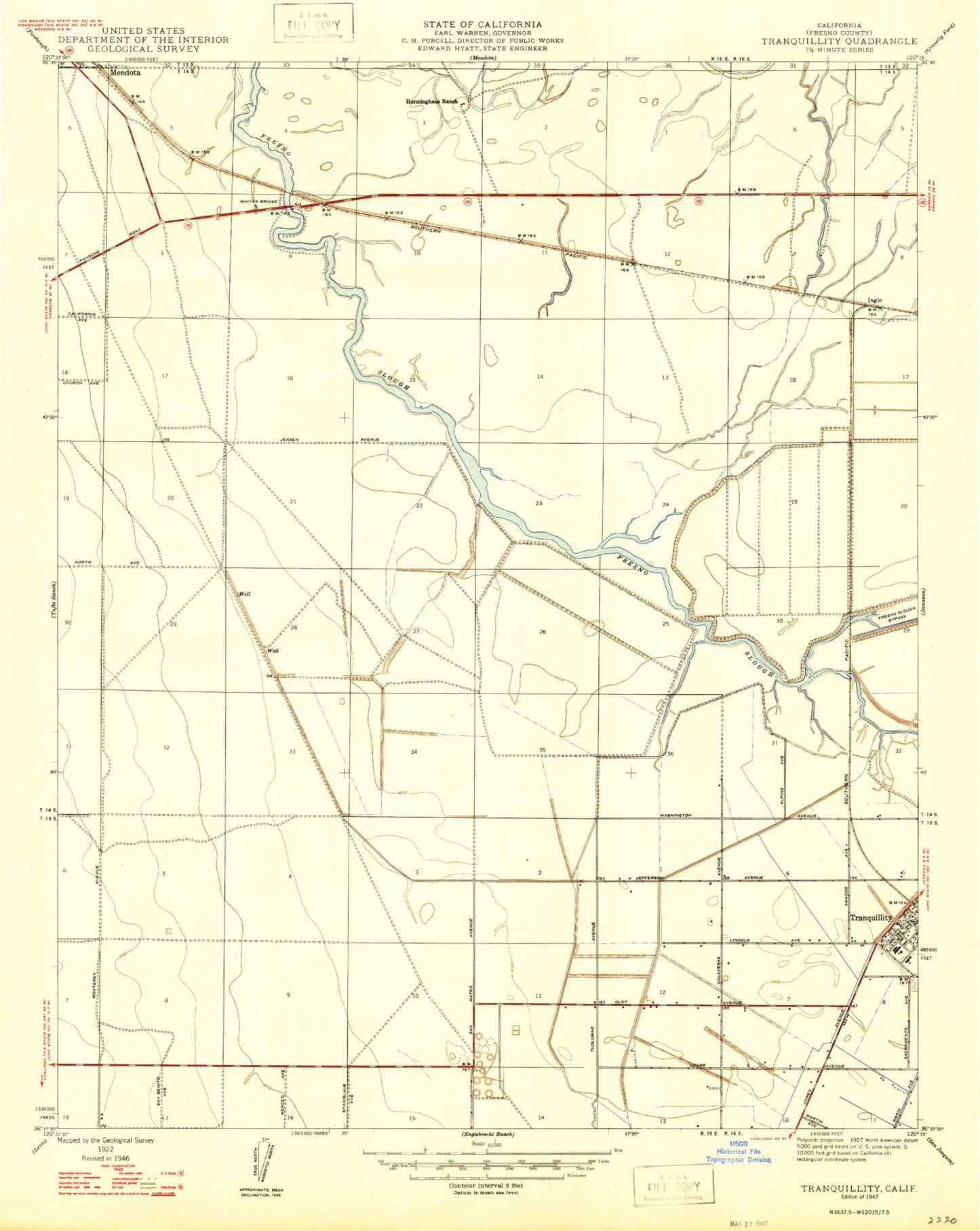
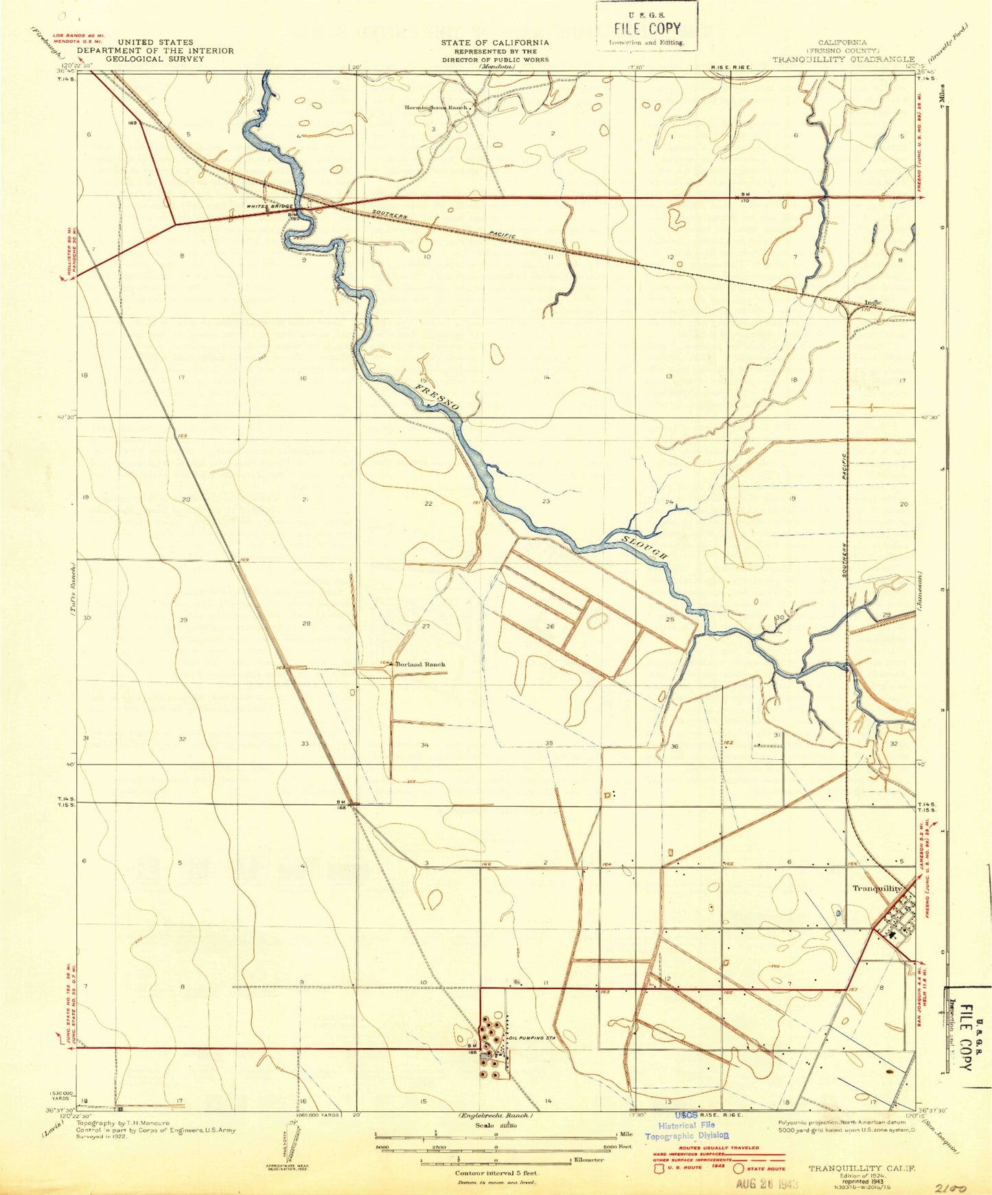
MyTopo
Classic USGS Tranquillity California 7.5'x7.5' Topo Map
Couldn't load pickup availability
Historical USGS topographic quad map of Tranquillity in the state of California. Map scale may vary for some years, but is generally around 1:24,000. Print size is approximately 24" x 27"
This quadrangle is in the following counties: Fresno.
The map contains contour lines, roads, rivers, towns, and lakes. Printed on high-quality waterproof paper with UV fade-resistant inks, and shipped rolled.
Contains the following named places: Alkali Sink Ecological Reserve, Borland Ranch, Fresno City, Fresno Slough, Ingle, Janetski Field, Mendota Waterfowl Management Area, Tranquility High School, Tranquillity, Tranquillity Census Designated Place, Tranquillity Elementary School, Tranquillity Post Office, Whites Bridge, Yearout Ranch, ZIP Code: 93668